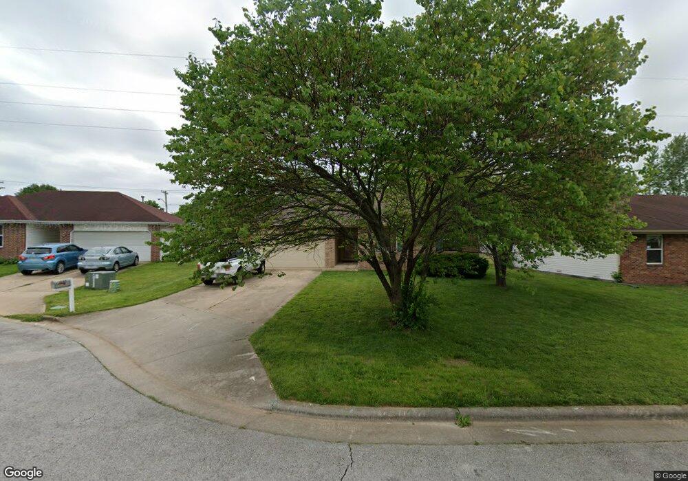
3048 W Sheffield St Springfield, MO 65802
Bissett NeighborhoodEstimated Value: $184,000 - $199,000
3
Beds
2
Baths
1,167
Sq Ft
$164/Sq Ft
Est. Value
About This Home
This home is located at 3048 W Sheffield St, Springfield, MO 65802 and is currently estimated at $191,626, approximately $164 per square foot. 3048 W Sheffield St is a home located in Greene County with nearby schools including Bissett Elementary School, Westport K-8 School, and Central High School.
Ownership History
Date
Name
Owned For
Owner Type
Purchase Details
Closed on
Jan 18, 2012
Sold by
Walker Carolyn Sue
Bought by
Walker Mike David
Current Estimated Value
Purchase Details
Closed on
Apr 12, 2006
Sold by
Phipps Donald J and Phipps Kathryn M
Bought by
Walker Michael D
Home Financials for this Owner
Home Financials are based on the most recent Mortgage that was taken out on this home.
Original Mortgage
$93,000
Outstanding Balance
$53,011
Interest Rate
6.22%
Mortgage Type
Purchase Money Mortgage
Estimated Equity
$138,615
Create a Home Valuation Report for This Property
The Home Valuation Report is an in-depth analysis detailing your home's value as well as a comparison with similar homes in the area
Home Values in the Area
Average Home Value in this Area
Purchase History
| Date | Buyer | Sale Price | Title Company |
|---|---|---|---|
| Walker Mike David | -- | None Available | |
| Walker Michael D | -- | None Available |
Source: Public Records
Mortgage History
| Date | Status | Borrower | Loan Amount |
|---|---|---|---|
| Open | Walker Michael D | $93,000 |
Source: Public Records
Tax History Compared to Growth
Tax History
| Year | Tax Paid | Tax Assessment Tax Assessment Total Assessment is a certain percentage of the fair market value that is determined by local assessors to be the total taxable value of land and additions on the property. | Land | Improvement |
|---|---|---|---|---|
| 2025 | $1,100 | $26,850 | $3,800 | $23,050 |
| 2024 | $1,100 | $20,500 | $1,900 | $18,600 |
| 2023 | $1,094 | $20,500 | $1,900 | $18,600 |
| 2022 | $955 | $17,480 | $1,900 | $15,580 |
| 2021 | $955 | $17,480 | $1,900 | $15,580 |
| 2020 | $973 | $17,040 | $1,900 | $15,140 |
| 2019 | $946 | $17,040 | $1,900 | $15,140 |
| 2018 | $858 | $15,470 | $1,900 | $13,570 |
| 2017 | $849 | $15,470 | $1,900 | $13,570 |
| 2016 | $848 | $15,470 | $1,900 | $13,570 |
| 2015 | $840 | $15,470 | $1,900 | $13,570 |
| 2014 | $839 | $15,330 | $1,900 | $13,430 |
Source: Public Records
Map
Nearby Homes
- 1017 N Golden Ave
- 3022 W Brower St
- 3251 W Scott St
- 1128 N Ohara Ave
- 928 N Glenn Ave
- 2956 W Lynn St
- 834 N Glenn Ave
- 3200 W Lynn St
- 2928 W Chestnut St
- 2916 W Chestnut St
- 1108 N Oak Park Dr
- 2914 W Chestnut St
- 1537 N Colgate Ave
- 1042 N Ethyl Ave
- 1330 N Fulbright Ave
- 1200 N Ethyl Ave
- 5087 E Ferdinand Ct
- 341 N Golden Ave
- 3041 W Water St
- 1206 N Clifton Ave
- 3056 W Sheffield St
- 3044 W Sheffield St
- 3064 W Sheffield St
- 1010 N Colgate Ave
- 3049 W Sheffield St
- 3055 W Sheffield St
- 1016 N Colgate Ave
- 3104 W Sheffield St
- 1024 N Colgate Ave
- 3063 W Sheffield St
- 3110 W Sheffield St
- 3103 W Sheffield St
- 3044 W Nichols St
- 3050 W Scott St
- 1030 N Colgate Ave
- 3056 W Scott St
- 3020 W Nichols St
- 3064 W Scott St
- 3104 W Nichols St
- 3111 W Sheffield St