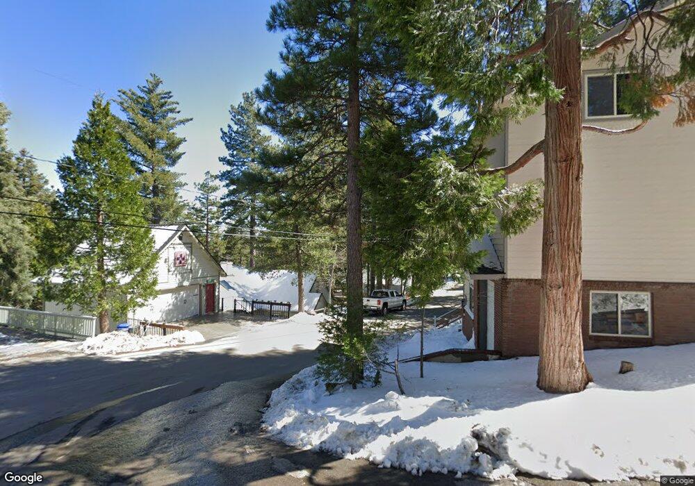
305 Cedar Ln Twin Peaks, CA 92391
Estimated Value: $354,000 - $366,000
2
Beds
2
Baths
1,008
Sq Ft
$355/Sq Ft
Est. Value
About This Home
This home is located at 305 Cedar Ln, Twin Peaks, CA 92391 and is currently estimated at $357,516, approximately $354 per square foot. 305 Cedar Ln is a home located in San Bernardino County with nearby schools including Lake Arrowhead Elementary School, Mary P. Henck Intermediate School, and Rim Of The World Senior High School.
Ownership History
Date
Name
Owned For
Owner Type
Purchase Details
Closed on
Oct 18, 2016
Sold by
Deryck Malcolm
Bought by
Deryck Malcolm and Deryck Bertha
Current Estimated Value
Purchase Details
Closed on
Jan 29, 2002
Sold by
Higginson Howard H
Bought by
Deryck Malcolm and Deryck Bertha
Home Financials for this Owner
Home Financials are based on the most recent Mortgage that was taken out on this home.
Original Mortgage
$60,000
Interest Rate
7.13%
Create a Home Valuation Report for This Property
The Home Valuation Report is an in-depth analysis detailing your home's value as well as a comparison with similar homes in the area
Home Values in the Area
Average Home Value in this Area
Purchase History
| Date | Buyer | Sale Price | Title Company |
|---|---|---|---|
| Deryck Malcolm | -- | None Available | |
| Deryck Malcolm | -- | None Available | |
| Deryck Malcolm | $100,000 | First American Title |
Source: Public Records
Mortgage History
| Date | Status | Borrower | Loan Amount |
|---|---|---|---|
| Closed | Deryck Malcolm | $60,000 |
Source: Public Records
Tax History Compared to Growth
Tax History
| Year | Tax Paid | Tax Assessment Tax Assessment Total Assessment is a certain percentage of the fair market value that is determined by local assessors to be the total taxable value of land and additions on the property. | Land | Improvement |
|---|---|---|---|---|
| 2025 | $3,091 | $147,732 | $36,932 | $110,800 |
| 2024 | $3,091 | $144,835 | $36,208 | $108,627 |
| 2023 | $2,872 | $141,995 | $35,498 | $106,497 |
| 2022 | $2,803 | $139,211 | $34,802 | $104,409 |
| 2021 | $2,774 | $136,482 | $34,120 | $102,362 |
| 2020 | $2,780 | $135,082 | $33,770 | $101,312 |
| 2019 | $2,714 | $132,433 | $33,108 | $99,325 |
| 2018 | $2,457 | $129,836 | $32,459 | $97,377 |
| 2017 | $2,406 | $127,291 | $31,823 | $95,468 |
| 2016 | $2,310 | $124,795 | $31,199 | $93,596 |
| 2015 | $2,320 | $122,920 | $30,730 | $92,190 |
| 2014 | $2,278 | $120,512 | $30,128 | $90,384 |
Source: Public Records
Map
Nearby Homes
- 305 Cedarbrook Dr
- 352 Cedarbrook Dr
- 491 Violet Dr
- 446 Cedarbrook Dr
- 337 Lookout Dr
- 26131 Lake Forest Dr
- 629 Lodge Ln
- 26182 Sky Ridge Dr
- 628 Rose Ln
- 593 Clubhouse Dr
- 26188 Boulder Ln
- 619 Rose Ln
- 206 S Fairway
- 25286 25286 North
- 25907 Mile Pine Rd
- 26520 Walnut Hills Dr
- 260 S Fairway Dr
- 0 Lake Forest Boulder Unit IG25041937
- 0 Hwy 189 Unit IG24229527
- 28 Forest Ln
- 305 Cedar Brook
- 305 Cedar Brook Dr
- 465 Oriole Dr
- 303 Cedarbrook Dr
- 453 Oriole Dr
- 306 Cedarbrook Dr
- 0 Oriole Dr
- 306 Aka 304 Cedarbrook Dr
- 311 Cedarbrook Dr
- 479 Oriole Dr
- 300 Cedarbrook Dr
- 301 Cedarbrook Dr
- 476 Oriole Dr
- 299 Cedarbrook Dr
- 475 Fern Dr
- 308 Cedarbrook Dr
- 441 Oriole Dr Unit 3
- 441 Oriole Dr Unit 1
- 441 Oriole Dr Unit 2
- 441 Oriole Dr