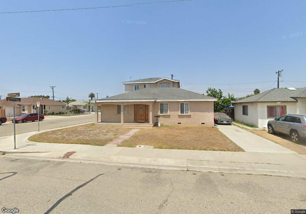
305 E Kamala St Oxnard, CA 93033
Cal-Gisler NeighborhoodEstimated Value: $615,000 - $769,000
5
Beds
2
Baths
972
Sq Ft
$726/Sq Ft
Est. Value
About This Home
This home is located at 305 E Kamala St, Oxnard, CA 93033 and is currently estimated at $705,220, approximately $725 per square foot. 305 E Kamala St is a home located in Ventura County with nearby schools including Harrington Elementary School, R.J. Frank Academy of Marine Science & Engineering, and Channel Islands High School.
Ownership History
Date
Name
Owned For
Owner Type
Purchase Details
Closed on
Jul 30, 1998
Sold by
Cardenas Ricardo N and Cardenas Maria R
Bought by
Heredia Jorge M
Current Estimated Value
Home Financials for this Owner
Home Financials are based on the most recent Mortgage that was taken out on this home.
Original Mortgage
$137,311
Outstanding Balance
$28,646
Interest Rate
6.92%
Mortgage Type
FHA
Estimated Equity
$676,574
Create a Home Valuation Report for This Property
The Home Valuation Report is an in-depth analysis detailing your home's value as well as a comparison with similar homes in the area
Home Values in the Area
Average Home Value in this Area
Purchase History
| Date | Buyer | Sale Price | Title Company |
|---|---|---|---|
| Heredia Jorge M | $140,000 | Lawyers Title Company |
Source: Public Records
Mortgage History
| Date | Status | Borrower | Loan Amount |
|---|---|---|---|
| Open | Heredia Jorge M | $137,311 |
Source: Public Records
Tax History
| Year | Tax Paid | Tax Assessment Tax Assessment Total Assessment is a certain percentage of the fair market value that is determined by local assessors to be the total taxable value of land and additions on the property. | Land | Improvement |
|---|---|---|---|---|
| 2025 | $3,818 | $319,772 | $87,713 | $232,059 |
| 2024 | $3,818 | $313,502 | $85,993 | $227,509 |
| 2023 | $3,678 | $307,355 | $84,306 | $223,049 |
| 2022 | $3,566 | $301,329 | $82,653 | $218,676 |
| 2021 | $3,536 | $295,421 | $81,032 | $214,389 |
| 2020 | $3,600 | $292,394 | $80,202 | $212,192 |
| 2019 | $3,498 | $286,662 | $78,630 | $208,032 |
| 2018 | $3,447 | $281,042 | $77,089 | $203,953 |
| 2017 | $3,271 | $275,532 | $75,578 | $199,954 |
| 2016 | $3,156 | $270,131 | $74,097 | $196,034 |
| 2015 | $3,188 | $266,076 | $72,985 | $193,091 |
| 2014 | $3,151 | $260,865 | $71,556 | $189,309 |
Source: Public Records
Map
Nearby Homes
- 225 W Iris St
- 168 Lark St
- 430-440 W Linden Dr
- 167 Hughes Dr
- 2024 S J St
- 1425 S E St
- 901 W Olive St
- 1036 Cheyenne Way
- 1239 S C St
- 3631 La Costa Place
- 1127 S C St
- 360 Ibsen Place Unit 129
- 300 Ibsen Place Unit 132
- 1301 Casa San Carlos Ln Unit D
- 775 Thayer Ln
- 4160 Petit Dr Unit 39
- 320 Columbia Place Unit 46
- 1928 San Benito St
- 1009 S G St
- 1190 S K St
- 315 E Kamala St
- 325 E Kamala St
- 304 E Juniper St
- 2225 Montrose St
- 2233 Montrose St
- 314 E Juniper St
- 304 E Kamala St
- 2215 Montrose St
- 2243 Montrose St
- 314 E Kamala St
- 324 E Juniper St
- 335 E Kamala St
- 324 E Kamala St
- 2205 Montrose St
- 2309 Montrose St
- 334 E Juniper St
- 334 E Kamala St
- 345 E Kamala St
- 2135 Montrose St
- 2234 San Marino St
Your Personal Tour Guide
Ask me questions while you tour the home.