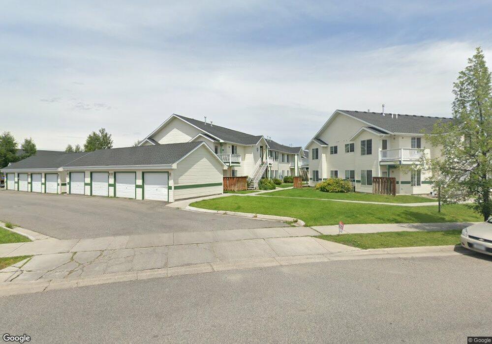
305 Michael Grove Ave Bozeman, MT 59718
Babcock NeighborhoodEstimated Value: $333,099 - $348,000
2
Beds
2
Baths
953
Sq Ft
$359/Sq Ft
Est. Value
About This Home
This home is located at 305 Michael Grove Ave, Bozeman, MT 59718 and is currently estimated at $342,366, approximately $359 per square foot. 305 Michael Grove Ave is a home located in Gallatin County with nearby schools including Emily Dickinson School, Chief Joseph Middle School, and Bozeman High School.
Ownership History
Date
Name
Owned For
Owner Type
Purchase Details
Closed on
Aug 14, 2019
Sold by
Sax Craig L and Sax Beryl J
Bought by
Bergman Bradford A and Bergman Billi J
Current Estimated Value
Home Financials for this Owner
Home Financials are based on the most recent Mortgage that was taken out on this home.
Original Mortgage
$150,000
Outstanding Balance
$100,508
Interest Rate
3.7%
Mortgage Type
New Conventional
Estimated Equity
$284,038
Create a Home Valuation Report for This Property
The Home Valuation Report is an in-depth analysis detailing your home's value as well as a comparison with similar homes in the area
Home Values in the Area
Average Home Value in this Area
Purchase History
| Date | Buyer | Sale Price | Title Company |
|---|---|---|---|
| Bergman Bradford A | -- | Montana Title And Escrow |
Source: Public Records
Mortgage History
| Date | Status | Borrower | Loan Amount |
|---|---|---|---|
| Open | Bergman Bradford A | $150,000 |
Source: Public Records
Tax History Compared to Growth
Tax History
| Year | Tax Paid | Tax Assessment Tax Assessment Total Assessment is a certain percentage of the fair market value that is determined by local assessors to be the total taxable value of land and additions on the property. | Land | Improvement |
|---|---|---|---|---|
| 2025 | $1,227 | $318,000 | $0 | $0 |
| 2024 | $2,216 | $332,900 | $0 | $0 |
| 2023 | $2,147 | $353,800 | $0 | $0 |
| 2022 | $1,596 | $208,100 | $0 | $0 |
| 2021 | $1,761 | $208,100 | $0 | $0 |
| 2020 | $1,453 | $169,600 | $0 | $0 |
| 2019 | $1,486 | $169,600 | $0 | $0 |
| 2018 | $1,316 | $139,100 | $0 | $0 |
| 2017 | $1,231 | $139,100 | $0 | $0 |
| 2016 | $1,036 | $109,300 | $0 | $0 |
| 2015 | $1,037 | $109,300 | $0 | $0 |
| 2014 | $1,211 | $75,154 | $0 | $0 |
Source: Public Records
Map
Nearby Homes
- 226 Peter Place Unit A-D
- 3020 W Villard St Unit 4D
- 350 Meriwether Ave
- 401 N Hunters Way
- 128 Droulliard Ave
- 440 Meriwether Ave
- 454 Meriwether Ave
- 309 Meriwether Ave
- 515 Michael Grove Ave Unit 55
- 410 Grouse Ct
- 470 Meriwether Ave
- 488 Meriwether Ave
- 2801 W Villard St
- 362 Chase Way Unit A
- 3205 W Babcock St
- 3197 Rose St
- 3334 W Babcock St Unit D
- 302 Swayback Ln
- 131 Stallion Dr
- 111 White Horse Loop
- 305 Michael Grove Ave
- 305 Michael Grove Ave
- 305 Michael Grove Ave
- 305 Michael Grove Ave
- 305 Michael Grove Ave
- 305 Michael Grove Ave
- 305 Michael Grove Ave
- 305 Michael Grove Ave Unit 2C
- 305 Michael Grove Ave Unit C
- 305 Michael Grove Ave Unit D
- 305 Michael Grove Ave Unit 2F
- 305 Michael Grove Ave Unit 2A
- 311 Michael Grove Ave
- 311 Michael Grove Ave
- 311 Michael Grove Ave
- 311 Michael Grove Ave
- 311 Michael Grove Ave
- 311 Michael Grove Ave
- 311 Michael Grove Ave
- 311 Michael Grove Ave