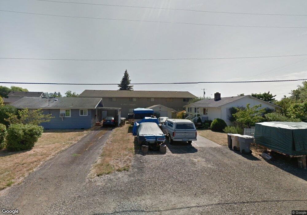
305 N 12th St Philomath, OR 97370
Estimated Value: $331,000 - $358,000
3
Beds
1
Bath
1,120
Sq Ft
$311/Sq Ft
Est. Value
About This Home
This home is located at 305 N 12th St, Philomath, OR 97370 and is currently estimated at $348,187, approximately $310 per square foot. 305 N 12th St is a home located in Benton County with nearby schools including Philomath Elementary School, Clemens Primary School, and Philomath Middle School.
Ownership History
Date
Name
Owned For
Owner Type
Purchase Details
Closed on
Jul 17, 2003
Sold by
Powley L Juanita and Estate Of Thomas A Gordon
Bought by
Hawkins Gerald R
Current Estimated Value
Home Financials for this Owner
Home Financials are based on the most recent Mortgage that was taken out on this home.
Original Mortgage
$88,000
Outstanding Balance
$36,866
Interest Rate
5.18%
Mortgage Type
Purchase Money Mortgage
Estimated Equity
$311,321
Create a Home Valuation Report for This Property
The Home Valuation Report is an in-depth analysis detailing your home's value as well as a comparison with similar homes in the area
Home Values in the Area
Average Home Value in this Area
Purchase History
| Date | Buyer | Sale Price | Title Company |
|---|---|---|---|
| Hawkins Gerald R | $110,000 | First American Title |
Source: Public Records
Mortgage History
| Date | Status | Borrower | Loan Amount |
|---|---|---|---|
| Open | Hawkins Gerald R | $88,000 | |
| Closed | Hawkins Gerald R | $11,000 |
Source: Public Records
Tax History Compared to Growth
Tax History
| Year | Tax Paid | Tax Assessment Tax Assessment Total Assessment is a certain percentage of the fair market value that is determined by local assessors to be the total taxable value of land and additions on the property. | Land | Improvement |
|---|---|---|---|---|
| 2025 | $3,522 | $174,201 | -- | -- |
| 2024 | $3,522 | $169,127 | -- | -- |
| 2023 | $3,338 | $164,201 | $0 | $0 |
| 2022 | $3,241 | $159,418 | $0 | $0 |
| 2021 | $3,149 | $154,775 | $0 | $0 |
| 2020 | $3,168 | $150,267 | $0 | $0 |
| 2019 | $2,497 | $145,890 | $0 | $0 |
| 2018 | $2,513 | $141,641 | $0 | $0 |
| 2017 | $2,455 | $137,516 | $0 | $0 |
| 2016 | $2,354 | $133,511 | $0 | $0 |
| 2015 | $2,228 | $129,622 | $0 | $0 |
| 2014 | $2,196 | $125,847 | $0 | $0 |
| 2012 | -- | $118,623 | $0 | $0 |
Source: Public Records
Map
Nearby Homes
- 345 N 11th (351) St
- 990 Pippa Ln
- 223 N 14th St
- 807 N 12th St
- 881 Quail Glenn Dr
- 769 N 9th St
- 852 Marilyn Dr
- 807 Quail Glenn Dr
- 803 Main St
- 791 Quail Glenn Dr
- 801 Quail Glenn Dr
- 1717 Main St
- 240 N 19th St
- 609 Coastal View (Land Next To) Dr
- 538 Starlight Way
- 235 S 18th St
- 1502 Timothy St
- 609 Coastal View Dr (Lan
- 135 S 21st St
- 760 S 16th St
- 35577 Swordfern Ridge Rd
- 0 Porter Rd Unit 719256
- 0 Porter Rd Unit 709382
- 0 Porter Rd Unit 9041754
- 0 Porter Rd Unit 741308
- 315 N 12th St
- 1215 Pioneer St
- 1215 Pioneer St
- 1137 Pioneer St
- 331 N 12th St
- 318 N 12th St
- 1140 Pioneer St
- 306 N 13th St
- 229 N 12th St
- 1129 Pioneer St
- 333 N 12th St
- 320 N 13th St
- 334 N 13th St
- 280 N 13th St
- 240 N 13th St