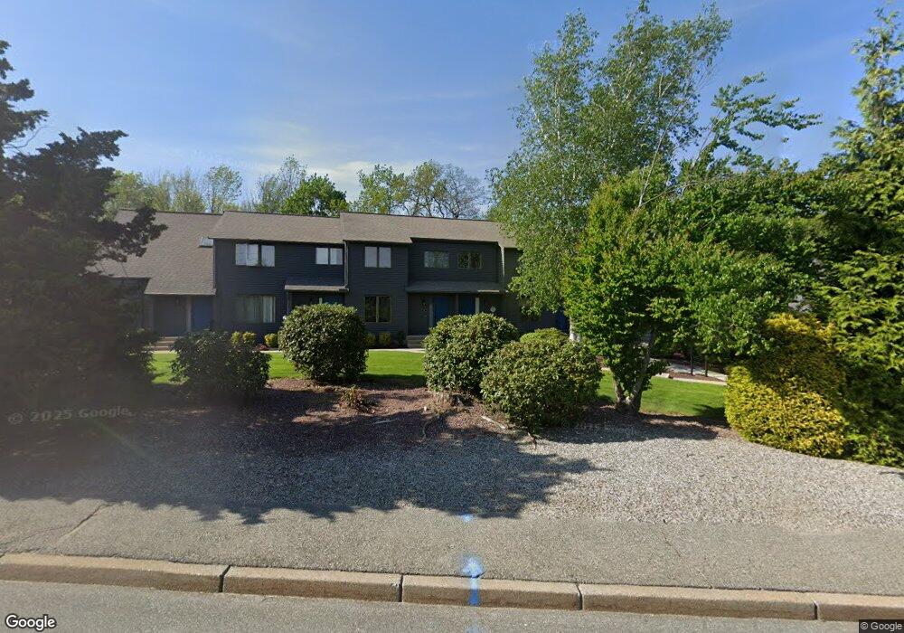
305 Scituate Ave Unit B Cranston, RI 02921
Comstock Gardens NeighborhoodEstimated Value: $347,000 - $402,000
2
Beds
2
Baths
1,140
Sq Ft
$323/Sq Ft
Est. Value
About This Home
This home is located at 305 Scituate Ave Unit B, Cranston, RI 02921 and is currently estimated at $368,657, approximately $323 per square foot. 305 Scituate Ave Unit B is a home located in Providence County with nearby schools including Stone Hill School, Western Hills Middle School, and Cranston High School West.
Ownership History
Date
Name
Owned For
Owner Type
Purchase Details
Closed on
Mar 29, 2023
Sold by
Donna A Andrews T
Bought by
Donna A Andrews Irft
Current Estimated Value
Purchase Details
Closed on
Nov 13, 2017
Sold by
Edward A Andrews 2013
Bought by
Donna A Andrews 2013 T
Purchase Details
Closed on
May 19, 2017
Sold by
Susi Robert and Susi Patricia R
Bought by
Edward A Andrews 2013
Purchase Details
Closed on
May 8, 2006
Sold by
Dinardo Deborah
Bought by
Susi Robert and Susi Patricia
Home Financials for this Owner
Home Financials are based on the most recent Mortgage that was taken out on this home.
Original Mortgage
$130,000
Interest Rate
6.34%
Mortgage Type
Purchase Money Mortgage
Create a Home Valuation Report for This Property
The Home Valuation Report is an in-depth analysis detailing your home's value as well as a comparison with similar homes in the area
Home Values in the Area
Average Home Value in this Area
Purchase History
| Date | Buyer | Sale Price | Title Company |
|---|---|---|---|
| Donna A Andrews Irft | -- | None Available | |
| Donna A Andrews 2013 T | -- | -- | |
| Edward A Andrews 2013 | $172,000 | -- | |
| Susi Robert | $227,000 | -- |
Source: Public Records
Mortgage History
| Date | Status | Borrower | Loan Amount |
|---|---|---|---|
| Previous Owner | Susi Robert | $126,000 | |
| Previous Owner | Susi Robert | $130,000 |
Source: Public Records
Tax History Compared to Growth
Tax History
| Year | Tax Paid | Tax Assessment Tax Assessment Total Assessment is a certain percentage of the fair market value that is determined by local assessors to be the total taxable value of land and additions on the property. | Land | Improvement |
|---|---|---|---|---|
| 2025 | $4,562 | $328,700 | $0 | $328,700 |
| 2024 | $4,474 | $328,700 | $0 | $328,700 |
| 2023 | $3,929 | $207,900 | $0 | $207,900 |
| 2022 | $3,848 | $207,900 | $0 | $207,900 |
| 2021 | $3,742 | $207,900 | $0 | $207,900 |
| 2020 | $3,442 | $165,700 | $0 | $165,700 |
| 2019 | $3,442 | $165,700 | $0 | $165,700 |
| 2018 | $3,362 | $165,700 | $0 | $165,700 |
| 2017 | $3,113 | $135,700 | $0 | $135,700 |
| 2016 | $3,046 | $135,700 | $0 | $135,700 |
| 2015 | $3,046 | $135,700 | $0 | $135,700 |
| 2014 | $2,855 | $125,000 | $0 | $125,000 |
Source: Public Records
Map
Nearby Homes
- 435 Scituate Ave
- 56 Scituate Ave
- 333 Phenix Ave
- 0 Phenix Ave Unit 1384514
- 95 Amy Dr
- 105 Amy Dr
- 20 Wild Berry Dr
- 134 Lake Garden Dr
- 11 Red Robin Rd
- 51 Stone Dr
- 26 Scituate Farms Dr
- 17 Woodview Dr
- 00 Burton St
- 71 Norton Ave
- 30 Dutchess Dr
- 20 Doreen Ct
- 180 Highland St
- 178 Highland St
- 21 Charles St
- 93 Elena St
- 305 Scituate Ave Unit A
- 305 Scituate Ave Unit F
- 305 Scituate Ave Unit E
- 305 Scituate Ave Unit D
- 305 Scituate Ave Unit C
- 305 Scituate Ave Unit 305E
- 305 Scituate Ave Unit 305 E
- 315 Scituate Ave Unit A
- 315 Scituate Ave Unit E
- 315 Scituate Ave Unit D
- 315 Scituate Ave Unit B
- 315 Scituate Ave Unit 315E
- 315 Scituate Ave Unit 315 A
- 295 Scituate Ave Unit B
- 295 Scituate Ave Unit A
- 295 Scituate Ave Unit F
- 295 Scituate Ave Unit E
- 295 Scituate Ave Unit D
- 295 Scituate Ave Unit C
- 295 Scituate Ave Unit 295B