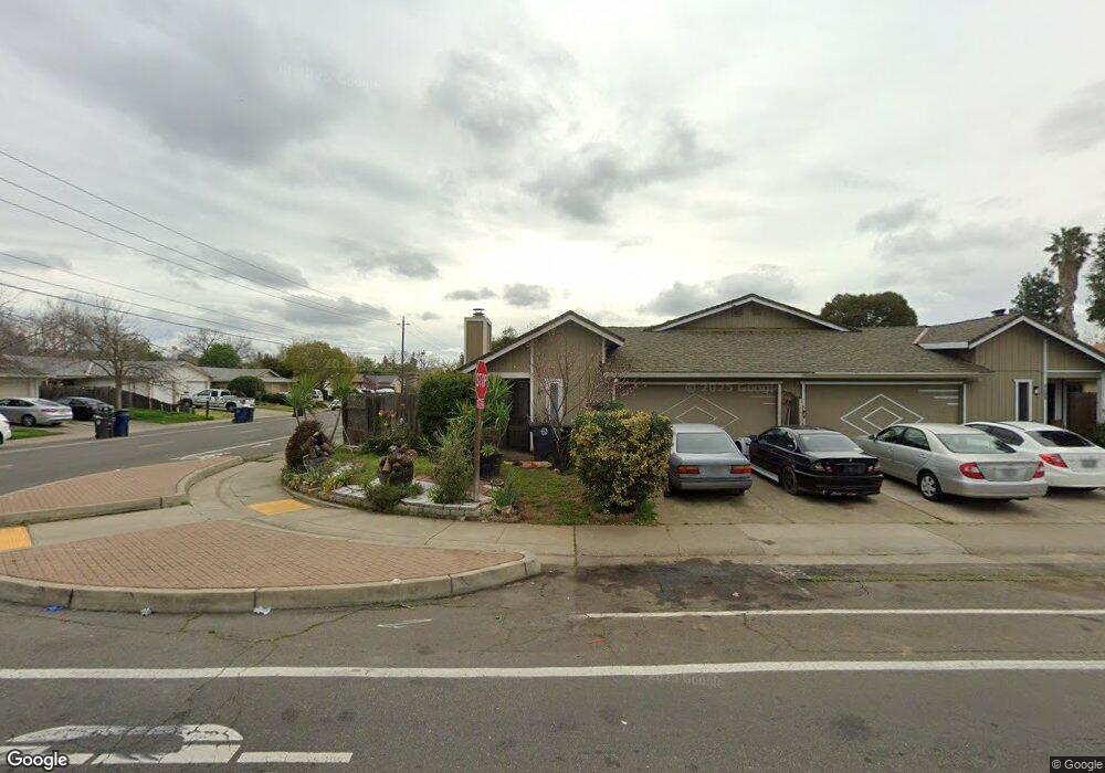
3051 Laurelhurst Dr Rancho Cordova, CA 95670
South White Rock NeighborhoodEstimated Value: $319,000 - $373,000
2
Beds
2
Baths
1,111
Sq Ft
$314/Sq Ft
Est. Value
About This Home
This home is located at 3051 Laurelhurst Dr, Rancho Cordova, CA 95670 and is currently estimated at $349,318, approximately $314 per square foot. 3051 Laurelhurst Dr is a home located in Sacramento County with nearby schools including Cordova Villa Elementary School, Mills Middle School, and Cordova High School.
Ownership History
Date
Name
Owned For
Owner Type
Purchase Details
Closed on
Sep 25, 2014
Sold by
Hilditch Robert J
Bought by
Hilditch Robert J and Hilditch Maile Renee
Current Estimated Value
Home Financials for this Owner
Home Financials are based on the most recent Mortgage that was taken out on this home.
Original Mortgage
$102,400
Outstanding Balance
$78,418
Interest Rate
4.07%
Mortgage Type
New Conventional
Estimated Equity
$270,900
Purchase Details
Closed on
Jan 7, 1999
Sold by
Hud
Bought by
Hilditch Robert J
Home Financials for this Owner
Home Financials are based on the most recent Mortgage that was taken out on this home.
Original Mortgage
$50,992
Interest Rate
6.73%
Mortgage Type
FHA
Purchase Details
Closed on
Jul 9, 1998
Sold by
Norwest Mtg Inc
Bought by
Hud
Purchase Details
Closed on
Jun 10, 1998
Sold by
Shaw Garland and Shaw Hoshim
Bought by
Norwest Mtg Inc
Create a Home Valuation Report for This Property
The Home Valuation Report is an in-depth analysis detailing your home's value as well as a comparison with similar homes in the area
Home Values in the Area
Average Home Value in this Area
Purchase History
| Date | Buyer | Sale Price | Title Company |
|---|---|---|---|
| Hilditch Robert J | -- | Lawyers Title | |
| Hilditch Robert J | $48,000 | Stewart Title | |
| Hud | -- | -- | |
| Norwest Mtg Inc | $89,942 | -- |
Source: Public Records
Mortgage History
| Date | Status | Borrower | Loan Amount |
|---|---|---|---|
| Open | Hilditch Robert J | $102,400 | |
| Closed | Hilditch Robert J | $50,992 |
Source: Public Records
Tax History Compared to Growth
Tax History
| Year | Tax Paid | Tax Assessment Tax Assessment Total Assessment is a certain percentage of the fair market value that is determined by local assessors to be the total taxable value of land and additions on the property. | Land | Improvement |
|---|---|---|---|---|
| 2025 | $2,340 | $74,968 | $31,340 | $43,628 |
| 2024 | $2,340 | $73,499 | $30,726 | $42,773 |
| 2023 | $895 | $72,059 | $30,124 | $41,935 |
| 2022 | $2,347 | $70,647 | $29,534 | $41,113 |
| 2021 | $2,357 | $69,262 | $28,955 | $40,307 |
| 2020 | $854 | $68,553 | $28,659 | $39,894 |
| 2019 | $1,817 | $67,210 | $28,098 | $39,112 |
| 2018 | $1,555 | $65,894 | $27,548 | $38,346 |
| 2017 | $1,062 | $64,603 | $27,008 | $37,595 |
| 2016 | $1,196 | $63,337 | $26,479 | $36,858 |
| 2015 | $1,245 | $62,387 | $26,082 | $36,305 |
| 2014 | $1,405 | $61,166 | $25,572 | $35,594 |
Source: Public Records
Map
Nearby Homes
- 10395 S White Rock Rd Unit B
- 10850 Basie Way
- 10276 S White Rock Rd
- 10834 Basie Way
- 10806 Basie Way
- 10518 Mills Acres Cir
- 10472 Abbottford Way
- 10335 White Rock Rd
- 10732 Paiute Way
- 2669 Dawes St
- 10233 Countryside Way
- 10228 Coloma Rd
- 2640 Tronero Way
- 2724 Zinfandel Dr
- 2628 Tronero Way
- 10035 Mills Station Rd
- 10035 Mills Station Rd Unit 60
- 10035 Mills Station Rd Unit 26
- 10035 Mills Station Rd Unit 136
- 10035 Mills Station Rd Unit 153
- 3053 Laurelhurst Dr
- 3057 Laurelhurst Dr
- 10405 S White Rock Rd Unit B
- 10405 S White Rock Rd Unit B
- 10405 S White Rock Rd
- 10405 S White Rock Rd
- 3059 Laurelhurst Dr
- 10414 S White Rock Rd
- 10418 S White Rock Rd
- 10399 S White Rock Rd
- 10399 S White Rock Rd
- 10410 S White Rock Rd
- 10422 S White Rock Rd
- 10397 S White Rock Rd
- 10397 S White Rock Rd
- 10406 S White Rock Rd
- 10424 S White Rock Rd
- 3201 Sanbury Cir
- 10402 S White Rock Rd
- 10400 S White Rock Rd