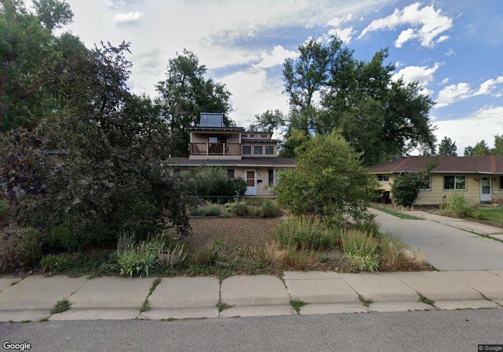
3055 Ash Ave Boulder, CO 80305
South Boulder NeighborhoodEstimated Value: $1,014,887 - $1,133,000
3
Beds
2
Baths
2,180
Sq Ft
$498/Sq Ft
Est. Value
About This Home
This home is located at 3055 Ash Ave, Boulder, CO 80305 and is currently estimated at $1,085,972, approximately $498 per square foot. 3055 Ash Ave is a home located in Boulder County with nearby schools including Creekside Elementary School, Manhattan Middle School of the Arts & Academics, and Fairview High School.
Ownership History
Date
Name
Owned For
Owner Type
Purchase Details
Closed on
Dec 14, 2022
Sold by
Hamilton Kimberli
Bought by
Morden David T
Current Estimated Value
Purchase Details
Closed on
Dec 13, 2007
Sold by
Morden David T
Bought by
Morden David T
Purchase Details
Closed on
Jan 6, 1992
Bought by
Morden David T and Hamilton Kim
Purchase Details
Closed on
Oct 28, 1991
Bought by
Morden David T and Hamilton Kim
Purchase Details
Closed on
Jul 7, 1987
Bought by
Morden David T and Hamilton Kim
Purchase Details
Closed on
Jan 10, 1986
Bought by
Morden David T and Hamilton Kim
Create a Home Valuation Report for This Property
The Home Valuation Report is an in-depth analysis detailing your home's value as well as a comparison with similar homes in the area
Home Values in the Area
Average Home Value in this Area
Purchase History
| Date | Buyer | Sale Price | Title Company |
|---|---|---|---|
| Morden David T | $408,000 | -- | |
| Morden David T | -- | None Available | |
| Morden David T | $87,000 | -- | |
| Morden David T | -- | -- | |
| Morden David T | $80,400 | -- | |
| Morden David T | $81,300 | -- |
Source: Public Records
Tax History
| Year | Tax Paid | Tax Assessment Tax Assessment Total Assessment is a certain percentage of the fair market value that is determined by local assessors to be the total taxable value of land and additions on the property. | Land | Improvement |
|---|---|---|---|---|
| 2025 | $5,998 | $67,913 | $27,988 | $39,925 |
| 2024 | $5,998 | $67,913 | $27,988 | $39,925 |
| 2023 | $5,894 | $74,953 | $32,924 | $45,714 |
| 2022 | $5,168 | $62,606 | $24,937 | $37,669 |
| 2021 | $4,928 | $64,407 | $25,654 | $38,753 |
| 2020 | $4,392 | $57,608 | $24,668 | $32,940 |
| 2019 | $4,325 | $57,608 | $24,668 | $32,940 |
| 2018 | $3,908 | $52,272 | $22,752 | $29,520 |
| 2017 | $4,390 | $57,790 | $25,154 | $32,636 |
| 2016 | $4,088 | $47,219 | $18,865 | $28,354 |
| 2015 | $3,871 | $39,943 | $20,457 | $19,486 |
| 2014 | $3,358 | $39,943 | $20,457 | $19,486 |
Source: Public Records
Map
Nearby Homes
- 2585 Kohler Dr
- 245 Fair Place
- 2955 Stanford Ave
- 2221 Columbine Ave
- 3805 Martin Dr
- 345 S 38th St
- 2032 Mariposa Ave
- 805 29th St Unit 253
- 805 29th St Unit 157
- 805 29th St Unit 402
- 210 S 39th St
- 2141 Baseline Rd Unit 18
- 2030 Columbine Ave
- 2235 Vassar Dr
- 2850 Aurora Ave Unit 107
- 2800 Aurora Ave Unit 119
- 2100 Kohler Dr
- 450 S 40th St
- 1965 Kohler Dr
- 450 S 41st St
Your Personal Tour Guide
Ask me questions while you tour the home.