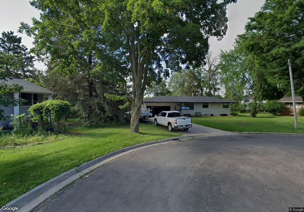
3058 Farrington Ct Saint Paul, MN 55113
South Owasso NeighborhoodEstimated Value: $341,000 - $384,000
3
Beds
2
Baths
640
Sq Ft
$572/Sq Ft
Est. Value
About This Home
This home is located at 3058 Farrington Ct, Saint Paul, MN 55113 and is currently estimated at $365,785, approximately $571 per square foot. 3058 Farrington Ct is a home located in Ramsey County with nearby schools including Emmet D. Williams Elementary School, Roseville Area Middle School, and Roseville Area Senior High School.
Ownership History
Date
Name
Owned For
Owner Type
Purchase Details
Closed on
Oct 15, 2019
Sold by
Hustad Dale D and Hustad Marlys C
Bought by
Bentley Corey D
Current Estimated Value
Home Financials for this Owner
Home Financials are based on the most recent Mortgage that was taken out on this home.
Original Mortgage
$220,500
Outstanding Balance
$193,169
Interest Rate
3.5%
Mortgage Type
New Conventional
Estimated Equity
$172,616
Create a Home Valuation Report for This Property
The Home Valuation Report is an in-depth analysis detailing your home's value as well as a comparison with similar homes in the area
Home Values in the Area
Average Home Value in this Area
Purchase History
| Date | Buyer | Sale Price | Title Company |
|---|---|---|---|
| Bentley Corey D | $245,000 | Land Title Inc |
Source: Public Records
Mortgage History
| Date | Status | Borrower | Loan Amount |
|---|---|---|---|
| Open | Bentley Corey D | $220,500 |
Source: Public Records
Tax History Compared to Growth
Tax History
| Year | Tax Paid | Tax Assessment Tax Assessment Total Assessment is a certain percentage of the fair market value that is determined by local assessors to be the total taxable value of land and additions on the property. | Land | Improvement |
|---|---|---|---|---|
| 2025 | $4,346 | $351,300 | $105,000 | $246,300 |
| 2023 | $4,346 | $314,600 | $94,500 | $220,100 |
| 2022 | $4,132 | $308,000 | $94,500 | $213,500 |
| 2021 | $3,332 | $282,500 | $90,000 | $192,500 |
| 2020 | $3,716 | $248,000 | $80,000 | $168,000 |
| 2019 | $3,714 | $257,500 | $80,000 | $177,500 |
| 2018 | $3,426 | $250,700 | $84,500 | $166,200 |
| 2017 | $2,978 | $227,900 | $84,500 | $143,400 |
| 2016 | $3,046 | $0 | $0 | $0 |
| 2015 | $3,312 | $214,100 | $92,700 | $121,400 |
| 2014 | $3,188 | $0 | $0 | $0 |
Source: Public Records
Map
Nearby Homes
- 2970 Western Ave N
- 2841 Galtier St
- 2821 Galtier St
- 2814 Matilda St
- 405 Judith Ave
- 2802 Marion St
- 387 Iona Ln
- 417 W Horseshoe Dr
- 2687 Galtier St
- 2720 MacKubin St
- 540 Woodhill Dr Unit 71
- 3318 W Owasso Blvd
- 2730 Dale St N Unit D101
- 3399 Kent St Unit 211
- 2720 Dale St N Unit C208
- 2710 Dale St N Unit B212
- 111 Yorkton Ridge
- 2939 W Owasso Blvd
- 3421 Kent St Unit 607
- 3421 Kent St Unit 614
- 3062 Farrington Ct
- 3059 Farrington Ct
- 3040 S Owasso Blvd
- 3040 S Owasso Blvd W
- 3063 Farrington Ct
- 3066 Farrington Ct
- 3030 S Owasso Blvd W
- 3050 S Owasso Blvd W
- 3071 Farrington Ct
- 3060 S Owasso Blvd W
- 3076 Farrington Ct
- 3068 S Owasso Blvd W
- 303 S Owasso Blvd W
- 3077 Farrington Ct
- 3020 S Owasso Blvd
- 3020 S Owasso Blvd W
- 3078 S Owasso Blvd W
- 3084 Farrington Ct
- 3085 Farrington Ct
- 3010 Owasso Blvd S