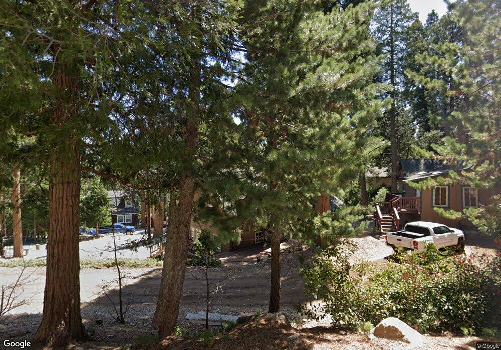
306 Cedarbrook Dr Twin Peaks, CA 92391
Estimated Value: $852,000 - $1,095,000
5
Beds
5
Baths
2,776
Sq Ft
$359/Sq Ft
Est. Value
About This Home
This home is located at 306 Cedarbrook Dr, Twin Peaks, CA 92391 and is currently estimated at $996,868, approximately $359 per square foot. 306 Cedarbrook Dr is a home with nearby schools including Lake Arrowhead Elementary School, Mary P. Henck Intermediate School, and Rim Of The World Senior High School.
Ownership History
Date
Name
Owned For
Owner Type
Purchase Details
Closed on
Feb 10, 2004
Sold by
Carter Paul H and Carter Linda M
Bought by
Duringer Stephen C and Duringer Wendy L
Current Estimated Value
Home Financials for this Owner
Home Financials are based on the most recent Mortgage that was taken out on this home.
Original Mortgage
$266,000
Outstanding Balance
$119,708
Interest Rate
5.25%
Mortgage Type
New Conventional
Estimated Equity
$877,160
Purchase Details
Closed on
Oct 13, 1995
Sold by
Buoye Little Carolyn L and Little Allan B
Bought by
Carter Paul H and Carter Linda M
Home Financials for this Owner
Home Financials are based on the most recent Mortgage that was taken out on this home.
Original Mortgage
$170,000
Interest Rate
7.58%
Mortgage Type
Seller Take Back
Purchase Details
Closed on
Aug 31, 1993
Sold by
Little Carolyn L Buoye
Bought by
Buoye Little Carolyn L
Create a Home Valuation Report for This Property
The Home Valuation Report is an in-depth analysis detailing your home's value as well as a comparison with similar homes in the area
Home Values in the Area
Average Home Value in this Area
Purchase History
| Date | Buyer | Sale Price | Title Company |
|---|---|---|---|
| Duringer Stephen C | $405,000 | -- | |
| Carter Paul H | $215,000 | Commonwealth Land Title | |
| Buoye Little Carolyn L | -- | -- |
Source: Public Records
Mortgage History
| Date | Status | Borrower | Loan Amount |
|---|---|---|---|
| Open | Duringer Stephen C | $266,000 | |
| Previous Owner | Carter Paul H | $170,000 |
Source: Public Records
Tax History
| Year | Tax Paid | Tax Assessment Tax Assessment Total Assessment is a certain percentage of the fair market value that is determined by local assessors to be the total taxable value of land and additions on the property. | Land | Improvement |
|---|---|---|---|---|
| 2025 | $8,481 | $575,831 | $35,546 | $540,285 |
| 2024 | $8,185 | $564,540 | $34,849 | $529,691 |
| 2023 | $7,906 | $553,471 | $34,166 | $519,305 |
| 2022 | $7,737 | $542,619 | $33,496 | $509,123 |
| 2021 | $7,652 | $531,979 | $32,839 | $499,140 |
| 2020 | $7,658 | $526,524 | $32,502 | $494,022 |
| 2019 | $7,465 | $516,200 | $31,865 | $484,335 |
| 2018 | $6,933 | $506,078 | $31,240 | $474,838 |
| 2017 | $6,798 | $496,154 | $30,627 | $465,527 |
| 2016 | $6,562 | $486,425 | $30,026 | $456,399 |
| 2015 | $6,522 | $479,118 | $29,575 | $449,543 |
| 2014 | $6,535 | $469,733 | $28,996 | $440,737 |
Source: Public Records
Map
Nearby Homes
- 453 Oriole Dr
- 305 Cedarbrook Dr
- 268 Cedarbrook Dr
- 491 Violet Dr
- 446 Cedarbrook Dr
- 372 Cedarbrook Dr
- 337 Lookout Dr
- 586 Rose Ln
- 26182 Sky Ridge Dr
- 628 Rose Ln
- 260 S Fairway Dr
- 206 S Fairway
- 610 Club House Dr
- 26220 Boulder Ln
- 26328 Jacqueline Rd
- 305 Auburn Dr
- 26272 Thunderbird Dr
- 558 Rose Ln
- 590 0 Rose Ln
- 26314 Jacqueline Rd
Your Personal Tour Guide
Ask me questions while you tour the home.