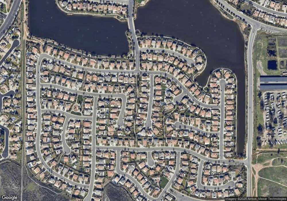
30635 Whetstone Cir Menifee, CA 92584
Menifee Lakes NeighborhoodEstimated Value: $573,000 - $615,000
3
Beds
3
Baths
1,901
Sq Ft
$308/Sq Ft
Est. Value
About This Home
This home is located at 30635 Whetstone Cir, Menifee, CA 92584 and is currently estimated at $585,540, approximately $308 per square foot. 30635 Whetstone Cir is a home located in Riverside County with nearby schools including Southshore Elementary School, Bell Mountain Middle School, and Pinacate Middle School.
Ownership History
Date
Name
Owned For
Owner Type
Purchase Details
Closed on
Mar 21, 2011
Sold by
Centex Homes
Bought by
Perez Severo J and Perez Kelly L
Current Estimated Value
Home Financials for this Owner
Home Financials are based on the most recent Mortgage that was taken out on this home.
Original Mortgage
$234,293
Outstanding Balance
$161,286
Interest Rate
4.83%
Mortgage Type
New Conventional
Estimated Equity
$424,254
Create a Home Valuation Report for This Property
The Home Valuation Report is an in-depth analysis detailing your home's value as well as a comparison with similar homes in the area
Home Values in the Area
Average Home Value in this Area
Purchase History
| Date | Buyer | Sale Price | Title Company |
|---|---|---|---|
| Perez Severo J | $226,500 | First American Title Company |
Source: Public Records
Mortgage History
| Date | Status | Borrower | Loan Amount |
|---|---|---|---|
| Open | Perez Severo J | $234,293 |
Source: Public Records
Tax History
| Year | Tax Paid | Tax Assessment Tax Assessment Total Assessment is a certain percentage of the fair market value that is determined by local assessors to be the total taxable value of land and additions on the property. | Land | Improvement |
|---|---|---|---|---|
| 2025 | $5,975 | $289,645 | $83,264 | $206,381 |
| 2023 | $5,975 | $278,400 | $80,032 | $198,368 |
| 2022 | $5,964 | $272,942 | $78,463 | $194,479 |
| 2021 | $5,957 | $267,591 | $76,925 | $190,666 |
| 2020 | $5,960 | $264,848 | $76,137 | $188,711 |
| 2019 | $5,885 | $259,656 | $74,645 | $185,011 |
| 2018 | $5,834 | $254,566 | $73,183 | $181,383 |
| 2017 | $5,666 | $249,576 | $71,749 | $177,827 |
| 2016 | $5,595 | $244,684 | $70,343 | $174,341 |
| 2015 | $5,655 | $241,011 | $69,288 | $171,723 |
| 2014 | $5,634 | $236,292 | $67,932 | $168,360 |
Source: Public Records
Map
Nearby Homes
- 29246 Loden Cir
- 29106 Hidden Meadow Dr
- Plan 2543 Modeled at Nautical Cove - Amelia
- Plan 1879 at Nautical Cove - Amelia
- Plan 2321 Modeled at Nautical Cove - Gatsby
- Plan 2874 at Nautical Cove - Gatsby
- Plan 1539 Modeled at Nautical Cove - Amelia
- Plan 2415 at Nautical Cove - Amelia
- Plan 3119 Modeled at Nautical Cove - Gatsby
- Plan 2080 at Nautical Cove - Gatsby
- Plan 2613 Modeled at Nautical Cove - Gatsby
- Plan 2195 Modeled at Nautical Cove - Amelia
- 30679 View Ridge Ln
- 30440 Teal Brook Dr
- 30272 Tattersail Way
- 30237 Bristol Gate Ln
- 30261 Tattersail Way
- 30209 Linden Gate Ln
- 30084 Leeward Ct
- 30100 Sutton Ct
- 30647 Whetstone Cir
- 30623 Whetstone Cir
- 30659 Whetstone Cir
- 30611 Whetstone Cir
- 30642 Lime Rock Cir
- 30632 Whetstone Cir
- 30644 Whetstone Cir
- 30630 Lime Rock Cir
- 30656 Whetstone Cir
- 30620 Whetstone Cir
- 30654 Lime Rock Cir
- 30599 Whetstone Cir
- 30668 Whetstone Cir
- 30662 Lime Rock Cir
- 30618 Lime Rock Cir
- 30608 Whetstone Cir
- 30680 Whetstone Cir
- 30683 Whetstone Cir
- 30678 Lime Rock Cir
- 30627 Fairfield Cir
