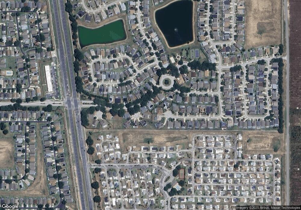
307 McFee Dr Davenport, FL 33897
Westside NeighborhoodEstimated Value: $467,638 - $517,000
5
Beds
4
Baths
2,974
Sq Ft
$166/Sq Ft
Est. Value
About This Home
This home is located at 307 McFee Dr, Davenport, FL 33897 and is currently estimated at $494,910, approximately $166 per square foot. 307 McFee Dr is a home located in Polk County with nearby schools including Citrus Ridge Academy: a Civics Academy, Davenport School Of The Arts, and Dundee Elementary Academy.
Ownership History
Date
Name
Owned For
Owner Type
Purchase Details
Closed on
Sep 29, 2009
Sold by
Greatorex Stephen
Bought by
Buggiani Frank and Buggiani Sandra
Current Estimated Value
Home Financials for this Owner
Home Financials are based on the most recent Mortgage that was taken out on this home.
Original Mortgage
$172,500
Outstanding Balance
$112,467
Interest Rate
5.05%
Estimated Equity
$382,443
Purchase Details
Closed on
Nov 15, 1999
Sold by
Centex Homes
Bought by
Greatorex Stephen
Create a Home Valuation Report for This Property
The Home Valuation Report is an in-depth analysis detailing your home's value as well as a comparison with similar homes in the area
Home Values in the Area
Average Home Value in this Area
Purchase History
| Date | Buyer | Sale Price | Title Company |
|---|---|---|---|
| Buggiani Frank | $230,000 | Brokers Title Of Central Flo | |
| Greatorex Stephen | $213,000 | -- |
Source: Public Records
Mortgage History
| Date | Status | Borrower | Loan Amount |
|---|---|---|---|
| Open | Buggiani Frank | $172,500 |
Source: Public Records
Tax History Compared to Growth
Tax History
| Year | Tax Paid | Tax Assessment Tax Assessment Total Assessment is a certain percentage of the fair market value that is determined by local assessors to be the total taxable value of land and additions on the property. | Land | Improvement |
|---|---|---|---|---|
| 2025 | $3,537 | $272,901 | -- | -- |
| 2024 | $3,333 | $265,210 | -- | -- |
| 2023 | $3,333 | $257,485 | $0 | $0 |
| 2022 | $3,240 | $249,985 | $0 | $0 |
| 2021 | $3,265 | $242,704 | $0 | $0 |
| 2020 | $3,222 | $239,353 | $0 | $0 |
| 2018 | $3,154 | $229,609 | $0 | $0 |
| 2017 | $3,076 | $224,886 | $0 | $0 |
| 2016 | $3,486 | $212,211 | $0 | $0 |
| 2015 | $3,135 | $206,916 | $0 | $0 |
| 2014 | $3,118 | $192,826 | $0 | $0 |
Source: Public Records
Map
Nearby Homes
- 419 McFee Dr
- 302 Julliard Blvd
- 214 Key Largo Ave Unit 23
- 252 Julliard Blvd
- 133 Royal Palm St
- 244 Ballyshannon Dr
- 550 Queen Palm Dr
- 154 Coconut St
- 529 Key Biscayne Ave
- 219 Key Largo Ave
- 645 Tropical Ave
- 408 Bloomingdale Dr
- 508 Key Ave W Unit 118
- 211 Lockbreeze Dr
- 506 Saint Augustine Ave
- 114 Castlemain Cir
- 311 Saint Augustine Ave
- 200 Lockbreeze Dr
- 104 Langham Dr
- 114 Langham Dr
- 317 McFee Dr
- 102 Ivy Brook Ct
- 109 Ballyshannon Dr
- 112 Ivy Brook Ct
- 108 Ballyshannon Dr
- 220 McFee Dr
- 306 McFee Dr
- 119 Ballyshannon Dr
- 316 McFee Dr
- 210 McFee Dr
- 122 Ivy Brook Ct
- 118 Ballyshannon Dr
- 407 Julliard Blvd
- 123 Ivy Brook Ct
- 129 Ballyshannon Dr
- 200 McFee Dr
- 227 Bailey Cir
- 217 Bailey Cir
- 103 Ivy Brook Ct
