307 Persons Rd Cedartown, GA 30125
Estimated Value: $57,000 - $286,000
3
Beds
2
Baths
1,809
Sq Ft
$76/Sq Ft
Est. Value
About This Home
This home is located at 307 Persons Rd, Cedartown, GA 30125 and is currently estimated at $137,843, approximately $76 per square foot. 307 Persons Rd is a home with nearby schools including Cedar Christian School.
Ownership History
Date
Name
Owned For
Owner Type
Purchase Details
Closed on
Jun 29, 2021
Sold by
Stephens Robert A
Bought by
Johnson Jeremiah and Johnson Daniela
Current Estimated Value
Purchase Details
Closed on
Aug 15, 2002
Sold by
Rogers Barry D
Bought by
Stephens Robert and Stephens Marie
Purchase Details
Closed on
Jul 5, 2001
Sold by
Rogers James E and Christie Rogers
Bought by
Rogers Barry D
Purchase Details
Closed on
Aug 30, 1995
Sold by
Rogers James E
Bought by
Rogers James E and Rogers Christie T
Purchase Details
Closed on
May 1, 1995
Sold by
Prewett Gerald
Bought by
Rogers James E
Purchase Details
Closed on
Apr 28, 1995
Sold by
Carnes Mavor Jean and Carnes
Bought by
Prewett Gerald
Create a Home Valuation Report for This Property
The Home Valuation Report is an in-depth analysis detailing your home's value as well as a comparison with similar homes in the area
Home Values in the Area
Average Home Value in this Area
Purchase History
| Date | Buyer | Sale Price | Title Company |
|---|---|---|---|
| Johnson Jeremiah | $40,000 | -- | |
| Stephens Robert | $75,100 | -- | |
| Rogers Barry D | -- | -- | |
| Rogers Barry D | $52,000 | -- | |
| Rogers James E | -- | -- | |
| Rogers James E | $11,000 | -- | |
| Prewett Gerald | $65,900 | -- |
Source: Public Records
Tax History Compared to Growth
Tax History
| Year | Tax Paid | Tax Assessment Tax Assessment Total Assessment is a certain percentage of the fair market value that is determined by local assessors to be the total taxable value of land and additions on the property. | Land | Improvement |
|---|---|---|---|---|
| 2024 | $313 | $14,982 | $13,982 | $1,000 |
| 2023 | $356 | $14,982 | $13,982 | $1,000 |
| 2022 | $245 | $10,321 | $9,321 | $1,000 |
| 2021 | $463 | $21,240 | $9,321 | $11,919 |
| 2020 | $463 | $21,240 | $9,321 | $11,919 |
| 2019 | $600 | $24,333 | $9,321 | $15,012 |
| 2018 | $615 | $24,333 | $9,321 | $15,012 |
| 2017 | $608 | $24,333 | $9,321 | $15,012 |
| 2016 | $769 | $30,248 | $15,236 | $15,012 |
| 2015 | $771 | $30,248 | $15,236 | $15,012 |
| 2014 | $786 | $30,573 | $15,236 | $15,337 |
Source: Public Records
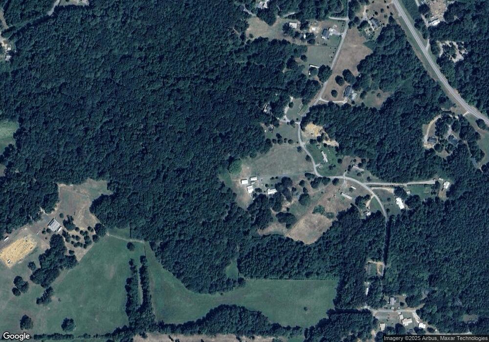
Map
Nearby Homes
- 0 Mountain Home Rd Unit 1020-C 10351948
- 0 Mountain Home Rd Unit 1020-B 10351940
- 0 Mountain Home Rd Unit 1020-A 10351930
- 151 Friendship Rd
- 119 New Harmony Rd
- 1849 Prior Station Rd Unit 76 ACRES
- 1849 Prior Station Rd
- 255 Reynolds Rd
- 35 Harris Loop
- 382 5th St
- 293 4th St
- 516 Branch St
- 512 Branch St
- 508 Branch St
- 28 Summerwind Dr
- 39 Summerwind Dr
- 0 Cornelius Rd Unit 7646589
- 1200 N Cave Spring St
- 309 Walnut St
- 273 Persons Rd
- 311 Persons Rd
- 347 Persons Rd
- 224 Persons Rd
- 357 Persons Rd
- 0 Persons Rd Unit 7117249
- 0 Persons Rd Unit 8464429
- 0 Persons Rd Unit 7397502
- 0 Persons Rd Unit 7328043
- 0 Persons Rd
- 367 Persons Rd
- 334 Persons Rd
- 569 Mountain Home Rd
- 559 Mountain Home Rd
- 647 Mountain Home Rd
- 185 Edwards Rd
- 166 Persons Rd
- 496 Dry Creek Rd
- 150 Persons Rd
- 377 Persons Rd