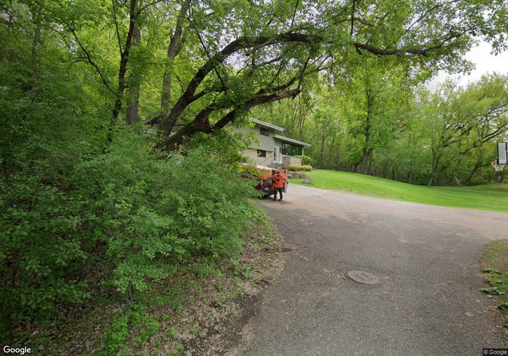
3070 Mccarthy Ridge Saint Paul, MN 55121
Estimated Value: $517,000 - $615,882
4
Beds
4
Baths
1,809
Sq Ft
$315/Sq Ft
Est. Value
About This Home
This home is located at 3070 Mccarthy Ridge, Saint Paul, MN 55121 and is currently estimated at $568,971, approximately $314 per square foot. 3070 Mccarthy Ridge is a home located in Dakota County with nearby schools including Pilot Knob STEM Magnet School, Friendly Hills Middle School, and Two Rivers High School.
Ownership History
Date
Name
Owned For
Owner Type
Purchase Details
Closed on
Aug 10, 2017
Sold by
Hill Megan N and Hill Benjamin J
Bought by
Keane Neil P and Keane Sara C
Current Estimated Value
Home Financials for this Owner
Home Financials are based on the most recent Mortgage that was taken out on this home.
Original Mortgage
$400,000
Outstanding Balance
$333,046
Interest Rate
3.88%
Mortgage Type
New Conventional
Estimated Equity
$235,925
Purchase Details
Closed on
May 26, 2015
Sold by
Theis Jeffrey G and Theis Carrie E
Bought by
Hill Megan N and Hill Benjamin J
Home Financials for this Owner
Home Financials are based on the most recent Mortgage that was taken out on this home.
Original Mortgage
$384,750
Interest Rate
3.64%
Mortgage Type
New Conventional
Purchase Details
Closed on
Aug 15, 2001
Sold by
Estate Of Marian Daheny
Bought by
Theis Jeffrey G and Theis Carrie E
Create a Home Valuation Report for This Property
The Home Valuation Report is an in-depth analysis detailing your home's value as well as a comparison with similar homes in the area
Home Values in the Area
Average Home Value in this Area
Purchase History
| Date | Buyer | Sale Price | Title Company |
|---|---|---|---|
| Keane Neil P | $500,000 | Edgewater Title Group Llc | |
| Hill Megan N | $405,000 | Home Title | |
| Theis Jeffrey G | $229,500 | -- |
Source: Public Records
Mortgage History
| Date | Status | Borrower | Loan Amount |
|---|---|---|---|
| Open | Keane Neil P | $400,000 | |
| Previous Owner | Hill Megan N | $384,750 |
Source: Public Records
Tax History Compared to Growth
Tax History
| Year | Tax Paid | Tax Assessment Tax Assessment Total Assessment is a certain percentage of the fair market value that is determined by local assessors to be the total taxable value of land and additions on the property. | Land | Improvement |
|---|---|---|---|---|
| 2024 | $4,908 | $559,100 | $186,800 | $372,300 |
| 2023 | $4,908 | $541,300 | $187,400 | $353,900 |
| 2022 | $4,112 | $514,700 | $186,900 | $327,800 |
| 2021 | $4,034 | $430,100 | $162,500 | $267,600 |
| 2020 | $4,046 | $408,600 | $154,800 | $253,800 |
| 2019 | $4,287 | $397,000 | $147,400 | $249,600 |
| 2018 | $3,658 | $402,300 | $140,400 | $261,900 |
| 2017 | $3,848 | $351,600 | $133,800 | $217,800 |
| 2016 | $3,541 | $338,000 | $127,300 | $210,700 |
| 2015 | $3,488 | $315,920 | $124,125 | $191,795 |
| 2014 | -- | $300,878 | $120,177 | $180,701 |
| 2013 | -- | $268,069 | $107,572 | $160,497 |
Source: Public Records
Map
Nearby Homes
- 1700 Four Oaks Rd Unit 226B
- 1700 Four Oaks Rd Unit 118
- 1700 Four Oaks Rd Unit 314B
- 1603 Raindrop Dr
- 3243 Evergreen Dr
- 3259 Valley Ridge Dr Unit 10
- 3268 Valley Ridge Dr Unit 37
- 3296 Hill Ridge Dr Unit 58
- 2850 Bridgeview Terrace
- 3063 Timberwood Trail Unit 41
- 3082 Timberwood Trail Unit 34
- 3050 Shields Dr Unit 103
- 1654 Hunt Dr
- 1650 Hunt Dr
- 2865 Pilot Knob Rd
- 3158 Quarry Ct
- 1360 Lone Oak Rd
- 1544 Greenwood Ct N
- 3419 Highlander Dr
- 3470 Greenwood Ct S
- 3040 Mccarthy Ridge
- 1590 Mccarthy Rd
- 3082 Sibley Memorial Hwy
- 1645 Four Oaks Rd
- 1635 Four Oaks Rd
- 3116 Farnum Dr Unit B
- 3116 Farnum Dr Unit A
- 3118 Farnum Dr Unit A
- 3118 Farnum Dr Unit B
- 3118 Farnum Dr
- 1595 Mccarthy Rd
- 1601 Mccarthy Rd
- 1589 Mccarthy Rd
- 1580 Mccarthy Rd
- 1566 Red Cedar Rd
- 3116 3116 Farnum
- 3114 Farnum Dr Unit A
- 3114 Farnum Dr Unit B
- 3114 Farnum Dr
- 3114 3114 Farnum Dr