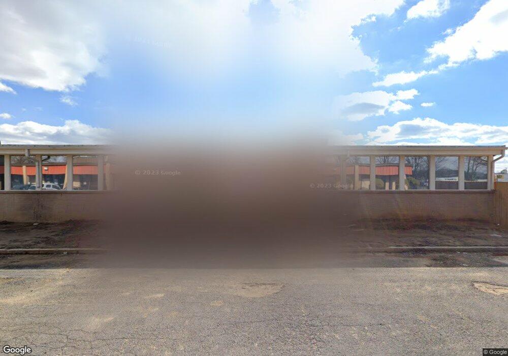
3071 Directors Row Memphis, TN 38131
Parkway Village NeighborhoodEstimated Value: $207,639
--
Bed
--
Bath
6,720
Sq Ft
$31/Sq Ft
Est. Value
About This Home
This home is located at 3071 Directors Row, Memphis, TN 38131 and is currently estimated at $207,639, approximately $30 per square foot. 3071 Directors Row is a home located in Shelby County with nearby schools including Winchester Elementary School, A. Maceo Walker Middle School, and Freedom Preparatory Academy Elementary School.
Ownership History
Date
Name
Owned For
Owner Type
Purchase Details
Closed on
Nov 10, 2021
Sold by
Investments & Development Inc
Bought by
Tboc Ministries Inc
Current Estimated Value
Home Financials for this Owner
Home Financials are based on the most recent Mortgage that was taken out on this home.
Original Mortgage
$200,000
Outstanding Balance
$183,265
Interest Rate
2.99%
Mortgage Type
Future Advance Clause Open End Mortgage
Estimated Equity
$24,374
Purchase Details
Closed on
Dec 28, 2009
Sold by
Benchmark Development Company Inc
Bought by
Investments & Development Inc
Home Financials for this Owner
Home Financials are based on the most recent Mortgage that was taken out on this home.
Original Mortgage
$78,658
Interest Rate
4.75%
Mortgage Type
Commercial
Create a Home Valuation Report for This Property
The Home Valuation Report is an in-depth analysis detailing your home's value as well as a comparison with similar homes in the area
Home Values in the Area
Average Home Value in this Area
Purchase History
| Date | Buyer | Sale Price | Title Company |
|---|---|---|---|
| Tboc Ministries Inc | $230,000 | None Available | |
| Investments & Development Inc | $90,750 | Shaw Title & Closing Service |
Source: Public Records
Mortgage History
| Date | Status | Borrower | Loan Amount |
|---|---|---|---|
| Open | Tboc Ministries Inc | $200,000 | |
| Previous Owner | Investments & Development Inc | $78,658 |
Source: Public Records
Tax History Compared to Growth
Tax History
| Year | Tax Paid | Tax Assessment Tax Assessment Total Assessment is a certain percentage of the fair market value that is determined by local assessors to be the total taxable value of land and additions on the property. | Land | Improvement |
|---|---|---|---|---|
| 2025 | -- | -- | -- | -- |
| 2024 | -- | -- | -- | -- |
| 2022 | $2,485 | $40,800 | $23,960 | $16,840 |
| 2021 | $2,954 | $40,800 | $23,960 | $16,840 |
| 2020 | $2,782 | $38,400 | $23,960 | $14,440 |
| 2019 | $1,227 | $38,400 | $23,960 | $14,440 |
| 2018 | $1,227 | $38,400 | $23,960 | $14,440 |
| 2017 | $1,256 | $38,400 | $23,960 | $14,440 |
| 2016 | $1,585 | $36,280 | $0 | $0 |
| 2014 | $1,585 | $36,280 | $0 | $0 |
Source: Public Records
Map
Nearby Homes
- 3065 Childress Rd
- 3061 Childress Rd
- 3055 Childress Rd
- 3051 Childress Rd
- 2944 Millbranch Rd
- 2528 Sherrie St
- 1791 E Alcy Rd
- 2416 Verdun St
- 2196 Ketchum Rd
- 2410 W Hollyford Rd
- 2442 Manchester Rd
- 1950 Victoria Ave
- 2428 Rozelle St
- 2381 Lindbergh Rd
- 2601 Darlene St
- 3687 Windcrest Rd
- 1473 Carlton Rd
- 2386 Bridgeport Dr
- 1490 Lockhaven Ave
- 2436 Sparks St
- 3121 Directors Row
- 2949 Airways Blvd
- 2949 Airways Blvd
- 2018 E Brooks Rd
- 2135 Democrat Rd
- 2031 E Brooks Rd
- 2015 E Brooks Rd
- 3254 Winbrook Dr
- 3301 Winbrook Dr
- 2929 Convair Rd
- 2901 Convair Rd
- 3349 Winbrook Dr
- 3385 Airways Blvd
- 1942 Lynnbrook Place
- 1938 Lynnbrook Place
- 2080 Winchester Rd
- 1741 E Brooks Rd
- 1910 Lynnbrook Place
- 3388 Cazassa Rd
- 1943 Lynnbrook Place
