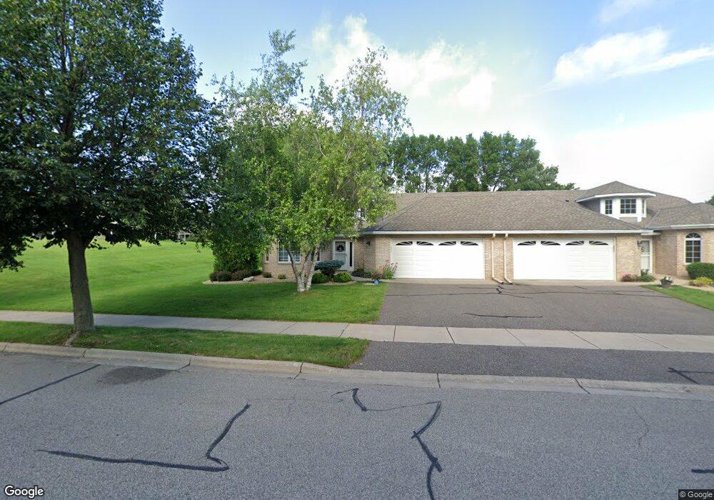
3076 Highpointe Curve Saint Paul, MN 55113
South Owasso NeighborhoodEstimated Value: $446,072 - $507,000
2
Beds
2
Baths
1,729
Sq Ft
$276/Sq Ft
Est. Value
About This Home
This home is located at 3076 Highpointe Curve, Saint Paul, MN 55113 and is currently estimated at $477,268, approximately $276 per square foot. 3076 Highpointe Curve is a home located in Ramsey County with nearby schools including Central Park Elementary School, Roseville Area Middle School, and Roseville Area Senior High School.
Ownership History
Date
Name
Owned For
Owner Type
Purchase Details
Closed on
Nov 15, 2018
Sold by
Lens Gayle E and Buskin Mary Kay
Bought by
Gayle Elizabeth Lens Revocable Trust
Current Estimated Value
Purchase Details
Closed on
Jul 10, 2018
Sold by
Menzhuber Joseph D
Bought by
Lens Gayle E and Buskin Mary Kay
Purchase Details
Closed on
Jan 3, 1996
Sold by
Harstad Homes Inc
Bought by
Bloes James G
Create a Home Valuation Report for This Property
The Home Valuation Report is an in-depth analysis detailing your home's value as well as a comparison with similar homes in the area
Home Values in the Area
Average Home Value in this Area
Purchase History
| Date | Buyer | Sale Price | Title Company |
|---|---|---|---|
| Gayle Elizabeth Lens Revocable Trust | -- | Lawyers Title | |
| Lens Gayle E | $142,500 | None Available | |
| Lens Gayle E | $237,500 | Burnet Title | |
| Bloes James G | $191,825 | -- | |
| Harstad Homes Inc | $53,900 | -- |
Source: Public Records
Tax History Compared to Growth
Tax History
| Year | Tax Paid | Tax Assessment Tax Assessment Total Assessment is a certain percentage of the fair market value that is determined by local assessors to be the total taxable value of land and additions on the property. | Land | Improvement |
|---|---|---|---|---|
| 2025 | $5,884 | $434,400 | $100,000 | $334,400 |
| 2023 | $5,884 | $415,900 | $100,000 | $315,900 |
| 2022 | $5,216 | $392,600 | $100,000 | $292,600 |
| 2021 | $5,190 | $349,200 | $100,000 | $249,200 |
| 2020 | $5,026 | $369,300 | $100,000 | $269,300 |
| 2019 | $4,902 | $337,600 | $56,000 | $281,600 |
| 2018 | $4,318 | $321,500 | $56,000 | $265,500 |
| 2017 | $3,692 | $279,600 | $56,000 | $223,600 |
| 2016 | $3,872 | $0 | $0 | $0 |
| 2015 | $3,868 | $264,200 | $56,000 | $208,200 |
| 2014 | $3,634 | $0 | $0 | $0 |
Source: Public Records
Map
Nearby Homes
- 2970 Western Ave N
- 405 Judith Ave
- 2841 Galtier St
- 2814 Matilda St
- 2821 Galtier St
- 387 Iona Ln
- 2802 Marion St
- 417 W Horseshoe Dr
- 2720 MacKubin St
- 540 Woodhill Dr Unit 71
- 2687 Galtier St
- 2730 Dale St N Unit D101
- 2720 Dale St N Unit C208
- 2710 Dale St N Unit B212
- 2939 W Owasso Blvd
- 556 County Road C W
- 3318 W Owasso Blvd
- 667 County Road C W
- 3399 Kent St Unit 211
- 3163 Christopher Ln
- 3074 Highpointe Curve
- 0 Unassigned
- 0 Unassigned
- 3081 Highpointe Curve
- 3075 Highpointe Curve
- 3022 Highpointe Curve
- 3073 Highpointe Curve
- 3083 Highpointe Curve
- 3020 Highpointe Curve
- 3026 Highpointe Curve
- 2984 Highcourte
- 3069 Highpointe Curve
- 2982 Highcourte
- 3028 Highpointe Curve
- 3014 Highpointe Curve
- 3067 Highpointe Curve
- 2988 Highcourte
- 2990 Highcourte
- 2978 Highcourte
- 3002 Highpointe Curve