Estimated Value: $145,888 - $228,000
Studio
--
Bath
1,384
Sq Ft
$134/Sq Ft
Est. Value
About This Home
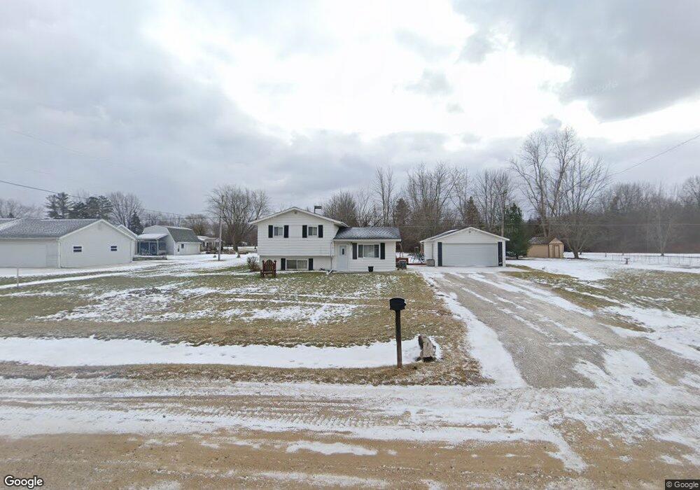
This home is located at 3077 W Maple Ave, Flint, MI 48507 and is currently estimated at $185,472, approximately $134 per square foot. 3077 W Maple Ave is a home located in Genesee County with nearby schools including Carman-Ainsworth High School, Madison Academy - Elementary School, and Discovery Montessori.
Ownership History
Date
Name
Owned For
Owner Type
Purchase Details
Closed on
Oct 29, 2024
Sold by
Porritt Judith Ann and Porritt Gary Lee
Bought by
Porritt Judith Ann and Weiss Sherry Ann
Current Estimated Value
Purchase Details
Closed on
Oct 15, 2018
Sold by
Jeffrey A Vsetula
Bought by
Hull Lance
Home Financials for this Owner
Home Financials are based on the most recent Mortgage that was taken out on this home.
Original Mortgage
$87,000
Interest Rate
4.9%
Purchase Details
Closed on
Jun 16, 2003
Sold by
Keller Harold L and Keller Daniele M
Bought by
Porritt Gary L and Porritt Judith A
Create a Home Valuation Report for This Property
The Home Valuation Report is an in-depth analysis detailing your home's value as well as a comparison with similar homes in the area
Home Values in the Area
Average Home Value in this Area
Purchase History
| Date | Buyer | Sale Price | Title Company |
|---|---|---|---|
| Porritt Judith Ann | -- | None Listed On Document | |
| Hull Lance | $85,000 | -- | |
| Porritt Gary L | -- | -- |
Source: Public Records
Mortgage History
| Date | Status | Borrower | Loan Amount |
|---|---|---|---|
| Previous Owner | Hull Lance | $87,000 | |
| Previous Owner | Hull Lance | -- |
Source: Public Records
Tax History
| Year | Tax Paid | Tax Assessment Tax Assessment Total Assessment is a certain percentage of the fair market value that is determined by local assessors to be the total taxable value of land and additions on the property. | Land | Improvement |
|---|---|---|---|---|
| 2025 | $1,815 | $68,400 | $0 | $0 |
| 2024 | $979 | $64,200 | $0 | $0 |
| 2023 | $934 | $58,000 | $0 | $0 |
| 2022 | $1,575 | $53,100 | $0 | $0 |
| 2021 | $1,552 | $50,500 | $0 | $0 |
| 2020 | $839 | $47,600 | $0 | $0 |
| 2019 | $827 | $45,300 | $0 | $0 |
| 2018 | $1,415 | $41,800 | $0 | $0 |
| 2017 | $1,361 | $41,300 | $0 | $0 |
| 2016 | $1,382 | $39,100 | $0 | $0 |
| 2015 | $1,208 | $37,300 | $0 | $0 |
| 2014 | $824 | $35,600 | $0 | $0 |
| 2012 | -- | $33,500 | $33,500 | $0 |
Source: Public Records
Map
Nearby Homes
- 2492 W Maple Ave
- 2051 W Maple Ave
- 5374 Torrey Rd
- 4462 Westmont Dr
- 5131 Gateway Centre Blvd
- 5366 van Slyke Rd
- 5141 W Bristol Rd
- 2502 Hutchinson Ln
- G4203 van Slyke Rd
- 6042 Birch Dr
- 1408 Williamsburg Rd
- 1151 Bristol Rd
- 4418 Ashlawn Dr
- 1508 W Bristol Rd
- 4444 Carmanwood Dr
- 4277 Ashlawn Dr
- 1256 W Rowland St
- 0 Taylor Dr Unit 50159493
- 6095 Weyerbacher Dr
- 1203 Pickwick Place
- 3101 W Maple Ave
- 3063 W Maple Ave
- 3109 W Maple Ave
- 5018 Mobile Dr
- 5032 Mobile Dr
- 3131 W Maple Ave
- 3131 W Maple Ave
- 3039 W Maple Ave
- 5025 Mobile Dr
- 5062 Mobile Dr
- 5035 Mobile Dr
- 5051 Mobile Dr
- 5072 Mobile Dr
- 5059 Mobile Dr
- 5012 Torrey Rd
- 5038 Torrey Rd
- 5082 Mobile Dr
- 5071 Mobile Dr
- 5081 Mobile Dr
- 5068 Torrey Rd