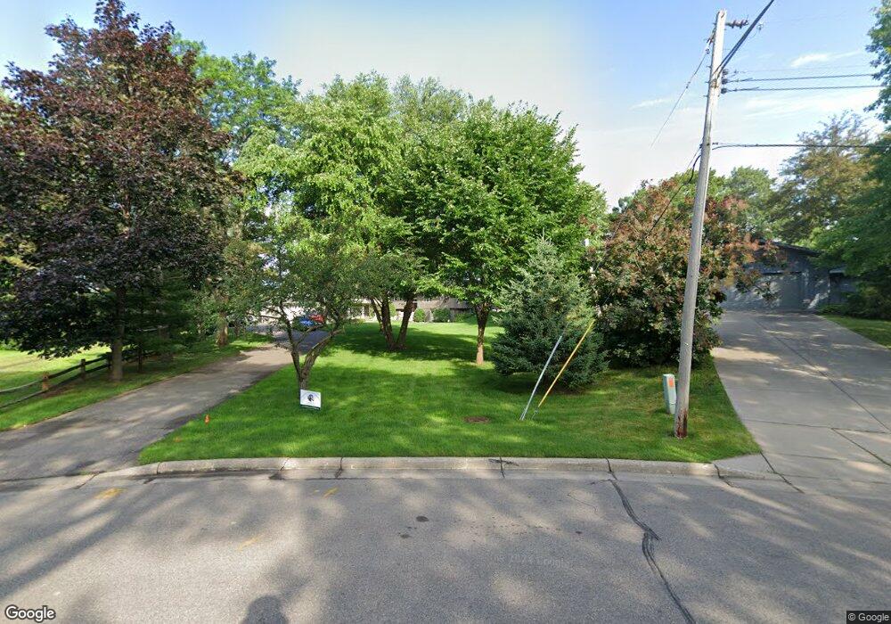
3079 Sandy Hook Dr Saint Paul, MN 55113
South Owasso NeighborhoodEstimated Value: $850,000 - $1,173,000
3
Beds
3
Baths
1,620
Sq Ft
$619/Sq Ft
Est. Value
About This Home
This home is located at 3079 Sandy Hook Dr, Saint Paul, MN 55113 and is currently estimated at $1,003,536, approximately $619 per square foot. 3079 Sandy Hook Dr is a home located in Ramsey County with nearby schools including Emmet D. Williams Elementary School, Roseville Area Middle School, and Roseville Area High School.
Ownership History
Date
Name
Owned For
Owner Type
Purchase Details
Closed on
Jan 23, 2006
Sold by
Kath Harry K and Kath Evelyn A
Bought by
Kath Joshua and Kath Valerie
Current Estimated Value
Purchase Details
Closed on
Mar 31, 2003
Sold by
Kath Harry K and Kath Evelyn A
Bought by
Kath Joshua and Kath Valerie
Create a Home Valuation Report for This Property
The Home Valuation Report is an in-depth analysis detailing your home's value as well as a comparison with similar homes in the area
Home Values in the Area
Average Home Value in this Area
Purchase History
| Date | Buyer | Sale Price | Title Company |
|---|---|---|---|
| Kath Joshua | $454,000 | -- | |
| Kath Joshua | $454,000 | -- |
Source: Public Records
Mortgage History
| Date | Status | Borrower | Loan Amount |
|---|---|---|---|
| Closed | Kath Joshua | -- |
Source: Public Records
Tax History
| Year | Tax Paid | Tax Assessment Tax Assessment Total Assessment is a certain percentage of the fair market value that is determined by local assessors to be the total taxable value of land and additions on the property. | Land | Improvement |
|---|---|---|---|---|
| 2025 | $12,606 | $1,065,700 | $467,600 | $598,100 |
| 2023 | $12,606 | $823,400 | $467,600 | $355,800 |
| 2022 | $13,718 | $893,400 | $467,600 | $425,800 |
| 2021 | $13,106 | $836,700 | $467,600 | $369,100 |
| 2020 | $12,564 | $847,200 | $467,600 | $379,600 |
| 2019 | $11,334 | $770,200 | $467,600 | $302,600 |
| 2018 | $10,906 | $687,400 | $467,600 | $219,800 |
| 2017 | $9,250 | $648,500 | $467,600 | $180,900 |
| 2016 | $10,056 | $0 | $0 | $0 |
| 2015 | $9,748 | $628,800 | $467,600 | $161,200 |
| 2014 | $10,198 | $0 | $0 | $0 |
Source: Public Records
Map
Nearby Homes
- 613 S Owasso Blvd W
- 479 Centennial Dr
- 340 S Owasso Blvd W
- 405 Judith Ave
- 3098 Victoria St N
- 3318 W Owasso Blvd
- 972 Lydia Dr W
- 953 Lydia Ave W
- 255 County Road C2 W
- 2870 Victoria St N
- 3399 Kent St Unit 211
- 2730 Dale St N Unit D309
- 2869 Victoria St N
- 2720 Dale St N Unit C114
- 2700 Dale St N Unit A214
- 3421 Kent St Unit 614
- 3421 Kent St Unit 607
- 3421 Kent St Unit 603
- 2972 Woodbridge St
- 2710 Dale St N Unit B307
- 3087 Sandy Hook Dr
- 511 Heinel Dr
- 3065 Sandy Hook Dr
- 3097 Sandy Hook Dr
- 3088 Sandy Hook Dr
- 513 Heinel Dr
- 3105 Sandy Hook Dr
- 3053 Sandy Hook Dr
- 3050 Sandy Hook Dr
- 515 Heinel Dr
- 3063 Little Bay Rd
- 3115 Sandy Hook Dr
- 505 Heinel Dr
- 3043 Sandy Hook Dr
- 3042 Sandy Hook Dr
- 3053 Little Bay Rd
- 517 Heinel Dr
- 3125 Sandy Hook Dr
- 3043 Little Bay Rd
- 519 Heinel Dr
Your Personal Tour Guide
Ask me questions while you tour the home.