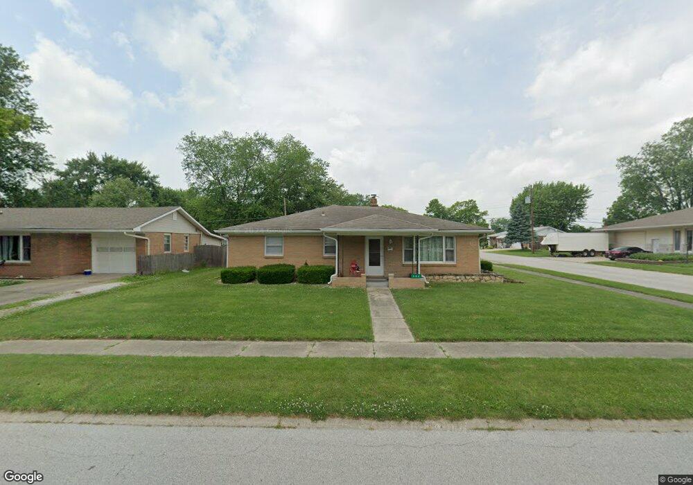
308 Brookside Ln Plainfield, IN 46168
Estimated Value: $227,000 - $287,000
4
Beds
2
Baths
1,834
Sq Ft
$142/Sq Ft
Est. Value
About This Home
This home is located at 308 Brookside Ln, Plainfield, IN 46168 and is currently estimated at $260,166, approximately $141 per square foot. 308 Brookside Ln is a home located in Hendricks County with nearby schools including Brentwood Elementary School, Plainfield Community Middle School, and Plainfield High School.
Ownership History
Date
Name
Owned For
Owner Type
Purchase Details
Closed on
Jan 19, 2017
Sold by
Hendricks County Sheriff
Bought by
Peterson Ronald G
Current Estimated Value
Purchase Details
Closed on
May 22, 2009
Sold by
Browning Roger and Shaw Browning Kathy
Bought by
Potter Barbara F
Home Financials for this Owner
Home Financials are based on the most recent Mortgage that was taken out on this home.
Original Mortgage
$132,554
Interest Rate
4.85%
Mortgage Type
FHA
Purchase Details
Closed on
Jan 24, 2005
Sold by
Vogel Jimmie Lee and Trumbo Debra Kay
Bought by
Browning Roger and Shaw Browning Kathy
Home Financials for this Owner
Home Financials are based on the most recent Mortgage that was taken out on this home.
Original Mortgage
$100,000
Interest Rate
5.79%
Mortgage Type
New Conventional
Create a Home Valuation Report for This Property
The Home Valuation Report is an in-depth analysis detailing your home's value as well as a comparison with similar homes in the area
Home Values in the Area
Average Home Value in this Area
Purchase History
| Date | Buyer | Sale Price | Title Company |
|---|---|---|---|
| Peterson Ronald G | $90,500 | -- | |
| Potter Barbara F | -- | None Available | |
| Browning Roger | -- | None Available |
Source: Public Records
Mortgage History
| Date | Status | Borrower | Loan Amount |
|---|---|---|---|
| Previous Owner | Potter Barbara F | $132,554 | |
| Previous Owner | Browning Roger | $100,000 |
Source: Public Records
Tax History
| Year | Tax Paid | Tax Assessment Tax Assessment Total Assessment is a certain percentage of the fair market value that is determined by local assessors to be the total taxable value of land and additions on the property. | Land | Improvement |
|---|---|---|---|---|
| 2025 | $4,096 | $214,100 | $55,000 | $159,100 |
| 2024 | $4,096 | $211,200 | $26,600 | $184,600 |
| 2023 | $4,008 | $201,100 | $25,300 | $175,800 |
| 2022 | $3,828 | $191,400 | $24,100 | $167,300 |
| 2021 | $3,320 | $166,000 | $22,500 | $143,500 |
| 2020 | $3,328 | $166,400 | $22,500 | $143,900 |
| 2019 | $3,182 | $159,100 | $21,100 | $138,000 |
| 2018 | $3,112 | $155,600 | $21,100 | $134,500 |
| 2017 | $1,164 | $136,200 | $21,400 | $114,800 |
| 2016 | $1,087 | $130,700 | $21,400 | $109,300 |
| 2014 | $1,083 | $128,000 | $20,800 | $107,200 |
Source: Public Records
Map
Nearby Homes
- 324 Lawndale Dr
- 407 Dunn St
- 1713 Sycamore Dr
- 1710 Beechwood Dr
- 408 Linden Ln
- 2668 Marjorie Ln
- 504 Magnolia Dr
- 800 Walton Dr
- 1429 Blackthorne Trail N
- 980 Andico Rd
- 228 Shaw St
- 2644 Prism Way
- 2654 Prism Way
- 2674 Prism Way
- 2686 Prism Way
- 9086 Anthem Ave
- 303 Green St
- 911 Gary Dr
- 329 Avon Ave
- 446 Breakwater Dr
- 312 Brookside Ln
- 1442 Aubert St
- 316 Brookside Ln
- 305 Southmore St
- 313 Southmore St
- 1527 Aubert St
- 211 Southmore St
- 222 Brookside Ln
- 317 Southmore St
- 320 Brookside Ln
- 223 Brookside Ln
- 317 Brookside Ln
- 207 Southmore St
- 321 Southmore St
- 218 Brookside Ln
- 219 Brookside Ln
- 324 Brookside Ln
- 323 Brookside Ln
- 325 Southmore St
Your Personal Tour Guide
Ask me questions while you tour the home.