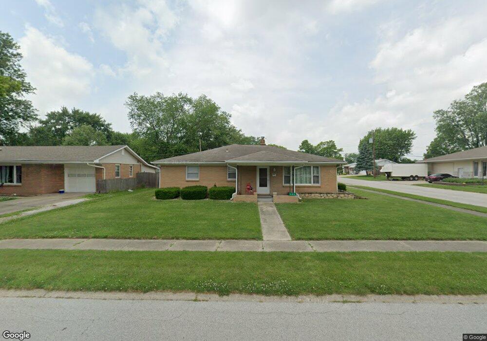
308 Brookside Ln Plainfield, IN 46168
Plainfield AreaEstimated Value: $236,000 - $288,000
About This Home
This home is located at 308 Brookside Ln, Plainfield, IN 46168 and is currently estimated at $263,683, approximately $143 per square foot. 308 Brookside Ln is a home located in Hendricks County with nearby schools including Brentwood Elementary School, Plainfield Community Middle School, and Plainfield High School.
Ownership History
We collect this data history from publicly available records. To have your information removed, we recommend requesting removal directly through your county’s website.
Purchase Details
Purchase Details
Home Financials for this Owner
Home Financials are based on the most recent Mortgage that was taken out on this home.Purchase Details
Home Financials for this Owner
Home Financials are based on the most recent Mortgage that was taken out on this home.Home Values in the Area
Average Home Value in this Area
Purchase History
We collect this data history from publicly available records. To have your information removed, we recommend requesting removal directly through your county’s website.
| Date | Buyer | Sale Price | Title Company |
|---|---|---|---|
| $90,500 | -- | ||
| -- | None Available | ||
| -- | None Available |
Mortgage History
We collect this data history from publicly available records. To have your information removed, we recommend requesting removal directly through your county’s website.
| Date | Status | Borrower | Loan Amount |
|---|---|---|---|
| Previous Owner | $10,325 | ||
| Previous Owner | $132,554 | ||
| Previous Owner | $100,000 |
Tax History
We collect this data history from publicly available records. To have your information removed, we recommend requesting removal directly through your county’s website.
| Year | Tax Paid | Tax Assessment Tax Assessment Total Assessment is a certain percentage of the fair market value that is determined by local assessors to be the total taxable value of land and additions on the property. | Land | Improvement |
|---|---|---|---|---|
| 2025 | $3,815 | $214,100 | $55,000 | $159,100 |
| 2024 | $4,096 | $211,200 | $26,600 | $184,600 |
| 2023 | $4,008 | $201,100 | $25,300 | $175,800 |
| 2022 | $3,828 | $191,400 | $24,100 | $167,300 |
| 2021 | $3,320 | $166,000 | $22,500 | $143,500 |
| 2020 | $3,328 | $166,400 | $22,500 | $143,900 |
| 2019 | $3,182 | $159,100 | $21,100 | $138,000 |
| 2018 | $3,112 | $155,600 | $21,100 | $134,500 |
| 2017 | $1,164 | $136,200 | $21,400 | $114,800 |
| 2016 | $1,087 | $130,700 | $21,400 | $109,300 |
| 2014 | $1,083 | $128,000 | $20,800 | $107,200 |
Map
- 214 Wayside Dr
- 540 Wayside Ct
- 540 Wayside Ct
- 518 Kentucky Ave
- 312 S Carr Rd
- 615 Simmons St
- 1645 Sycamore Dr
- 633 Kentucky Ave
- 14 Glenda Dr
- 906 Harlan St
- 16 Glenda Dr
- 2668 Marjorie Ln
- 416 Linden Ln
- 501 Duffey St
- 649 Elm Dr
- 451 Hickory Ln
- 504 Magnolia Dr
- 1935 Gladden Rd
- 1160 Thistlewood Way
- 1153 Blackthorne Trail
- 316 Brookside Ln
- 312 Brookside Ln
- 320 Brookside Ln
- 324 Brookside Ln
- 317 Southmore St
- 321 Southmore St
- 313 Southmore St
- 317 Brookside Ln
- 325 Southmore St
- 323 Brookside Ln
- 305 Southmore St
- 328 Brookside Ln
- 1527 Aubert St
- 329 Southmore St
- 327 Brookside Ln
- 1442 Aubert St
- 332 Brookside Ln
- 211 Southmore St
- 333 Southmore St
- 223 Brookside Ln
Ask me questions while you tour the home.