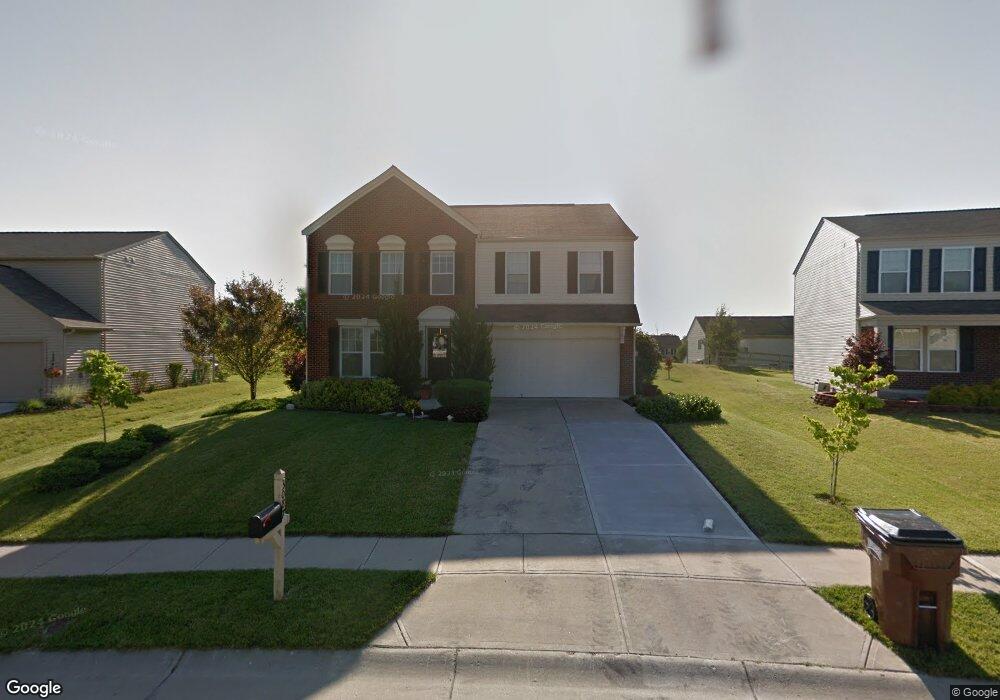
3087 Bruces Trail Unit 16 Independence, KY 41051
Estimated Value: $349,401 - $378,000
4
Beds
3
Baths
2,480
Sq Ft
$149/Sq Ft
Est. Value
About This Home
This home is located at 3087 Bruces Trail Unit 16, Independence, KY 41051 and is currently estimated at $369,600, approximately $149 per square foot. 3087 Bruces Trail Unit 16 is a home located in Kenton County with nearby schools including Taylor Mill Elementary School, Woodland Middle School, and Scott High School.
Ownership History
Date
Name
Owned For
Owner Type
Purchase Details
Closed on
Jun 25, 2008
Sold by
Maple Street Homes Llc
Bought by
Wade Robert and Wade Lorraine
Current Estimated Value
Home Financials for this Owner
Home Financials are based on the most recent Mortgage that was taken out on this home.
Original Mortgage
$192,280
Outstanding Balance
$125,297
Interest Rate
6.27%
Mortgage Type
FHA
Estimated Equity
$244,303
Purchase Details
Closed on
Sep 26, 2005
Sold by
Grand Communities Ltd Inc
Bought by
Maple Street Homes Llc
Create a Home Valuation Report for This Property
The Home Valuation Report is an in-depth analysis detailing your home's value as well as a comparison with similar homes in the area
Home Values in the Area
Average Home Value in this Area
Purchase History
| Date | Buyer | Sale Price | Title Company |
|---|---|---|---|
| Wade Robert | $193,800 | Homestead Title Agency Ltd | |
| Maple Street Homes Llc | $88,960 | -- |
Source: Public Records
Mortgage History
| Date | Status | Borrower | Loan Amount |
|---|---|---|---|
| Open | Wade Robert | $192,280 |
Source: Public Records
Tax History Compared to Growth
Tax History
| Year | Tax Paid | Tax Assessment Tax Assessment Total Assessment is a certain percentage of the fair market value that is determined by local assessors to be the total taxable value of land and additions on the property. | Land | Improvement |
|---|---|---|---|---|
| 2024 | $2,860 | $233,500 | $35,000 | $198,500 |
| 2023 | $2,947 | $233,500 | $35,000 | $198,500 |
| 2022 | $3,004 | $233,500 | $35,000 | $198,500 |
| 2021 | $3,049 | $233,500 | $35,000 | $198,500 |
| 2020 | $2,596 | $193,800 | $30,000 | $163,800 |
| 2019 | $2,091 | $193,800 | $30,000 | $163,800 |
| 2018 | $2,124 | $193,800 | $30,000 | $163,800 |
| 2017 | $2,066 | $193,800 | $30,000 | $163,800 |
| 2015 | $2,473 | $193,800 | $29,700 | $164,100 |
| 2014 | $2,439 | $193,800 | $29,700 | $164,100 |
Source: Public Records
Map
Nearby Homes
- 3068 Saddlebred Ct
- 3327 Summitrun Dr
- 3146 Meadoway Ct
- 3140 Summitrun Dr
- 3088 Summitrun Dr
- 1477 Hands Pike
- 6256 Woodsgrove Ct
- 907 Stablewatch Dr
- 951 Stablewatch Dr
- 6269 Streamside Dr
- 6339 Arabian Dr
- 6212 Streamside Dr
- 143 Tando Way
- 6388 Alexandra Ct
- 964 Stablewatch Dr
- 690 Rusconi Dr
- 489 Elm Rd
- 6416 Arabian Dr
- Somerset Plan at Hickory Valley
- Avalon Plan at Hickory Valley
- 3087 Bruces Trail
- 3091 Bruces Trail
- 3091 Bruces Trail Unit 17
- 3083 Bruces Trail
- 3039 Saddlebred Ct
- 3043 Saddlebred Ct
- 3043 Saddlebred Ct Unit 67
- 3079 Bruces Trail
- 9618 Cloveridge Dr
- 3035 Saddlebred Ct
- 3035 Saddlebred Ct Unit 65
- 3088 Bruces Trail
- 9622 Cloveridge Dr
- 3084 Bruces Trail
- 3047 Saddlebred Ct
- 3092 Bruces Trail
- 9626 Cloveridge Dr
- 3096 Bruces Trail
- 3080 Bruces Trail
- 3051 Saddlebred Ct