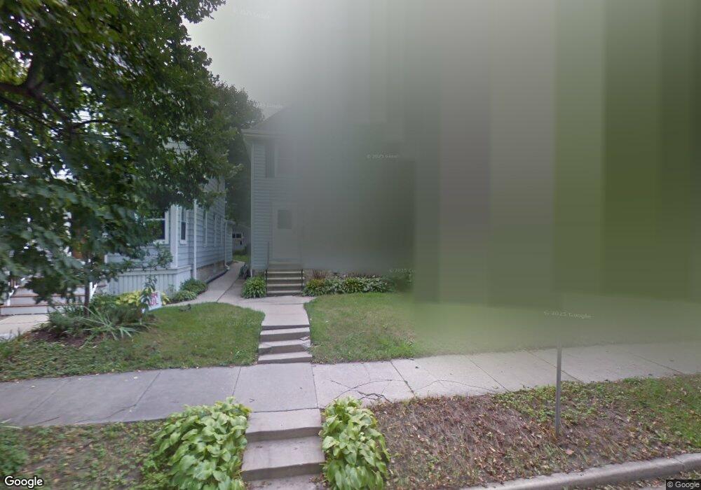
309 Mccall St Waukesha, WI 53186
Estimated Value: $254,367 - $291,000
3
Beds
1
Bath
1,168
Sq Ft
$231/Sq Ft
Est. Value
About This Home
This home is located at 309 Mccall St, Waukesha, WI 53186 and is currently estimated at $269,592, approximately $230 per square foot. 309 Mccall St is a home located in Waukesha County with nearby schools including Hadfield Elementary School, Les Paul Middle School - Central Campus, and South High School.
Ownership History
Date
Name
Owned For
Owner Type
Purchase Details
Closed on
Jul 31, 2001
Sold by
Wood Carolyn J
Bought by
Johnston Michael and Johnston Melissa L
Current Estimated Value
Purchase Details
Closed on
May 12, 2000
Sold by
Weber Joshua M and Weber Julie L
Bought by
Wood Carolyn J
Home Financials for this Owner
Home Financials are based on the most recent Mortgage that was taken out on this home.
Original Mortgage
$118,000
Interest Rate
8.13%
Mortgage Type
Stand Alone First
Purchase Details
Closed on
Feb 15, 1999
Sold by
Janke Wayne F and Janke Beverly J
Bought by
Weber Joshua M and Weber Julie L
Home Financials for this Owner
Home Financials are based on the most recent Mortgage that was taken out on this home.
Original Mortgage
$93,250
Interest Rate
6.8%
Create a Home Valuation Report for This Property
The Home Valuation Report is an in-depth analysis detailing your home's value as well as a comparison with similar homes in the area
Home Values in the Area
Average Home Value in this Area
Purchase History
| Date | Buyer | Sale Price | Title Company |
|---|---|---|---|
| Johnston Michael | $128,000 | -- | |
| Wood Carolyn J | $118,000 | -- | |
| Weber Joshua M | $94,500 | -- |
Source: Public Records
Mortgage History
| Date | Status | Borrower | Loan Amount |
|---|---|---|---|
| Previous Owner | Wood Carolyn J | $118,000 | |
| Previous Owner | Weber Joshua M | $93,250 | |
| Closed | Wood Carolyn J | $18,346 |
Source: Public Records
Tax History Compared to Growth
Tax History
| Year | Tax Paid | Tax Assessment Tax Assessment Total Assessment is a certain percentage of the fair market value that is determined by local assessors to be the total taxable value of land and additions on the property. | Land | Improvement |
|---|---|---|---|---|
| 2024 | $2,541 | $177,700 | $26,400 | $151,300 |
| 2023 | $2,451 | $177,700 | $26,400 | $151,300 |
| 2022 | $2,654 | $143,100 | $25,200 | $117,900 |
| 2021 | $2,704 | $143,100 | $25,200 | $117,900 |
| 2020 | $2,633 | $143,100 | $25,200 | $117,900 |
| 2019 | $2,539 | $143,100 | $25,200 | $117,900 |
| 2018 | $2,383 | $131,300 | $22,800 | $108,500 |
| 2017 | $2,390 | $131,300 | $22,800 | $108,500 |
| 2016 | $2,374 | $122,700 | $21,600 | $101,100 |
| 2015 | $2,364 | $122,700 | $21,600 | $101,100 |
| 2014 | $2,442 | $121,500 | $21,600 | $99,900 |
| 2013 | $2,442 | $121,500 | $21,600 | $99,900 |
Source: Public Records
Map
Nearby Homes
- 131 Wisconsin Ave
- 137 Wisconsin Ave
- 125 Tenny Ave
- 100 E Main St Unit 403
- 100 E Main St Unit 307
- 401 S Grand Ave
- 512 E Main St
- 129 S West Ave
- 403 Midland Ave
- 1037 Windsor Dr
- 214 S West Ave
- 1021 Arcadian Ave
- 1021 Aurora St
- 169 NW Barstow St
- 1103 Arcadian Ave
- 1139 White Rock Ave
- 340 Frame Ave
- 312 W Wabash Ave
- 1343 Hillside Dr
- S21W23079 Hillside Dr