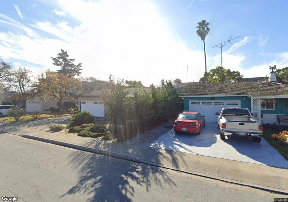
309 Walker Dr Mountain View, CA 94043
Whisman NeighborhoodEstimated Value: $1,668,000 - $2,038,000
3
Beds
2
Baths
1,134
Sq Ft
$1,700/Sq Ft
Est. Value
About This Home
This home is located at 309 Walker Dr, Mountain View, CA 94043 and is currently estimated at $1,927,284, approximately $1,699 per square foot. 309 Walker Dr is a home located in Santa Clara County with nearby schools including Amy Imai Elementary School, Crittenden Middle School, and Mountain View High School.
Ownership History
Date
Name
Owned For
Owner Type
Purchase Details
Closed on
Jul 11, 2005
Sold by
Sugimoto Hiroshi H and Sugimoto Dora
Bought by
Sauerwald Conrad A and Ketchmark Kelley L
Current Estimated Value
Home Financials for this Owner
Home Financials are based on the most recent Mortgage that was taken out on this home.
Original Mortgage
$550,000
Outstanding Balance
$286,364
Interest Rate
5.62%
Mortgage Type
Purchase Money Mortgage
Estimated Equity
$1,640,920
Create a Home Valuation Report for This Property
The Home Valuation Report is an in-depth analysis detailing your home's value as well as a comparison with similar homes in the area
Home Values in the Area
Average Home Value in this Area
Purchase History
| Date | Buyer | Sale Price | Title Company |
|---|---|---|---|
| Sauerwald Conrad A | $705,000 | Chicago Title |
Source: Public Records
Mortgage History
| Date | Status | Borrower | Loan Amount |
|---|---|---|---|
| Open | Sauerwald Conrad A | $550,000 |
Source: Public Records
Tax History
| Year | Tax Paid | Tax Assessment Tax Assessment Total Assessment is a certain percentage of the fair market value that is determined by local assessors to be the total taxable value of land and additions on the property. | Land | Improvement |
|---|---|---|---|---|
| 2025 | $11,176 | $963,422 | $578,056 | $385,366 |
| 2024 | $11,176 | $944,532 | $566,722 | $377,810 |
| 2023 | $11,060 | $926,012 | $555,610 | $370,402 |
| 2022 | $11,028 | $907,856 | $544,716 | $363,140 |
| 2021 | $10,758 | $890,056 | $534,036 | $356,020 |
| 2020 | $10,771 | $880,931 | $528,561 | $352,370 |
| 2019 | $10,319 | $863,659 | $518,198 | $345,461 |
| 2018 | $10,212 | $846,726 | $508,038 | $338,688 |
| 2017 | $9,791 | $830,125 | $498,077 | $332,048 |
| 2016 | $9,494 | $813,849 | $488,311 | $325,538 |
| 2015 | $9,221 | $801,626 | $480,977 | $320,649 |
| 2014 | $9,137 | $785,924 | $471,556 | $314,368 |
Source: Public Records
Map
Nearby Homes
- 201 Flynn Ave Unit 16
- 100 E Middlefield Rd Unit 6G
- 268 Ariana Place
- 651 Cinnamon Cir
- 619 Cinnamon Cir
- 83 Fairchild Dr
- 605 Cinnamon Cir
- 280 Easy St Unit 406
- 227 Ada Ave Unit B
- 201 Ada Ave Unit 25
- 181 Ada Ave Unit 50
- 500 W Middlefield Rd Unit 121
- 500 W Middlefield Rd Unit 122
- 500 W Middlefield Rd Unit 20
- 136 Avellino Way
- 119 Easy St Unit 7
- 159 Irene Ct
- 217 Orbit Way
- 229 Orbit Way
- 171 Bel Air Ct
Your Personal Tour Guide
Ask me questions while you tour the home.