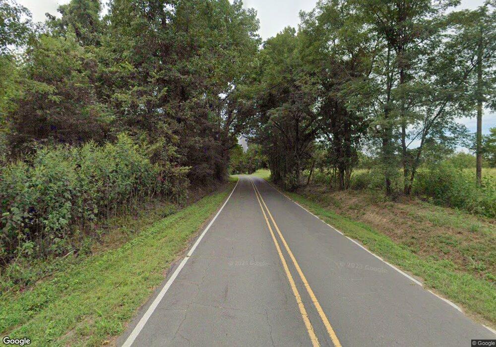
3099 Highway 301 N Lake Cormorant, MS 38641
Lake Cormorant NeighborhoodEstimated Value: $499,000 - $544,000
--
Bed
2
Baths
4,745
Sq Ft
$109/Sq Ft
Est. Value
About This Home
This home is located at 3099 Highway 301 N, Lake Cormorant, MS 38641 and is currently estimated at $519,517, approximately $109 per square foot. 3099 Highway 301 N is a home located in DeSoto County with nearby schools including Lake Cormorant Elementary School, Horn Lake Intermediate School, and Horn Lake Middle School.
Ownership History
Date
Name
Owned For
Owner Type
Purchase Details
Closed on
Feb 21, 2014
Sold by
Dancy Simpson Betty Lou
Bought by
Dancy Simpson Bette Lou and Simpson Vernon L
Current Estimated Value
Create a Home Valuation Report for This Property
The Home Valuation Report is an in-depth analysis detailing your home's value as well as a comparison with similar homes in the area
Home Values in the Area
Average Home Value in this Area
Purchase History
| Date | Buyer | Sale Price | Title Company |
|---|---|---|---|
| Dancy Simpson Bette Lou | -- | None Available |
Source: Public Records
Tax History Compared to Growth
Tax History
| Year | Tax Paid | Tax Assessment Tax Assessment Total Assessment is a certain percentage of the fair market value that is determined by local assessors to be the total taxable value of land and additions on the property. | Land | Improvement |
|---|---|---|---|---|
| 2024 | $2,205 | $29,338 | $3,440 | $25,898 |
| 2023 | $2,205 | $29,338 | $0 | $0 |
| 2022 | $2,205 | $29,338 | $3,440 | $25,898 |
| 2021 | $2,205 | $29,338 | $3,440 | $25,898 |
| 2020 | $2,205 | $29,338 | $3,440 | $25,898 |
| 2019 | $2,663 | $29,338 | $3,440 | $25,898 |
| 2017 | $2,352 | $48,716 | $26,078 | $22,638 |
| 2016 | $2,352 | $26,078 | $3,440 | $22,638 |
| 2015 | $2,652 | $48,716 | $26,078 | $22,638 |
| 2014 | $2,352 | $26,078 | $0 | $0 |
| 2013 | $2,732 | $26,078 | $0 | $0 |
Source: Public Records
Map
Nearby Homes
- 0 Hwy 301 Unit 4116463
- 6193 Nesbit Rd
- 3197 Fogg Rd N
- 4065 Misty Oaks Cove
- 4889 Austin Rd
- Lot 6 Summer Cir
- 6175 Tucker Ridge Rd
- 0 Church Rd Unit 4087501
- 0 Church Rd Unit 4113452
- 0 Church Rd Unit 24641093
- 4161 Misty Oaks Ln
- 4611 Bonne Terre Dr
- 101 Baldwin Rd
- 4788 Bon Jour Dr
- 4655 Bonne Terre Dr
- Lot 15 Michael Dr
- 4869 Church Rd
- 5450 Dean Rd
- 4971 Church Rd
- 7508 Dean Rd
- 3099 Highway 301 N
- 3169 Highway 301 N Unit 301
- 3169 Highway 301 N
- 3169 Highway 301 N
- 3095 Highway 301 N
- 3195 Highway 301 N
- 3195 Highway 301 N Unit 301
- 3195 Highway 301 N
- 3099 Highway Unit 301
- 5645 Star Landing Rd
- 5611 Star Landing Rd
- 5560 Star Landing Rd
- 5542 Star Landing Rd
- 5500 Star Landing Rd
- 3195 Highway Unit 301
- 5482 Star Landing Rd
- 5440 Star Landing Rd
- 5386 Star Landing Rd
- 5330 Star Landing Rd
- 5292 Star Landing Rd
