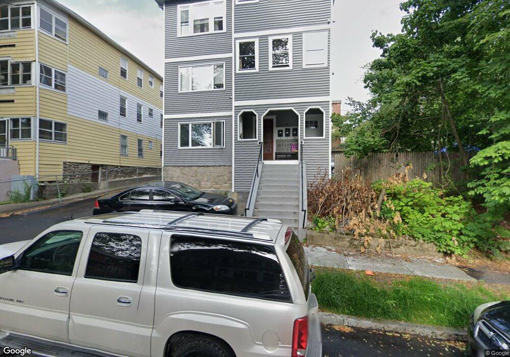
31 Bridgeport St Unit 1 Worcester, MA 01604
Vernon Hill NeighborhoodEstimated Value: $717,000 - $849,000
3
Beds
1
Bath
1,468
Sq Ft
$545/Sq Ft
Est. Value
About This Home
This home is located at 31 Bridgeport St Unit 1, Worcester, MA 01604 and is currently estimated at $799,667, approximately $544 per square foot. 31 Bridgeport St Unit 1 is a home located in Worcester County with nearby schools including Vernon Hill Elementary School, Jacob Hiatt Magnet School, and Chandler Magnet.
Ownership History
Date
Name
Owned For
Owner Type
Purchase Details
Closed on
Mar 11, 2022
Sold by
Sliwa Christine and Sliwa John E
Bought by
Mpi Home Llc
Current Estimated Value
Purchase Details
Closed on
Dec 28, 2021
Sold by
Ashey Ft
Bought by
Sliwa Christine
Purchase Details
Closed on
Jul 28, 2021
Sold by
Ashey Gail A and Ashey Ronald J
Bought by
Ashey Ft
Create a Home Valuation Report for This Property
The Home Valuation Report is an in-depth analysis detailing your home's value as well as a comparison with similar homes in the area
Home Values in the Area
Average Home Value in this Area
Purchase History
| Date | Buyer | Sale Price | Title Company |
|---|---|---|---|
| Mpi Home Llc | -- | None Available | |
| Sliwa Christine | $450,000 | None Available | |
| Ashey Ft | -- | None Available |
Source: Public Records
Tax History Compared to Growth
Tax History
| Year | Tax Paid | Tax Assessment Tax Assessment Total Assessment is a certain percentage of the fair market value that is determined by local assessors to be the total taxable value of land and additions on the property. | Land | Improvement |
|---|---|---|---|---|
| 2025 | $6,806 | $516,000 | $81,200 | $434,800 |
| 2024 | $6,282 | $456,900 | $81,200 | $375,700 |
| 2023 | $6,013 | $419,300 | $70,600 | $348,700 |
| 2022 | $5,226 | $343,600 | $56,500 | $287,100 |
| 2021 | $4,956 | $304,400 | $45,200 | $259,200 |
| 2020 | $3,664 | $215,500 | $44,900 | $170,600 |
| 2019 | $3,640 | $202,200 | $39,200 | $163,000 |
| 2018 | $3,725 | $197,000 | $47,600 | $149,400 |
| 2017 | $3,515 | $182,900 | $47,600 | $135,300 |
| 2016 | $3,289 | $159,600 | $34,000 | $125,600 |
| 2015 | $3,203 | $159,600 | $34,000 | $125,600 |
| 2014 | $3,119 | $159,600 | $34,000 | $125,600 |
Source: Public Records
Map
Nearby Homes
- 31 Bridgeport St
- 29 Bridgeport St
- 29 Bridgeport St Unit 2
- 29 Bridgeport St Unit 3
- 27 Bridgeport St Unit 2
- 25 Bridgeport St Unit 3
- 25 Bridgeport St Unit 2
- 10 Rutledge St Unit 2G
- 10 Rutledge St Unit 3H
- 10 Rutledge St Unit 3G
- 10 Rutledge St Unit 3F
- 10 Rutledge St Unit 3E
- 10 Rutledge St Unit 3D
- 10 Rutledge St Unit 3C
- 10 Rutledge St Unit 3B
- 10 Rutledge St Unit 3A
- 10 Rutledge St Unit 2H
- 10 Rutledge St Unit 2G
- 10 Rutledge St Unit 2F
- 10 Rutledge St Unit 2E