31 Brookside Way Missoula, MT 59802
Upper Rattlesnake NeighborhoodEstimated Value: $683,580 - $1,045,000
2
Beds
3
Baths
3,313
Sq Ft
$247/Sq Ft
Est. Value
About This Home
This home is located at 31 Brookside Way, Missoula, MT 59802 and is currently estimated at $816,895, approximately $246 per square foot. 31 Brookside Way is a home located in Missoula County with nearby schools including Rattlesnake Elementary School, Washington Middle School, and Hellgate High School.
Ownership History
Date
Name
Owned For
Owner Type
Purchase Details
Closed on
Aug 16, 2010
Sold by
Redmond Roland L and Sophia R Redmond Irrevocable T
Bought by
U S Bank N A and Sophia R Redmond Special Needs Trust
Current Estimated Value
Purchase Details
Closed on
Jun 30, 2010
Sold by
Parks Jan K and The Stone 1982 Trust
Bought by
Redmond Roland L and Sophia R Redmond Irrevocable T
Purchase Details
Closed on
Apr 26, 2009
Sold by
Stone John B and Stone Jane B
Bought by
Stone Jane B and Stone James B
Create a Home Valuation Report for This Property
The Home Valuation Report is an in-depth analysis detailing your home's value as well as a comparison with similar homes in the area
Home Values in the Area
Average Home Value in this Area
Purchase History
| Date | Buyer | Sale Price | Title Company |
|---|---|---|---|
| U S Bank N A | -- | None Available | |
| Redmond Roland L | -- | Insured Titles Llc | |
| Stone Jane B | -- | None Available |
Source: Public Records
Tax History
| Year | Tax Paid | Tax Assessment Tax Assessment Total Assessment is a certain percentage of the fair market value that is determined by local assessors to be the total taxable value of land and additions on the property. | Land | Improvement |
|---|---|---|---|---|
| 2025 | $3,763 | $727,100 | $305,338 | $421,762 |
| 2024 | $5,048 | $574,800 | $90,981 | $483,819 |
| 2023 | $4,870 | $574,800 | $90,981 | $483,819 |
| 2022 | $4,076 | $461,100 | $0 | $0 |
| 2021 | $3,658 | $461,100 | $0 | $0 |
| 2020 | $3,495 | $426,600 | $0 | $0 |
| 2019 | $3,482 | $426,600 | $0 | $0 |
| 2018 | $3,335 | $408,300 | $0 | $0 |
| 2017 | $2,975 | $408,300 | $0 | $0 |
| 2016 | $2,239 | $336,800 | $0 | $0 |
| 2015 | $2,072 | $336,800 | $0 | $0 |
| 2014 | $3,895 | $187,832 | $0 | $0 |
Source: Public Records
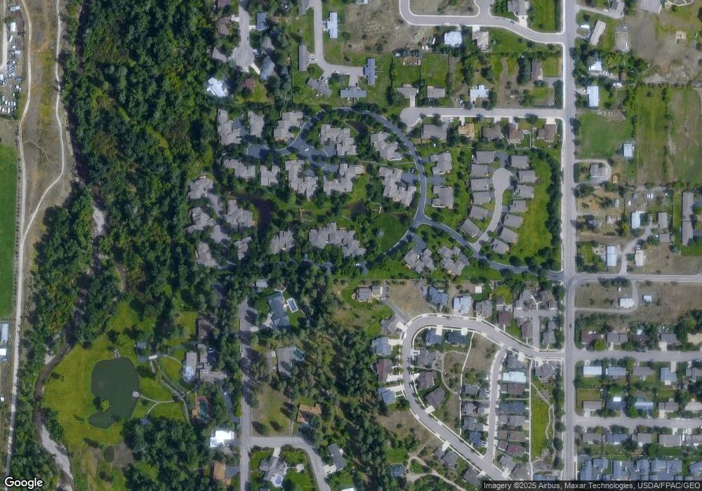
Map
Nearby Homes
- 42 Brookside Way
- 45 Brookside Way
- 19 Columbine Rd
- 521 Arbor Dr
- 4175 Rattlesnake Dr
- 4280 Fox Farm Rd
- 2411 Raymond Ave
- 606 Linden St
- 2215 Raymond Ave
- 2761 Contour Rd
- 1227 Basecamp Dr Unit A
- 1250 Basecamp Dr Unit F
- 2201 Greenough Ct W
- 2 Elk Ridge Ct
- 1811 Elison Ln
- 632 N 5th St W Unit A,B,C,D,F
- 1220 Kennett Ave Unit C
- 1220 Kennett Ave Unit D
- 1220 Kennett Ave Unit F
- 1220 Kennett Ave Unit B
- 30 Brookside Way
- 32 Brookside Way
- 33 Brookside Way
- 34 Brookside Way
- 35 Brookside Way
- 3219 Cummins Way
- 36 Brookside Way
- 74 Brookside Way
- 75 Brookside Way
- 37 Brookside Way
- 21 Brookside Way
- 76 Brookside Way
- 62 Brookside Way
- 73 Brookside Way
- 38 Brookside Way
- 77 Brookside Way
- 63 Brookside Way
- 63 Brookside Way
- 61 Brookside Way
- 3223 Cummins Way
Your Personal Tour Guide
Ask me questions while you tour the home.