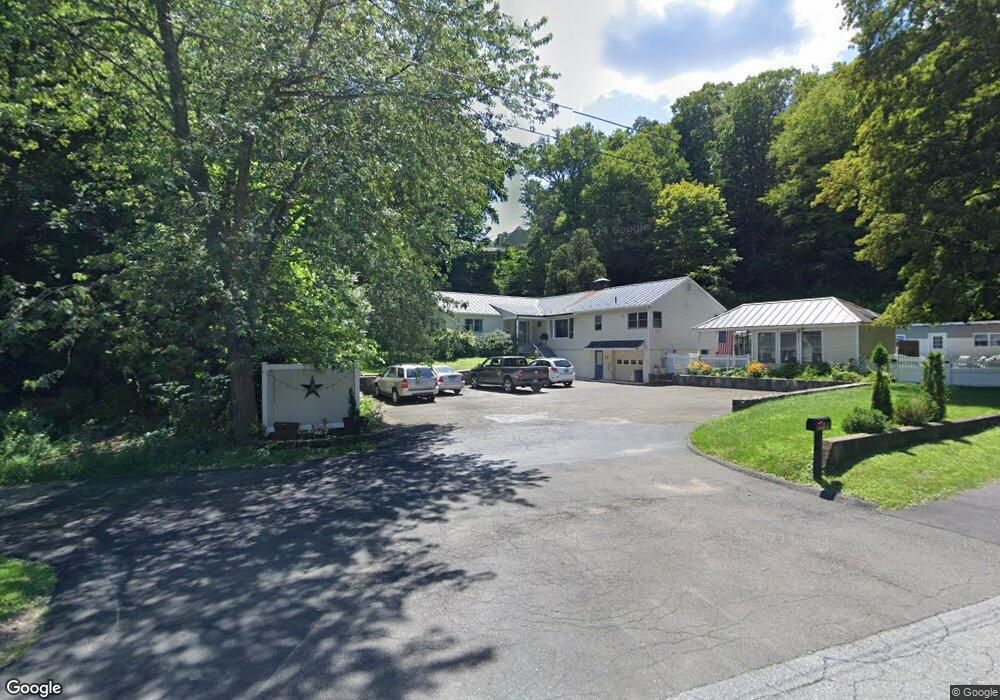
31 Connery St Wilton, CT 06897
Estimated Value: $756,000 - $1,147,473
4
Beds
2
Baths
2,909
Sq Ft
$342/Sq Ft
Est. Value
About This Home
This home is located at 31 Connery St, Wilton, CT 06897 and is currently estimated at $995,868, approximately $342 per square foot. 31 Connery St is a home located in Fairfield County with nearby schools including Miller-Driscoll School, Cider Mill School, and Middlebrook School.
Ownership History
Date
Name
Owned For
Owner Type
Purchase Details
Closed on
Nov 15, 2018
Sold by
Heibeck George W
Bought by
Heibeck Barbara E
Current Estimated Value
Purchase Details
Closed on
Nov 8, 2004
Sold by
Heibeck Donald and Dlugo Donald
Bought by
Heibeck George W
Home Financials for this Owner
Home Financials are based on the most recent Mortgage that was taken out on this home.
Original Mortgage
$645,000
Interest Rate
6.87%
Create a Home Valuation Report for This Property
The Home Valuation Report is an in-depth analysis detailing your home's value as well as a comparison with similar homes in the area
Home Values in the Area
Average Home Value in this Area
Purchase History
| Date | Buyer | Sale Price | Title Company |
|---|---|---|---|
| Heibeck Barbara E | -- | -- | |
| Heibeck George W | $725,000 | -- |
Source: Public Records
Mortgage History
| Date | Status | Borrower | Loan Amount |
|---|---|---|---|
| Previous Owner | Heibeck George W | $490,000 | |
| Previous Owner | Heibeck George W | $500,000 | |
| Previous Owner | Heibeck George W | $645,000 |
Source: Public Records
Tax History
| Year | Tax Paid | Tax Assessment Tax Assessment Total Assessment is a certain percentage of the fair market value that is determined by local assessors to be the total taxable value of land and additions on the property. | Land | Improvement |
|---|---|---|---|---|
| 2025 | $14,859 | $608,720 | $227,920 | $380,800 |
| 2024 | $14,573 | $608,720 | $227,920 | $380,800 |
| 2023 | $14,856 | $365,400 | $217,910 | $147,490 |
| 2022 | $10,315 | $365,400 | $217,910 | $147,490 |
| 2021 | $10,184 | $365,400 | $217,910 | $147,490 |
| 2020 | $10,034 | $365,400 | $217,910 | $147,490 |
| 2019 | $10,429 | $365,400 | $217,910 | $147,490 |
| 2018 | $10,423 | $369,740 | $228,830 | $140,910 |
| 2017 | $10,268 | $369,740 | $228,830 | $140,910 |
| 2016 | $10,109 | $369,740 | $228,830 | $140,910 |
| 2015 | $9,920 | $369,740 | $228,830 | $140,910 |
| 2014 | $9,802 | $369,740 | $228,830 | $140,910 |
Source: Public Records
Map
Nearby Homes
- 0 Mountain Rd
- 852 Danbury Rd
- 64 Portland Ave
- 0 Old Mill Rd
- 26 Wilridge Rd
- 30 Highland Ave
- 00 Old Mill Rd
- 17 Tall Oaks Rd
- 78 Pin Oak Ln
- 15 Laurel Hill Rd
- 349 Mountain Rd
- 25 Eustis Ln
- 123A Peaceable St
- 30 Rising Ridge Rd
- 219 Redding Rd
- 38 Honey Hill Rd
- Lot 6 Cattle Pen Ln
- 51 Deer Run Rd
- 74 Seventy Acre Rd
- 252 Florida Hill Rd
- 27 Connery St Unit 29
- 937 Danbury Rd
- 28 Connery St
- 25 Own Home Ave
- 29 Own Home Ave
- 23 Own Home Ave
- 16 Mountain Rd
- 7 Read Place
- 24 Own Home Ave
- 35 Own Home Ave
- 45 Own Home Ave
- 24 Connery St Unit 26
- 0 Read Place
- 9 Read Place
- 26 Mountain Rd
- 40 Own Home Ave
- 940 Danbury Rd
- 43 Own Home Ave
- 42 Own Home Ave Unit 44
- 18 Own Home Ave
Your Personal Tour Guide
Ask me questions while you tour the home.