31 Down Harbor Rd Edgartown, MA 02539
Edgartown NeighborhoodEstimated Value: $4,421,000 - $6,815,664
5
Beds
6
Baths
4,200
Sq Ft
$1,429/Sq Ft
Est. Value
About This Home
This home is located at 31 Down Harbor Rd, Edgartown, MA 02539 and is currently estimated at $6,003,666, approximately $1,429 per square foot. 31 Down Harbor Rd is a home located in Dukes County with nearby schools including Edgartown Elementary School and Martha's Vineyard Regional High School.
Ownership History
Date
Name
Owned For
Owner Type
Purchase Details
Closed on
Dec 9, 2008
Sold by
Cress William E
Bought by
Shapiro Felice H and Cress William E
Current Estimated Value
Purchase Details
Closed on
Oct 30, 2007
Sold by
Sonnabend Edgartown Rt and Sonnabend Gloria A
Bought by
Cress William E
Create a Home Valuation Report for This Property
The Home Valuation Report is an in-depth analysis detailing your home's value as well as a comparison with similar homes in the area
Home Values in the Area
Average Home Value in this Area
Purchase History
| Date | Buyer | Sale Price | Title Company |
|---|---|---|---|
| Shapiro Felice H | -- | -- | |
| Cress William E | $2,600,000 | -- |
Source: Public Records
Tax History
| Year | Tax Paid | Tax Assessment Tax Assessment Total Assessment is a certain percentage of the fair market value that is determined by local assessors to be the total taxable value of land and additions on the property. | Land | Improvement |
|---|---|---|---|---|
| 2025 | $17,673 | $6,669,000 | $3,934,900 | $2,734,100 |
| 2024 | $15,984 | $6,268,300 | $3,934,900 | $2,333,400 |
| 2023 | $15,155 | $6,014,000 | $3,793,500 | $2,220,500 |
| 2022 | $16,069 | $5,303,175 | $3,744,875 | $1,558,300 |
| 2021 | $12,795 | $3,901,033 | $2,342,733 | $1,558,300 |
| 2020 | $13,073 | $3,902,251 | $2,652,151 | $1,250,100 |
| 2019 | $12,957 | $3,348,100 | $2,210,100 | $1,138,000 |
| 2018 | $12,533 | $3,238,400 | $2,210,100 | $1,028,300 |
| 2017 | $11,121 | $3,132,600 | $2,148,200 | $984,400 |
| 2016 | $10,741 | $2,967,100 | $1,868,000 | $1,099,100 |
| 2015 | $8,993 | $2,591,600 | $1,786,800 | $804,800 |
Source: Public Records
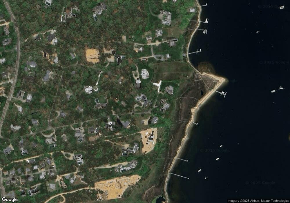
Map
Nearby Homes
- 7 Martha's Way
- 1 Field Club Dr
- 7 Katama Dr
- 90 Schoolhouse Rd
- 90 Schoolhouse Rd Unit 14
- 19 Kitts Field Cir
- 42 Road To the Plains
- 23 Thaxter Ln
- 11A Duarte Cir
- 24 Katama Bay View Rd
- 69 School St
- 58 Road To the Plains
- 52 S Summer St
- 43 Peases Point Way S
- 68 N Water St
- 72 Chappaquiddick Ave
- 117 N Water St
- 114 N Water St
- 23 Beetle Swamp Rd
- 39 Slough Cove Rd Unit 12.2 (part of)
- 34 Down Harbor Rd
- 25 Down Harbor Rd
- 30 Down Harbor Rd
- 9 Guernsey Ln
- 36 Down Harbor Rd
- 24 Kent Harbor Rd
- 26 Down Harbor Rd
- 11 Milikin Way
- 12 Milikin Way
- 24 Down Harbor Rd
- 21 Down Harbor Rd
- 16 Guernsey Ln
- 11 Guernsey Ln
- 10 Milikin Way
- 10 Milikin Way Unit 1
- 22 Kent Harbor Rd
- 19 Kent Harbor Rd
- 20 Down Harbor Rd
- 14 Guernsey Ln
- 17 Down Harbor Rd
Your Personal Tour Guide
Ask me questions while you tour the home.