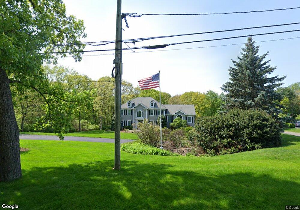
31 Flat Rock Dr Easton, CT 06612
Estimated Value: $1,201,240 - $1,339,000
4
Beds
4
Baths
3,414
Sq Ft
$373/Sq Ft
Est. Value
About This Home
This home is located at 31 Flat Rock Dr, Easton, CT 06612 and is currently estimated at $1,273,810, approximately $373 per square foot. 31 Flat Rock Dr is a home located in Fairfield County with nearby schools including Samuel Staples Elementary School, Helen Keller Middle School, and Joel Barlow High School.
Ownership History
Date
Name
Owned For
Owner Type
Purchase Details
Closed on
May 19, 1998
Sold by
Stone Gate Dev Llc
Bought by
Brennan John and Brennan Barbara
Current Estimated Value
Home Financials for this Owner
Home Financials are based on the most recent Mortgage that was taken out on this home.
Original Mortgage
$457,900
Interest Rate
6.7%
Mortgage Type
Unknown
Create a Home Valuation Report for This Property
The Home Valuation Report is an in-depth analysis detailing your home's value as well as a comparison with similar homes in the area
Home Values in the Area
Average Home Value in this Area
Purchase History
| Date | Buyer | Sale Price | Title Company |
|---|---|---|---|
| Brennan John | $564,000 | -- | |
| Brennan John | $564,000 | -- |
Source: Public Records
Mortgage History
| Date | Status | Borrower | Loan Amount |
|---|---|---|---|
| Open | Brennan John | $385,800 | |
| Closed | Brennan John | $417,000 | |
| Closed | Brennan John | $457,900 |
Source: Public Records
Tax History Compared to Growth
Tax History
| Year | Tax Paid | Tax Assessment Tax Assessment Total Assessment is a certain percentage of the fair market value that is determined by local assessors to be the total taxable value of land and additions on the property. | Land | Improvement |
|---|---|---|---|---|
| 2025 | $18,408 | $593,810 | $218,890 | $374,920 |
| 2024 | $17,541 | $593,810 | $218,890 | $374,920 |
| 2023 | $17,197 | $593,810 | $218,890 | $374,920 |
| 2022 | $16,888 | $593,810 | $218,890 | $374,920 |
| 2021 | $15,607 | $482,430 | $189,270 | $293,160 |
| 2020 | $14,955 | $482,430 | $189,270 | $293,160 |
| 2019 | $15,115 | $482,430 | $189,270 | $293,160 |
| 2018 | $15,139 | $482,430 | $189,270 | $293,160 |
| 2017 | $16,104 | $482,430 | $189,270 | $293,160 |
| 2016 | $15,261 | $495,330 | $209,010 | $286,320 |
| 2015 | $15,048 | $495,330 | $209,010 | $286,320 |
| 2014 | $14,810 | $495,330 | $209,010 | $286,320 |
Source: Public Records
Map
Nearby Homes
- 63 Flat Rock Dr
- 305 Sport Hill Rd
- 16 Manor Ln
- 68 High Ridge Rd
- 48 Sunset Rd
- 38 Chester Rd
- 39 Sunset Rd
- 35 Sturbridge Rd
- 83 Buck Hill Rd
- 93 Tersana Dr
- 32 Adirondack Trail
- 132 Merrimac Dr
- 26 Wendy Rd
- 42 Wendy Rd
- lot 194 Prospect Ave
- 34 Merrimac Dr
- 76 Hilary Cir Unit 76
- 10 Aragon Dr
- 4293 Madison Ave
- 38 Smith Place
- 26 Flat Rock Dr
- 39 Flat Rock Dr
- 46 Flat Rock Dr
- 23 Flat Rock Dr
- 34 Flat Rock Dr
- 35 Flat Rock Dr
- 14 Flat Rock Dr
- 41 Flat Rock Dr
- 19 Flat Rock Dr
- 15 Flat Rock Dr
- 44 Flat Rock Dr
- 71 Flat Rock Rd
- 61 Flat Rock Rd
- 9 Flat Rock Dr
- 43 Flat Rock Dr
- 81 Flat Rock Rd
- 49 Flat Rock Rd
- 87 Flat Rock Rd
- 45 Flat Rock Rd
- 60 Flat Rock Dr