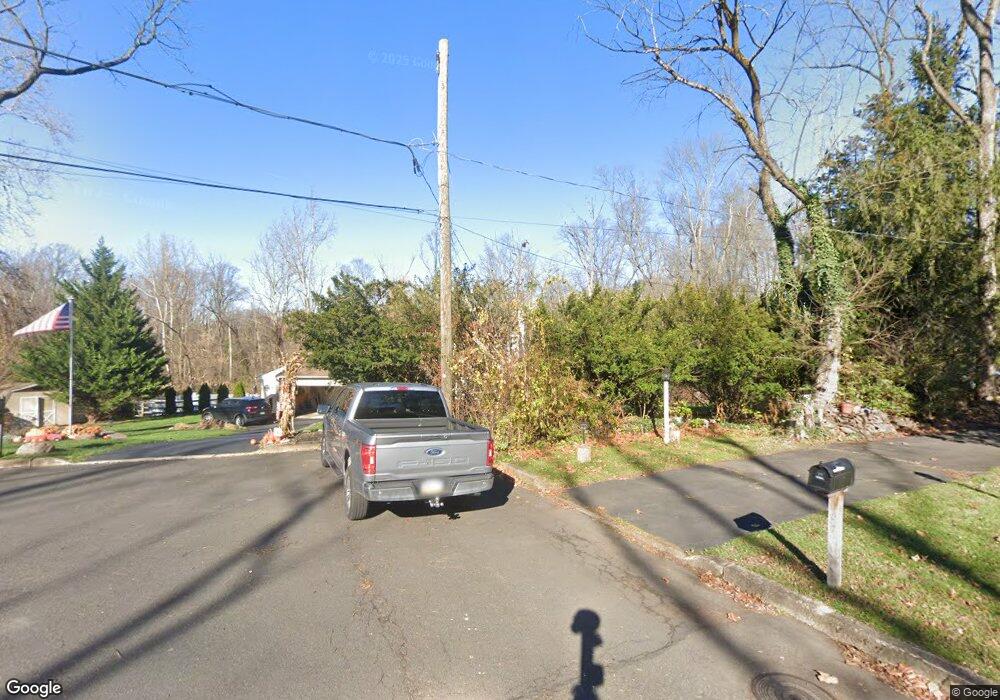
31 Homestead Dr Warminster, PA 18974
Estimated Value: $579,000 - $670,000
4
Beds
3
Baths
2,507
Sq Ft
$252/Sq Ft
Est. Value
About This Home
This home is located at 31 Homestead Dr, Warminster, PA 18974 and is currently estimated at $631,807, approximately $252 per square foot. 31 Homestead Dr is a home located in Bucks County with nearby schools including Maureen M. Welch Elementary School, Richboro Middle School, and Council Rock High School - South.
Ownership History
Date
Name
Owned For
Owner Type
Purchase Details
Closed on
Nov 30, 1999
Sold by
Vogelsang David B
Bought by
Decker Burton J and Decker Roseann
Current Estimated Value
Home Financials for this Owner
Home Financials are based on the most recent Mortgage that was taken out on this home.
Original Mortgage
$162,000
Outstanding Balance
$50,714
Interest Rate
7.86%
Estimated Equity
$581,093
Purchase Details
Closed on
Nov 26, 1996
Sold by
Kessel Marcia Abramsohn
Bought by
Vogelsang David B
Home Financials for this Owner
Home Financials are based on the most recent Mortgage that was taken out on this home.
Original Mortgage
$179,900
Interest Rate
7.62%
Mortgage Type
Balloon
Create a Home Valuation Report for This Property
The Home Valuation Report is an in-depth analysis detailing your home's value as well as a comparison with similar homes in the area
Home Values in the Area
Average Home Value in this Area
Purchase History
| Date | Buyer | Sale Price | Title Company |
|---|---|---|---|
| Decker Burton J | $202,500 | First American Title Ins Co | |
| Vogelsang David B | $199,900 | Lawyers Title Insurance Corp |
Source: Public Records
Mortgage History
| Date | Status | Borrower | Loan Amount |
|---|---|---|---|
| Open | Decker Burton J | $162,000 | |
| Previous Owner | Vogelsang David B | $179,900 |
Source: Public Records
Tax History Compared to Growth
Tax History
| Year | Tax Paid | Tax Assessment Tax Assessment Total Assessment is a certain percentage of the fair market value that is determined by local assessors to be the total taxable value of land and additions on the property. | Land | Improvement |
|---|---|---|---|---|
| 2025 | $6,472 | $33,600 | $6,480 | $27,120 |
| 2024 | $6,472 | $33,600 | $6,480 | $27,120 |
| 2023 | $6,099 | $33,600 | $6,480 | $27,120 |
| 2022 | $6,044 | $33,600 | $6,480 | $27,120 |
| 2021 | $5,852 | $33,600 | $6,480 | $27,120 |
| 2020 | $5,721 | $33,600 | $6,480 | $27,120 |
| 2019 | $5,476 | $33,600 | $6,480 | $27,120 |
| 2018 | $5,378 | $33,600 | $6,480 | $27,120 |
| 2017 | $5,171 | $33,600 | $6,480 | $27,120 |
| 2016 | $5,171 | $33,600 | $6,480 | $27,120 |
| 2015 | -- | $33,600 | $6,480 | $27,120 |
| 2014 | -- | $33,600 | $6,480 | $27,120 |
Source: Public Records
Map
Nearby Homes
- 1000 Old Jacksonville Rd
- 6 Breckenridge Dr
- 1390 Old Jacksonville Rd
- 1408 Old Jacksonville Rd
- 31 Aspen Dr
- 636 Almshouse Rd
- 223 Cecelia Acres Dr
- 3 Shady Pines Dr
- 23 Oxford Dr
- 8 Lacey Ln
- 18 Lacey Ln
- 9 Spring Mill Dr
- 11 Spring Mill Dr
- 10 Spring Mill Dr
- 2417 April Dr
- 105 Edwards Dr
- 934 Nathaniel Trail
- The Addis Plan at The Reserve at Spring Mill
- The Beckett Plan at The Reserve at Spring Mill
- 112 Edwards Dr
- 36 Homestead Dr
- 29 Homestead Dr
- 10 Homestead Dr
- 117 Macfarland Ave
- 77 Macfarland Ave
- 55 Neshaminy Dr
- 46 Neshaminy Dr
- 45 Neshaminy Dr
- 38 Neshaminy Dr
- 98 Macfarland Ave
- 90 Macfarland Ave
- 106 Macfarland Ave
- 78 Macfarland Ave
- 118 Macfarland Ave
- 1260 Grenoble Rd
- 37 Neshaminy Dr
- 30 Neshaminy Dr
- 29 Neshaminy Dr
- 18 Neshaminy Dr
- 60 Macfarland Ave