31 Kenneally Dr Chichester, NH 03258
Estimated Value: $537,818 - $635,000
3
Beds
2
Baths
2,694
Sq Ft
$221/Sq Ft
Est. Value
About This Home
This home is located at 31 Kenneally Dr, Chichester, NH 03258 and is currently estimated at $596,205, approximately $221 per square foot. 31 Kenneally Dr is a home located in Merrimack County with nearby schools including Chichester Central School, Capital City Public Charter School (E), and Capital Christian School.
Ownership History
Date
Name
Owned For
Owner Type
Purchase Details
Closed on
Dec 11, 2015
Sold by
Kenneally Kimberly J
Bought by
Kenneally 3Rd Thomas J
Current Estimated Value
Home Financials for this Owner
Home Financials are based on the most recent Mortgage that was taken out on this home.
Original Mortgage
$55,000
Outstanding Balance
$43,350
Interest Rate
3.77%
Mortgage Type
Purchase Money Mortgage
Estimated Equity
$552,855
Create a Home Valuation Report for This Property
The Home Valuation Report is an in-depth analysis detailing your home's value as well as a comparison with similar homes in the area
Home Values in the Area
Average Home Value in this Area
Purchase History
| Date | Buyer | Sale Price | Title Company |
|---|---|---|---|
| Kenneally 3Rd Thomas J | -- | -- |
Source: Public Records
Mortgage History
| Date | Status | Borrower | Loan Amount |
|---|---|---|---|
| Open | Kenneally 3Rd Thomas J | $55,000 |
Source: Public Records
Tax History Compared to Growth
Tax History
| Year | Tax Paid | Tax Assessment Tax Assessment Total Assessment is a certain percentage of the fair market value that is determined by local assessors to be the total taxable value of land and additions on the property. | Land | Improvement |
|---|---|---|---|---|
| 2024 | $7,641 | $440,934 | $131,334 | $309,600 |
| 2023 | $7,240 | $440,934 | $131,334 | $309,600 |
| 2022 | $6,621 | $271,567 | $75,967 | $195,600 |
| 2021 | $6,287 | $272,150 | $76,550 | $195,600 |
| 2020 | $6,317 | $272,518 | $76,918 | $195,600 |
| 2019 | $6,359 | $271,741 | $76,141 | $195,600 |
| 2018 | $6,919 | $271,759 | $76,159 | $195,600 |
| 2017 | $6,865 | $247,648 | $55,848 | $191,800 |
| 2016 | $6,763 | $247,648 | $55,848 | $191,800 |
| 2015 | $6,539 | $247,959 | $56,159 | $191,800 |
| 2014 | $6,645 | $247,959 | $66,300 | $181,659 |
| 2013 | $6,278 | $247,959 | $66,300 | $181,659 |
Source: Public Records
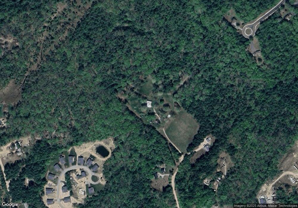
Map
Nearby Homes
- 24 John Hardie Way
- 7 John Hardie Way
- 361 Dover Rd
- 239 Ricker Rd
- 438 Route 106 S
- 18 Ked Dr
- 5 Midmark Ln
- 66 Staniels Rd
- 762 Robinson Rd
- 15 Canterbury Rd
- 00 Wales Bridge Rd Unit 5
- 14 Short Falls Rd
- 31 Ilona Ln
- 834 Borough Rd
- 611 N Pembroke Rd
- 15 Fred Wood Dr
- 294 Portsmouth St
- 39 Route 129
- 667 Borough Rd
- 8 NE Village Rd
- 21 Kenneally Dr
- 26 Kenneally Dr
- 19 John Hardie Way Unit 9
- 17 John Hardie Way Unit 8
- 12 Penny Ln
- 362 Dover Rd
- 362 Dover Rd Unit 6
- 362 Dover Rd Unit 17
- 362 Dover Rd Unit 10
- 362 Dover Rd Unit 5
- 362 Dover Rd Unit 4
- 24 John Hardie Way
- 15 John Hardie Way Unit 7
- 24 John Hardie Way Unit 16
- 23 John Hardie Way Unit 10
- 25 John Hardie Way Unit 11
- 13 John Hardie Way
- 13 John Hardie Way Unit 6
- 1 John Hardie Way Unit 18
- 12 John Hardie Way