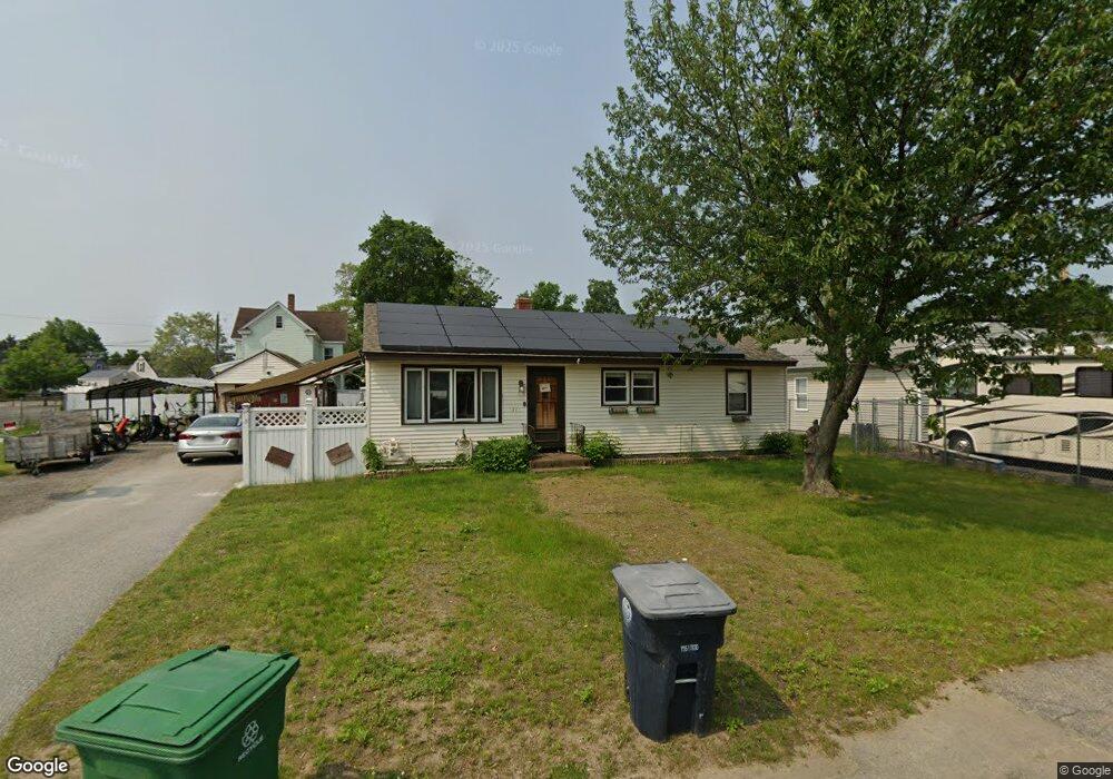
31 Linwood St Unit 47 Nashua, NH 03060
South End Nashua NeighborhoodEstimated Value: $440,000 - $460,366
2
Beds
1
Bath
960
Sq Ft
$471/Sq Ft
Est. Value
About This Home
This home is located at 31 Linwood St Unit 47, Nashua, NH 03060 and is currently estimated at $452,592, approximately $471 per square foot. 31 Linwood St Unit 47 is a home located in Hillsborough County with nearby schools including Fairgrounds Elementary School, Fairgrounds Middle School, and Nashua High School South.
Ownership History
Date
Name
Owned For
Owner Type
Purchase Details
Closed on
Sep 21, 2018
Sold by
Levesque Rene P and Levesque Rita F
Bought by
Levesque Rene P and Levesque Rita F
Current Estimated Value
Home Financials for this Owner
Home Financials are based on the most recent Mortgage that was taken out on this home.
Original Mortgage
$357,750
Outstanding Balance
$354,632
Interest Rate
4.6%
Mortgage Type
Reverse Mortgage Home Equity Conversion Mortgage
Estimated Equity
$97,960
Purchase Details
Closed on
Nov 14, 1979
Bought by
Levesque Rene P J and Levesque Rita F
Create a Home Valuation Report for This Property
The Home Valuation Report is an in-depth analysis detailing your home's value as well as a comparison with similar homes in the area
Home Values in the Area
Average Home Value in this Area
Purchase History
| Date | Buyer | Sale Price | Title Company |
|---|---|---|---|
| Levesque Rene P | -- | -- | |
| Levesque Rene P J | -- | -- |
Source: Public Records
Mortgage History
| Date | Status | Borrower | Loan Amount |
|---|---|---|---|
| Open | Levesque Rene P | $357,750 |
Source: Public Records
Tax History Compared to Growth
Tax History
| Year | Tax Paid | Tax Assessment Tax Assessment Total Assessment is a certain percentage of the fair market value that is determined by local assessors to be the total taxable value of land and additions on the property. | Land | Improvement |
|---|---|---|---|---|
| 2024 | $6,234 | $392,100 | $152,400 | $239,700 |
| 2023 | $5,976 | $327,800 | $121,900 | $205,900 |
| 2022 | $5,923 | $327,800 | $121,900 | $205,900 |
| 2021 | $5,429 | $233,800 | $81,300 | $152,500 |
| 2020 | $4,875 | $215,600 | $81,300 | $134,300 |
| 2019 | $4,691 | $215,600 | $81,300 | $134,300 |
| 2018 | $4,573 | $215,600 | $81,300 | $134,300 |
| 2017 | $4,083 | $158,300 | $70,400 | $87,900 |
| 2016 | $3,969 | $158,300 | $70,400 | $87,900 |
| 2015 | $3,883 | $158,300 | $70,400 | $87,900 |
| 2014 | $3,807 | $158,300 | $70,400 | $87,900 |
Source: Public Records
Map
Nearby Homes
- 97 Linwood St
- 22 Kern Dr
- 63 Dexter St
- 169A W Hollis St Unit 193
- 4 Badger St
- 22 New Dunstable Rd Unit 132133
- 22 Wilder St
- 41 New Dunstable Rd Unit 371
- 11 Bordeaux St
- 15 Lovell St Unit 20
- 15 Lovell St Unit 3
- 15 Lovell St Unit 7
- 15 Lovell St Unit 10
- 8 Buck St Unit 10
- 30 Ledge St
- 38 Central St
- 5 Mulberry St
- 6 Hayden St
- 24 E Otterson St
- 1 Circle Ave
- 29 Linwood St Unit 43
- 26 Monroe St
- 32 Linwood St Unit 67
- 24 Monroe St Unit 4044
- 30 Linwood St Unit 9
- 18 Lewis St
- 22 Lewis St Unit 117
- 16 Lewis St
- 20 Monroe St
- 233 Lake St
- 19 Monroe St Unit 69
- 8 Lake Ave
- 21 Linwood St Unit 3537
- 12 Lewis St Unit 82
- 21 Lewis St Unit 34
- 49 Monroe St
- 15 Lewis St Unit 1213
- 10 Lake Ave Unit 81
- 184 Lake St
- 224 Lake St