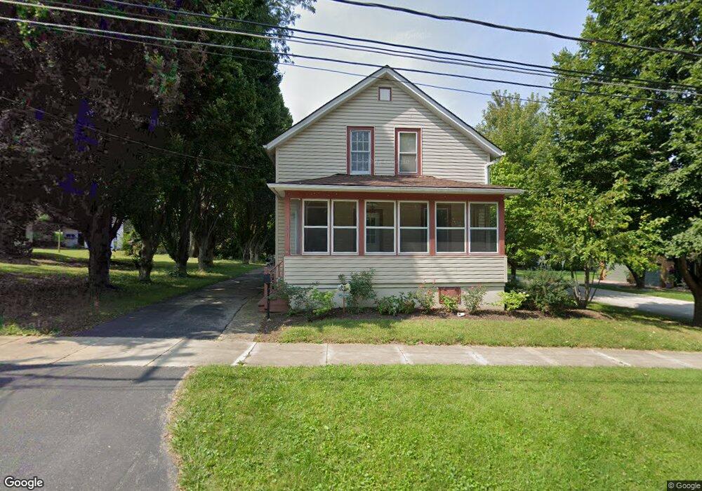
31 N 12th St Saint Charles, IL 60174
Southwest Saint Charles NeighborhoodEstimated Value: $275,000 - $384,000
5
Beds
2
Baths
1,536
Sq Ft
$217/Sq Ft
Est. Value
About This Home
This home is located at 31 N 12th St, Saint Charles, IL 60174 and is currently estimated at $333,638, approximately $217 per square foot. 31 N 12th St is a home located in Kane County with nearby schools including Wild Rose Elementary School, Thompson Middle School, and St Charles East High School.
Ownership History
Date
Name
Owned For
Owner Type
Purchase Details
Closed on
Aug 25, 2025
Sold by
Kazimier Berzinski and Kazimier Jason C
Bought by
Kazimier Jason C
Current Estimated Value
Purchase Details
Closed on
Aug 12, 2011
Sold by
Leigh James E and Haton Deborah L
Bought by
Kazimier Jason C and Berzinski Nicolette M
Home Financials for this Owner
Home Financials are based on the most recent Mortgage that was taken out on this home.
Original Mortgage
$122,500
Interest Rate
4.64%
Mortgage Type
New Conventional
Create a Home Valuation Report for This Property
The Home Valuation Report is an in-depth analysis detailing your home's value as well as a comparison with similar homes in the area
Home Values in the Area
Average Home Value in this Area
Purchase History
| Date | Buyer | Sale Price | Title Company |
|---|---|---|---|
| Kazimier Jason C | -- | None Listed On Document | |
| Kazimier Jason C | $172,500 | First American Title |
Source: Public Records
Mortgage History
| Date | Status | Borrower | Loan Amount |
|---|---|---|---|
| Previous Owner | Kazimier Jason C | $122,500 |
Source: Public Records
Tax History Compared to Growth
Tax History
| Year | Tax Paid | Tax Assessment Tax Assessment Total Assessment is a certain percentage of the fair market value that is determined by local assessors to be the total taxable value of land and additions on the property. | Land | Improvement |
|---|---|---|---|---|
| 2024 | $6,482 | $95,320 | $26,068 | $69,252 |
| 2023 | $6,188 | $85,313 | $23,331 | $61,982 |
| 2022 | $5,993 | $80,228 | $25,308 | $54,920 |
| 2021 | $5,748 | $76,474 | $24,124 | $52,350 |
| 2020 | $5,597 | $74,012 | $23,674 | $50,338 |
| 2019 | $5,492 | $72,546 | $23,205 | $49,341 |
| 2018 | $5,243 | $69,213 | $22,779 | $46,434 |
| 2017 | $5,098 | $66,846 | $22,000 | $44,846 |
| 2016 | $5,344 | $64,498 | $21,227 | $43,271 |
| 2015 | -- | $60,458 | $20,998 | $39,460 |
| 2014 | -- | $58,767 | $20,998 | $37,769 |
| 2013 | -- | $60,523 | $21,208 | $39,315 |
Source: Public Records
Map
Nearby Homes
- 231 Sedgewick Cir
- 205 Auburn Ct Unit 205
- 1330-1332 S 14th St
- 1108 S 12th St Unit 2
- 3N866 Ferson Creek Rd
- 1336-1338 S 14th St
- 50 S 1st St Unit 5D
- 921 Oak Crest Ln Unit 1
- 1017 S 6th St
- 806 Fellows St
- 1028 S 5th St
- 107 N 3rd Ave
- 311 Ohio Ave
- 885 Geneva Rd
- Lot 1 Keller Place
- 1008 Pine St
- 3108 Saint Michel Ln
- 106 Sumac Ct
- 1034 N 5th Ave
- Lot 2 Geneva Rd
- 25 N 12th St
- 33 N 12th St
- 1225 Brook St
- 21 N 12th St
- 45 N 12th St
- 1220 Brook St
- 17 N 12th St
- 13 N 12th St
- 32 N 12th St
- 30 N 12th St
- 15 N 12th St
- 20 N 12th St
- 51 N 12th St
- 42 N 12th St
- 1320 Brook St Unit A
- 1320 Brook St Unit B
- 1320 Brook St Unit M
- 1320 Brook St Unit L
- 1320 Brook St Unit K
- 1320 Brook St Unit J