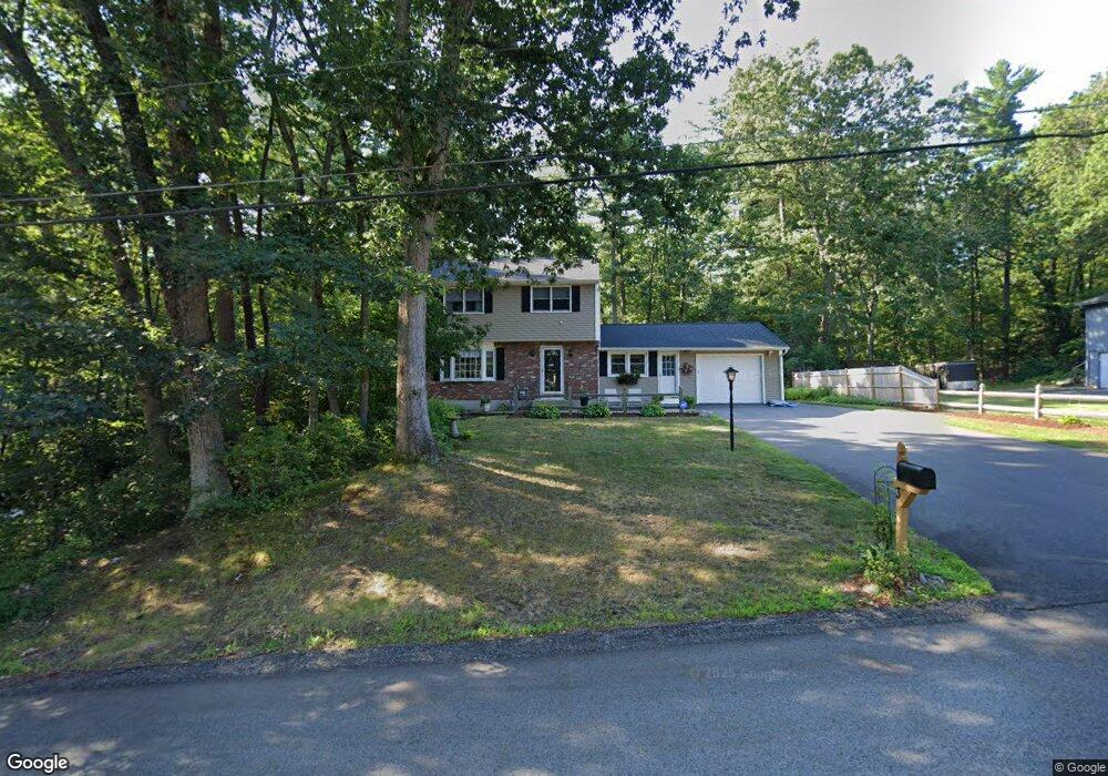
31 Pemberton Rd Nashua, NH 03063
Northwest Nashua NeighborhoodEstimated Value: $553,037 - $673,000
3
Beds
2
Baths
1,664
Sq Ft
$359/Sq Ft
Est. Value
About This Home
This home is located at 31 Pemberton Rd, Nashua, NH 03063 and is currently estimated at $597,009, approximately $358 per square foot. 31 Pemberton Rd is a home located in Hillsborough County with nearby schools including Birch Hill Elementary School, Elm Street Middle School, and Nashua High School North.
Ownership History
Date
Name
Owned For
Owner Type
Purchase Details
Closed on
Nov 25, 2002
Sold by
Phillips Sean C and Phillips Ellen M
Bought by
Stclair James D and Stclair Deborah
Current Estimated Value
Home Financials for this Owner
Home Financials are based on the most recent Mortgage that was taken out on this home.
Original Mortgage
$188,000
Interest Rate
6.07%
Mortgage Type
Purchase Money Mortgage
Purchase Details
Closed on
Oct 30, 1998
Sold by
Bisset John Paul and Bisset Madeleine L
Bought by
Phillips Sean C and Phillips Ellen M
Create a Home Valuation Report for This Property
The Home Valuation Report is an in-depth analysis detailing your home's value as well as a comparison with similar homes in the area
Home Values in the Area
Average Home Value in this Area
Purchase History
| Date | Buyer | Sale Price | Title Company |
|---|---|---|---|
| Stclair James D | $235,000 | -- | |
| Phillips Sean C | $139,900 | -- |
Source: Public Records
Mortgage History
| Date | Status | Borrower | Loan Amount |
|---|---|---|---|
| Open | Phillips Sean C | $13,000 | |
| Open | Phillips Sean C | $203,000 | |
| Closed | Phillips Sean C | $210,000 | |
| Closed | Phillips Sean C | $188,000 |
Source: Public Records
Tax History Compared to Growth
Tax History
| Year | Tax Paid | Tax Assessment Tax Assessment Total Assessment is a certain percentage of the fair market value that is determined by local assessors to be the total taxable value of land and additions on the property. | Land | Improvement |
|---|---|---|---|---|
| 2024 | $7,912 | $497,600 | $176,000 | $321,600 |
| 2023 | $7,418 | $406,900 | $140,800 | $266,100 |
| 2022 | $7,353 | $406,900 | $140,800 | $266,100 |
| 2021 | $6,999 | $301,400 | $103,200 | $198,200 |
| 2020 | $6,815 | $301,400 | $103,200 | $198,200 |
| 2019 | $6,558 | $301,400 | $103,200 | $198,200 |
| 2018 | $6,393 | $301,400 | $103,200 | $198,200 |
| 2017 | $6,473 | $251,000 | $96,300 | $154,700 |
| 2016 | $6,293 | $251,000 | $96,300 | $154,700 |
| 2015 | $6,157 | $251,000 | $96,300 | $154,700 |
| 2014 | $6,037 | $251,000 | $96,300 | $154,700 |
Source: Public Records
Map
Nearby Homes
- 6 Cornwall Ln Unit 7
- 5 Meghan Dr Unit U23
- 3 Richmond St
- 54 Dunbarton Dr
- 107 Bartemus Trail Unit U478
- 76 Bartemus Trail Unit U231
- 39 Bartemus Trail Unit U449
- 3 Mayfair Ln Unit U207
- 3 Mayfair Ln Unit U108
- 19 Dunloggin Rd
- 34 Dianne St
- 8 Althea Ln Unit U26
- 40 Spring Cove Rd Unit U117
- 12 Ledgewood Hills Dr Unit 302
- 30 Gendron St
- 199 Pine Hill Rd
- 300 Candlewood Park Unit 336
- 47 Dogwood Dr Unit U205
- 47 Dogwood Dr Unit U202
- 247 Main Dunstable Rd
- 29 Pemberton Rd
- 33 Pemberton Rd
- 34 Pemberton Rd
- 26 Pemberton Rd
- 27 Pemberton Rd
- 38 Pemberton Rd
- 25 Pemberton Rd
- 37 Pemberton Rd
- 21 Coburn Ave
- 24 Pemberton Rd
- 22 Pemberton Rd
- 40 Pemberton Rd
- 3 Belfast St
- 39 Pemberton Rd
- 16 Lutheran Dr
- 25 Coburn Ave
- 14 Lutheran Dr
- 12 Lutheran Dr
- 27 Coburn Ave
- 18 Lutheran Dr