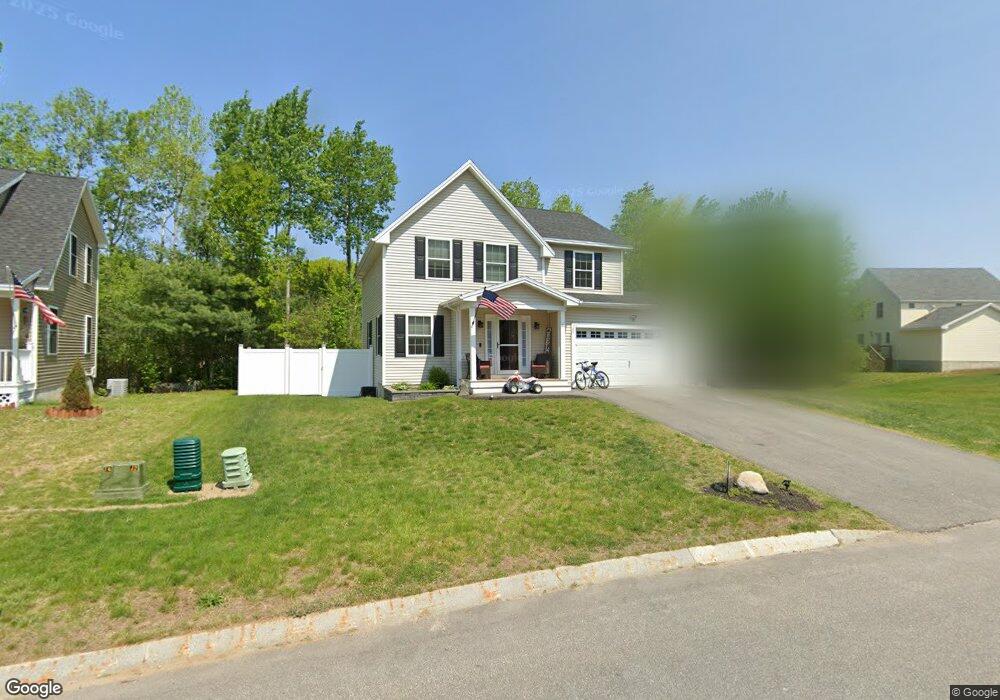
31 Rangeway Dr Rochester, NH 03868
Estimated Value: $544,000 - $572,000
3
Beds
3
Baths
1,667
Sq Ft
$332/Sq Ft
Est. Value
About This Home
This home is located at 31 Rangeway Dr, Rochester, NH 03868 and is currently estimated at $552,680, approximately $331 per square foot. 31 Rangeway Dr is a home located in Strafford County with nearby schools including Chamberlain Street School, Rochester Middle School, and Spaulding High School.
Ownership History
Date
Name
Owned For
Owner Type
Purchase Details
Closed on
Nov 14, 2018
Sold by
J & L Terra Holdings Inc
Bought by
Levesque David W and Levesque April J
Current Estimated Value
Home Financials for this Owner
Home Financials are based on the most recent Mortgage that was taken out on this home.
Original Mortgage
$252,200
Outstanding Balance
$221,306
Interest Rate
4.7%
Mortgage Type
Unknown
Estimated Equity
$331,374
Create a Home Valuation Report for This Property
The Home Valuation Report is an in-depth analysis detailing your home's value as well as a comparison with similar homes in the area
Home Values in the Area
Average Home Value in this Area
Purchase History
| Date | Buyer | Sale Price | Title Company |
|---|---|---|---|
| Levesque David W | $260,000 | -- |
Source: Public Records
Mortgage History
| Date | Status | Borrower | Loan Amount |
|---|---|---|---|
| Open | Levesque David W | $252,200 |
Source: Public Records
Tax History Compared to Growth
Tax History
| Year | Tax Paid | Tax Assessment Tax Assessment Total Assessment is a certain percentage of the fair market value that is determined by local assessors to be the total taxable value of land and additions on the property. | Land | Improvement |
|---|---|---|---|---|
| 2024 | $6,855 | $461,600 | $74,500 | $387,100 |
| 2023 | $6,790 | $263,800 | $37,500 | $226,300 |
| 2022 | $6,669 | $263,800 | $37,500 | $226,300 |
| 2021 | $6,503 | $263,800 | $37,500 | $226,300 |
| 2020 | $6,443 | $261,800 | $37,500 | $224,300 |
| 2019 | $6,519 | $261,800 | $37,500 | $224,300 |
| 2018 | $1,079 | $39,200 | $39,200 | $0 |
| 2017 | $1,032 | $39,200 | $39,200 | $0 |
| 2016 | $1,108 | $39,200 | $39,200 | $0 |
| 2015 | $11 | $400 | $400 | $0 |
| 2014 | $11 | $400 | $400 | $0 |
| 2013 | $13 | $500 | $500 | $0 |
| 2012 | $13 | $500 | $500 | $0 |
Source: Public Records
Map
Nearby Homes
- 79 Millers Farm Dr
- 8 Perimeter Dr
- 157 Wakefield St
- 180 Chestnut Hill Rd
- 22 Cherokee Way
- 5 Monadnock Dr
- 30 Cherokee Way
- 74 Seneca St
- 49 Shiloh Dr
- 2 Cape Coral Way Unit A
- 2 Cape Coral Way Unit B
- 16 Nashoba Dr
- 2 Freedom Dr
- 10 Lady Slipper Ct
- 105 Wakefield St
- 3 Freedom Dr Unit 17
- 13 Miami Way Unit B
- 14 1/2 Yvonne St
- 32 Monadnock Dr
- 22 Trade Wind Ln
- 31 Rangeway Dr Unit 77
- 33 Rangeway Dr Unit 78
- 33 Rangeway Dr Unit 36
- 33 Rangeway Dr
- 8 Winch Way
- 35 Rangeway Dr
- 35 Rangeway Dr Unit 79 )
- 6 Winch Way
- 36 Millers Farm Dr
- 106 Rangeway Dr (Lot 91)
- 40 Millers Farm Dr Unit 85)
- 32 Rangeway Dr Unit 10 )
- 34 Rangeway Dr
- 34 Millers Farm Dr
- 34 Millers Farm Dr Unit 87
- 4 Winch Way
- 28 Rangeway Dr
- 36 Rangeway Dr
- 36 Rangeway Dr
- 30 Millers Farm Dr