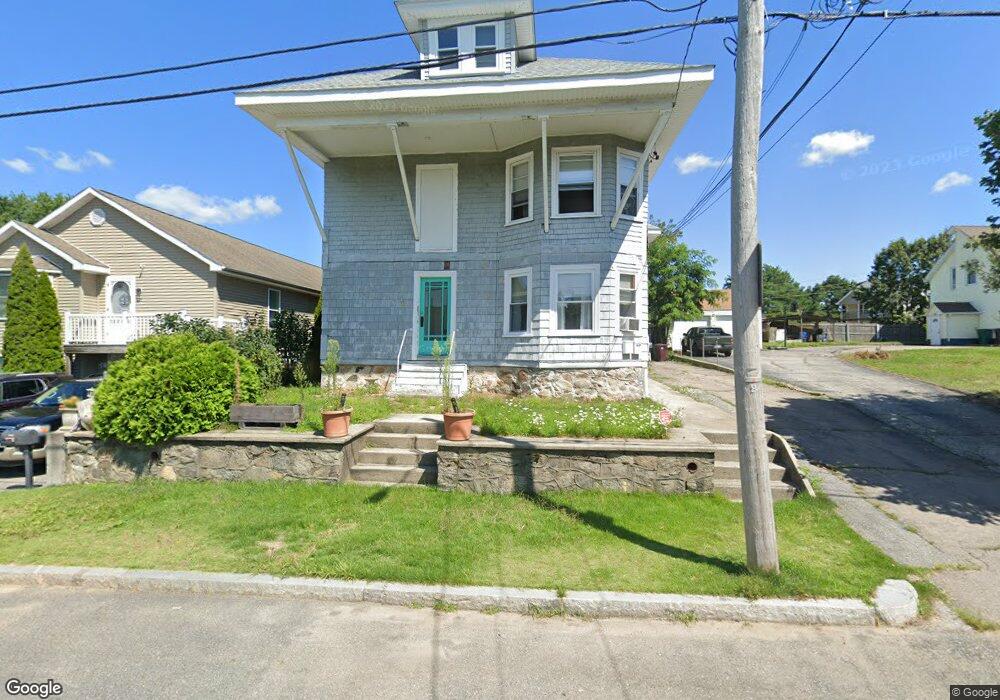
31 Saint Simon St Woonsocket, RI 02895
Bernon District NeighborhoodEstimated Value: $438,266 - $516,000
4
Beds
2
Baths
2,574
Sq Ft
$187/Sq Ft
Est. Value
About This Home
This home is located at 31 Saint Simon St, Woonsocket, RI 02895 and is currently estimated at $480,567, approximately $186 per square foot. 31 Saint Simon St is a home located in Providence County with nearby schools including Woonsocket High School, Rise Prep Mayoral Academy Middle School, and Rise Prep Mayoral Academy.
Ownership History
Date
Name
Owned For
Owner Type
Purchase Details
Closed on
May 25, 2018
Sold by
Wells Fargo Bank Na
Bought by
Farrell Family Homes L
Current Estimated Value
Purchase Details
Closed on
May 23, 2005
Sold by
Haworth Cariton D and Haworth Nancy S
Bought by
Farquhar Gerald and Duarte Debra
Purchase Details
Closed on
Feb 26, 1998
Sold by
Ruo Margaret T
Bought by
Haworth Carlton D
Create a Home Valuation Report for This Property
The Home Valuation Report is an in-depth analysis detailing your home's value as well as a comparison with similar homes in the area
Home Values in the Area
Average Home Value in this Area
Purchase History
| Date | Buyer | Sale Price | Title Company |
|---|---|---|---|
| Farrell Family Homes L | $116,500 | -- | |
| Farrell Family Homes L | $116,500 | -- | |
| Farquhar Gerald | $266,000 | -- | |
| Farquhar Gerald | $266,000 | -- | |
| Haworth Carlton D | $87,000 | -- | |
| Haworth Carlton D | $87,000 | -- |
Source: Public Records
Mortgage History
| Date | Status | Borrower | Loan Amount |
|---|---|---|---|
| Previous Owner | Haworth Carlton D | $158,646 | |
| Previous Owner | Haworth Carlton D | $291,000 |
Source: Public Records
Tax History
| Year | Tax Paid | Tax Assessment Tax Assessment Total Assessment is a certain percentage of the fair market value that is determined by local assessors to be the total taxable value of land and additions on the property. | Land | Improvement |
|---|---|---|---|---|
| 2025 | $4,986 | $444,000 | $105,400 | $338,600 |
| 2024 | $4,378 | $301,100 | $93,500 | $207,600 |
| 2023 | $4,209 | $301,100 | $93,500 | $207,600 |
| 2022 | $4,209 | $301,100 | $93,500 | $207,600 |
| 2021 | $3,878 | $163,300 | $57,800 | $105,500 |
| 2020 | $3,919 | $163,300 | $57,800 | $105,500 |
| 2018 | $3,932 | $163,300 | $57,800 | $105,500 |
| 2017 | $4,184 | $139,000 | $46,000 | $93,000 |
| 2016 | $4,426 | $139,000 | $46,000 | $93,000 |
| 2015 | $5,085 | $139,000 | $46,000 | $93,000 |
| 2014 | $4,477 | $136,900 | $50,500 | $86,400 |
Source: Public Records
Map
Nearby Homes
- 414 Rhode Island Ave
- 216 Bertenshaw Rd
- 410 Carrington Ave
- 345 Carrington Ave
- 0 Irving Lot 206 Ave Unit 1397321
- 346 Carrington Ave
- 74 Maple St
- 59 Division St
- 219 Crawford St
- 190 Crawford St
- 526 Bernon St
- 24 Paradis Ave
- 0 Irving Lot 192 Ave Unit 1383138
- 39 Louise St
- 233 Grove St
- 59 Cooper Ave
- 375 Congress St
- 0 Hillview St
- 18 Villa Nova St
- 15 Knight St
- 31 Saint Simon St Unit 2
- 31 Saint Simon St Unit 1
- 39 Saint Simon St
- 619 Manville Rd
- 47 Saint Simon St
- 0 St Simon St Unit 801165
- 0 St Simon St Unit 1286359
- 0 St Simon St Unit 1272175
- 36 Saint Simon St
- 0 Saint Simon St
- 24 Saint Simon St
- 59 Saint Simon St
- 10 Saint Simon St
- 6 Mount Saint Charles Ave
- 34 Mount Saint Charles Ave
- 3 Saint Hughes St
- 40 Mount Saint Charles Ave
- 54 Mount Saint Charles Ave
- 592 Manville Rd
- 30 Saint Hughes St
Your Personal Tour Guide
Ask me questions while you tour the home.