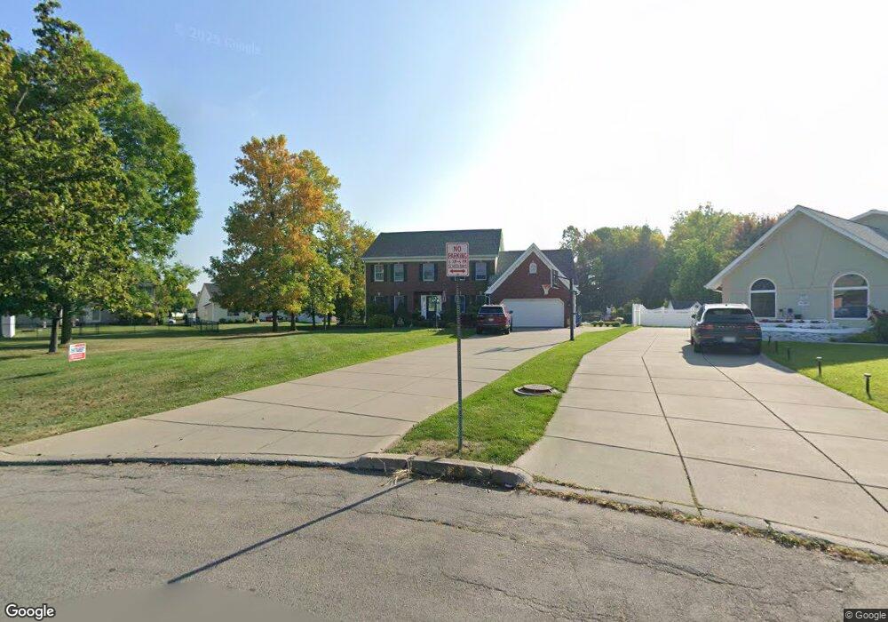
31 Via Pinto Dr Buffalo, NY 14221
East Amherst NeighborhoodEstimated Value: $628,000 - $852,000
4
Beds
3
Baths
2,808
Sq Ft
$254/Sq Ft
Est. Value
About This Home
This home is located at 31 Via Pinto Dr, Buffalo, NY 14221 and is currently estimated at $713,397, approximately $254 per square foot. 31 Via Pinto Dr is a home located in Erie County with nearby schools including Maple East Elementary School, Transit Middle School, and Williamsville East High School.
Ownership History
Date
Name
Owned For
Owner Type
Purchase Details
Closed on
Nov 13, 2009
Sold by
Molnar Rebecca
Bought by
Kern Brian E and Kern Kimberly C
Current Estimated Value
Home Financials for this Owner
Home Financials are based on the most recent Mortgage that was taken out on this home.
Original Mortgage
$258,700
Outstanding Balance
$168,748
Interest Rate
4.98%
Mortgage Type
New Conventional
Estimated Equity
$544,649
Purchase Details
Closed on
Jul 10, 2006
Sold by
Grooms Thomas J and Grooms Eileen
Bought by
Molnar Rebecca
Home Financials for this Owner
Home Financials are based on the most recent Mortgage that was taken out on this home.
Original Mortgage
$278,892
Interest Rate
6.6%
Mortgage Type
Purchase Money Mortgage
Purchase Details
Closed on
Oct 27, 1994
Sold by
J G Pinto Enterprises In C
Bought by
Divita James R and Divita Dolores
Create a Home Valuation Report for This Property
The Home Valuation Report is an in-depth analysis detailing your home's value as well as a comparison with similar homes in the area
Home Values in the Area
Average Home Value in this Area
Purchase History
| Date | Buyer | Sale Price | Title Company |
|---|---|---|---|
| Kern Brian E | $323,400 | None Available | |
| Molnar Rebecca | $305,000 | None Available | |
| Divita James R | $40,000 | -- |
Source: Public Records
Mortgage History
| Date | Status | Borrower | Loan Amount |
|---|---|---|---|
| Open | Kern Brian E | $258,700 | |
| Previous Owner | Molnar Rebecca | $278,892 |
Source: Public Records
Tax History Compared to Growth
Tax History
| Year | Tax Paid | Tax Assessment Tax Assessment Total Assessment is a certain percentage of the fair market value that is determined by local assessors to be the total taxable value of land and additions on the property. | Land | Improvement |
|---|---|---|---|---|
| 2024 | -- | $570,000 | $95,000 | $475,000 |
| 2023 | $12,104 | $352,000 | $95,000 | $257,000 |
| 2022 | $11,164 | $352,000 | $95,000 | $257,000 |
| 2021 | $10,946 | $352,000 | $95,000 | $257,000 |
| 2020 | $10,082 | $352,000 | $95,000 | $257,000 |
| 2019 | $9,855 | $352,000 | $95,000 | $257,000 |
| 2018 | $9,668 | $352,000 | $95,000 | $257,000 |
| 2017 | $4,184 | $352,000 | $95,000 | $257,000 |
| 2016 | $10,108 | $331,100 | $48,800 | $282,300 |
| 2015 | -- | $331,100 | $48,800 | $282,300 |
| 2014 | -- | $331,100 | $48,800 | $282,300 |
Source: Public Records
Map
Nearby Homes
- 540 Bauman Rd
- 507 Bauman Rd
- 9 Dante Ct
- 1175 Youngs Rd Unit E
- 106 Promenade Ln
- 73 Treebrooke Ct
- 85 Galileo Dr
- 1095 Youngs Rd Unit E
- 11 Sanctuary Ct
- 487 Teakwood Terrace
- 158 6th Ave
- 221 Country Pkwy
- 47 Nature Cove Ct
- 48 Presidio Place
- 336 Fruitwood Terrace
- 1240 Youngs Rd Unit H
- 117 Lord Byron Ln
- 284 Patrice Terrace
- 222 Lord Byron Ln
- 4 Macarthur Dr
- 25 Via Pinto Dr
- 119 Crown Royal Dr
- 37 Via Pinto Dr
- 127 Crown Royal Dr
- 111 Crown Royal Dr
- 19 Via Pinto Dr
- 135 Crown Royal Dr
- 103 Crown Royal Dr
- 143 Crown Royal Dr
- 13 Via Pinto Dr
- 95 Crown Royal Dr
- 79 Mapleleaf Dr
- 85 Mapleleaf Dr
- 91 Mapleleaf Dr
- 73 Mapleleaf Dr
- 97 Mapleleaf Dr
- 87 Crown Royal Dr
- 151 Crown Royal Dr
- 49 Via Pinto Dr
- 67 Mapleleaf Dr