31 Walkeridge Dr Unit U49 Nashua, NH 03062
West Hollis NeighborhoodEstimated Value: $401,347 - $442,000
2
Beds
3
Baths
1,282
Sq Ft
$327/Sq Ft
Est. Value
About This Home
This home is located at 31 Walkeridge Dr Unit U49, Nashua, NH 03062 and is currently estimated at $419,337, approximately $327 per square foot. 31 Walkeridge Dr Unit U49 is a home located in Hillsborough County with nearby schools including Ledge Street Elementary School, Elm Street Middle School, and Nashua High School South.
Ownership History
Date
Name
Owned For
Owner Type
Purchase Details
Closed on
Mar 21, 2023
Sold by
Gillette Hildegrad M
Bought by
Hildgard M Gillette Ret
Current Estimated Value
Purchase Details
Closed on
Nov 15, 2004
Sold by
41 Heritage Nt
Bought by
Gillette Bruce W and Gillette Hildegard M
Home Financials for this Owner
Home Financials are based on the most recent Mortgage that was taken out on this home.
Original Mortgage
$40,000
Interest Rate
5.75%
Mortgage Type
Purchase Money Mortgage
Create a Home Valuation Report for This Property
The Home Valuation Report is an in-depth analysis detailing your home's value as well as a comparison with similar homes in the area
Home Values in the Area
Average Home Value in this Area
Purchase History
| Date | Buyer | Sale Price | Title Company |
|---|---|---|---|
| Hildgard M Gillette Ret | -- | None Available | |
| Gillette Bruce W | $245,000 | -- |
Source: Public Records
Mortgage History
| Date | Status | Borrower | Loan Amount |
|---|---|---|---|
| Previous Owner | Gillette Bruce W | $40,000 |
Source: Public Records
Tax History
| Year | Tax Paid | Tax Assessment Tax Assessment Total Assessment is a certain percentage of the fair market value that is determined by local assessors to be the total taxable value of land and additions on the property. | Land | Improvement |
|---|---|---|---|---|
| 2025 | $6,732 | $400,000 | $0 | $400,000 |
| 2024 | $6,360 | $400,000 | $0 | $400,000 |
| 2023 | $5,855 | $321,200 | $0 | $321,200 |
| 2022 | $5,804 | $321,200 | $0 | $321,200 |
| 2021 | $5,050 | $217,500 | $0 | $217,500 |
| 2020 | $4,909 | $217,100 | $0 | $217,100 |
| 2019 | $4,724 | $217,100 | $0 | $217,100 |
| 2018 | $4,605 | $217,100 | $0 | $217,100 |
| 2017 | $4,137 | $160,400 | $0 | $160,400 |
| 2016 | $4,021 | $160,400 | $0 | $160,400 |
| 2015 | $3,935 | $160,400 | $0 | $160,400 |
| 2014 | $3,894 | $161,900 | $0 | $161,900 |
Source: Public Records
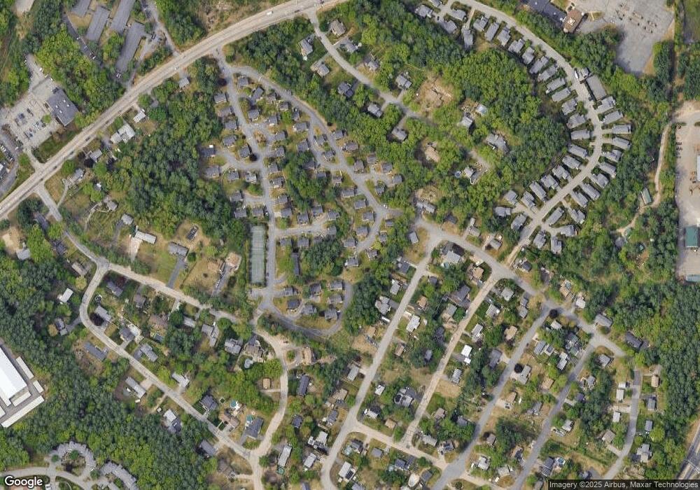
Map
Nearby Homes
- 8 Althea Ln Unit U26
- 40 Hollow Ridge Dr
- 14 Millbrook Dr
- 247 Main Dunstable Rd
- 9 Leslie Ln
- 45 Dogwood Dr Unit U208
- 47 Dogwood Dr Unit U202
- 21 Parkhurst Dr
- 23 Spring Cove Rd Unit U152
- 668 W Hollis St
- 30 Spring Cove Rd Unit U112
- 2 Henry David Dr Unit 207
- 4 Kittery Dr
- 4 Henry David Dr Unit 103
- 4 Henry David Dr Unit 203
- 5 Lowther Place Unit U6
- 36 Silverton Dr Unit U85
- 103 Saranac Dr
- 7 Meghan Dr Unit U22
- 22 Kern Dr
- 29 Walkeridge Dr Unit U50
- 32 Walkeridge Dr Unit U48
- 11 Nigel Ln Unit U15
- 30 Walkeridge Dr Unit U47
- 9 Nigel Ln Unit U16
- 27 Walkeridge Dr Unit U51
- 10 Nigel Ln Unit U14
- 28 Walkeridge Dr Unit U46
- 14 Althea Ln Unit U23
- 26 Walkeridge Dr Unit U45
- 7 Nigel Ln Unit U17
- 8 Nigel Ln Unit U13
- 25 Walkeridge Dr Unit U52
- 23 Walkeridge Dr Unit U53
- 6 Nigel Ln Unit U12
- 6 Althea Ln Unit U22
- 26 Portchester Dr
- 12 Althea Ln Unit U24
- 28 Landsdown Dr Unit U19
- 24 Portchester Dr
Your Personal Tour Guide
Ask me questions while you tour the home.