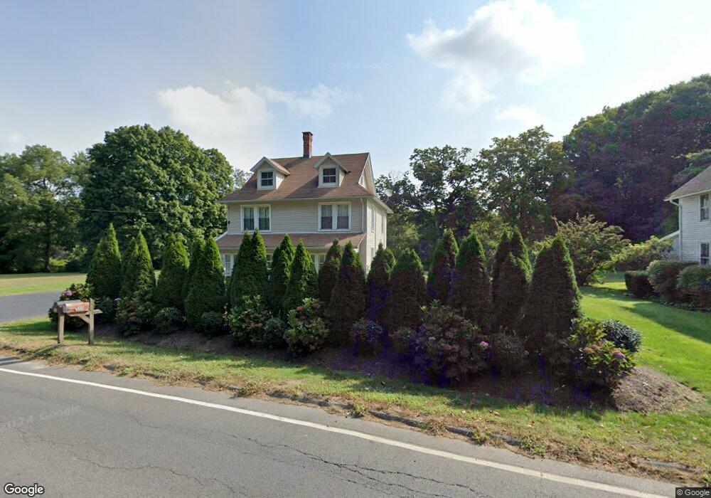
31 Westbrook Rd Centerbrook, CT 06409
Estimated Value: $432,000 - $464,000
4
Beds
2
Baths
1,542
Sq Ft
$289/Sq Ft
Est. Value
About This Home
This home is located at 31 Westbrook Rd, Centerbrook, CT 06409 and is currently estimated at $445,501, approximately $288 per square foot. 31 Westbrook Rd is a home located in Middlesex County with nearby schools including Valley Regional High School.
Ownership History
Date
Name
Owned For
Owner Type
Purchase Details
Closed on
Apr 1, 1996
Sold by
Cutone John L and Spring Marie T
Bought by
Hougrand Robert W and Hougrand Joanne L
Current Estimated Value
Create a Home Valuation Report for This Property
The Home Valuation Report is an in-depth analysis detailing your home's value as well as a comparison with similar homes in the area
Home Values in the Area
Average Home Value in this Area
Purchase History
| Date | Buyer | Sale Price | Title Company |
|---|---|---|---|
| Hougrand Robert W | $142,200 | -- | |
| Hougrand Robert W | $142,200 | -- |
Source: Public Records
Mortgage History
| Date | Status | Borrower | Loan Amount |
|---|---|---|---|
| Open | Hougrand Robert W | $162,224 | |
| Closed | Hougrand Robert W | $166,500 | |
| Closed | Hougrand Robert W | $24,837 | |
| Closed | Hougrand Robert W | $27,867 |
Source: Public Records
Tax History
| Year | Tax Paid | Tax Assessment Tax Assessment Total Assessment is a certain percentage of the fair market value that is determined by local assessors to be the total taxable value of land and additions on the property. | Land | Improvement |
|---|---|---|---|---|
| 2025 | $4,833 | $259,400 | $74,100 | $185,300 |
| 2024 | $4,682 | $259,400 | $74,100 | $185,300 |
| 2023 | $4,342 | $192,200 | $69,200 | $123,000 |
| 2022 | $4,381 | $193,400 | $69,200 | $124,200 |
| 2021 | $6,806 | $193,400 | $69,200 | $124,200 |
| 2020 | $6,554 | $193,400 | $69,200 | $124,200 |
| 2019 | $4,187 | $193,400 | $69,200 | $124,200 |
| 2018 | $4,530 | $207,300 | $57,700 | $149,600 |
| 2017 | $4,552 | $207,300 | $57,700 | $149,600 |
| 2016 | $4,474 | $207,300 | $57,700 | $149,600 |
| 2015 | $4,370 | $207,300 | $57,700 | $149,600 |
| 2014 | $4,351 | $207,300 | $57,700 | $149,600 |
Source: Public Records
Map
Nearby Homes
- 33 Deep River Rd
- 108 Westbrook Rd
- 3 Donald Rd Extension
- 1 Verona St
- 101 N Main St
- 56 S Main St
- 38 Prospect St
- 130 Mares Hill Rd
- 29 Mitchel Terrace
- 44 N Main St
- 16 N Main St
- 4 Bank Ln
- 11 N Main St
- 31 N Main St
- 45 Main St
- 10 Cove Hill Rd
- 16 Navy Ln
- 89 Book Hill Rd
- 9 Essex Hills Dr
- Lot 2 - 160 Saybrook Rd
- 33 Westbrook Rd
- 32 Westbrook Rd
- 21 Westbrook Rd
- 78 Main St
- 78 Main St Unit A
- 78 Main St Unit B
- 151 Main St
- 155 Main St
- 32 Westbrook Rd
- 28 Westbrook Rd
- 36 Westbrook Rd
- 76 Main St
- 40 Westbrook Rd
- 72 Main St
- 149 Main St
- 43 Westbrook Rd
- 70 Main St
- 44 Westbrook Rd
- 9 Industrial Road (Aka 76a Main St) Rd
- 45 Westbrook Rd
Your Personal Tour Guide
Ask me questions while you tour the home.