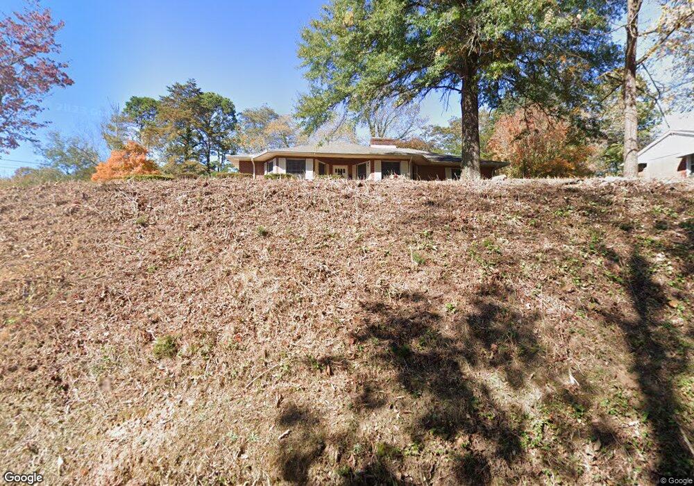
310 Maple St Clinton, TN 37716
Estimated Value: $311,008 - $394,000
Studio
2
Baths
1,892
Sq Ft
$195/Sq Ft
Est. Value
About This Home
This home is located at 310 Maple St, Clinton, TN 37716 and is currently estimated at $369,002, approximately $195 per square foot. 310 Maple St is a home located in Anderson County with nearby schools including Clinton Elementary School and Clinton High School.
Ownership History
Date
Name
Owned For
Owner Type
Purchase Details
Closed on
Mar 12, 2018
Sold by
Ballew Tressa and Mclane Tressa L
Bought by
Mclane Samuel D
Current Estimated Value
Purchase Details
Closed on
Sep 17, 1998
Sold by
Valentine James S
Bought by
Mclane Samuel D
Home Financials for this Owner
Home Financials are based on the most recent Mortgage that was taken out on this home.
Original Mortgage
$106,211
Outstanding Balance
$21,584
Interest Rate
6.92%
Estimated Equity
$347,418
Create a Home Valuation Report for This Property
The Home Valuation Report is an in-depth analysis detailing your home's value as well as a comparison with similar homes in the area
Home Values in the Area
Average Home Value in this Area
Purchase History
| Date | Buyer | Sale Price | Title Company |
|---|---|---|---|
| Mclane Samuel D | -- | Paramount Land Ttl Of Knoxvi | |
| Mclane Samuel D | $106,390 | -- |
Source: Public Records
Mortgage History
| Date | Status | Borrower | Loan Amount |
|---|---|---|---|
| Open | Mclane Samuel D | $106,211 |
Source: Public Records
Tax History
| Year | Tax Paid | Tax Assessment Tax Assessment Total Assessment is a certain percentage of the fair market value that is determined by local assessors to be the total taxable value of land and additions on the property. | Land | Improvement |
|---|---|---|---|---|
| 2025 | $372 | $105,175 | $15,625 | $89,550 |
| 2024 | $372 | $42,975 | $7,025 | $35,950 |
| 2023 | $1,118 | $42,975 | $0 | $0 |
| 2022 | $1,490 | $42,975 | $7,025 | $35,950 |
| 2021 | $1,490 | $42,975 | $7,025 | $35,950 |
| 2020 | $1,353 | $42,975 | $7,025 | $35,950 |
| 2019 | $1,390 | $36,575 | $7,025 | $29,550 |
| 2018 | $1,353 | $36,575 | $7,025 | $29,550 |
| 2017 | $1,353 | $36,575 | $7,025 | $29,550 |
| 2016 | $1,353 | $36,575 | $7,025 | $29,550 |
| 2015 | -- | $36,575 | $7,025 | $29,550 |
| 2014 | -- | $36,575 | $7,025 | $29,550 |
| 2013 | -- | $39,900 | $0 | $0 |
Source: Public Records
Map
Nearby Homes
- 501 Westbury Dr
- 405 Central St
- 400 Marshall St
- 220 Nancy Ln
- 400 N Main St
- 311 Spring St
- 518 N Main St
- 103 Highland Ave
- 201 W Washington Ave
- 512 Carlock St
- 415 Hollingsworth Cir
- 303 Hillcrest St
- 620 Cagle St
- 101 E Maire Ave
- 134 Jarnigan Chapel Rd
- 606 Eagle Bend Rd
- 729 N Charles G Seivers Blvd
- 818 Medaris St
- 501 Hillcrest St
- 312 Westwood Dr
Your Personal Tour Guide
Ask me questions while you tour the home.