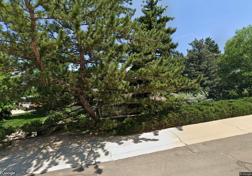
310 Overlook Dr Boulder, CO 80305
South Boulder NeighborhoodEstimated Value: $1,867,000 - $2,303,818
3
Beds
3
Baths
2,300
Sq Ft
$871/Sq Ft
Est. Value
About This Home
This home is located at 310 Overlook Dr, Boulder, CO 80305 and is currently estimated at $2,004,205, approximately $871 per square foot. 310 Overlook Dr is a home located in Boulder County with nearby schools including Creekside Elementary School, Bear Creek Elementary School, and Southern Hills Middle School.
Ownership History
Date
Name
Owned For
Owner Type
Purchase Details
Closed on
Apr 7, 2004
Sold by
Nykamp Florence L
Bought by
Brown Stanley M
Current Estimated Value
Home Financials for this Owner
Home Financials are based on the most recent Mortgage that was taken out on this home.
Original Mortgage
$333,700
Interest Rate
5.57%
Mortgage Type
Purchase Money Mortgage
Purchase Details
Closed on
Feb 16, 1989
Bought by
Brown Stanley M and Brown Pamela Barsam-Brown
Create a Home Valuation Report for This Property
The Home Valuation Report is an in-depth analysis detailing your home's value as well as a comparison with similar homes in the area
Home Values in the Area
Average Home Value in this Area
Purchase History
| Date | Buyer | Sale Price | Title Company |
|---|---|---|---|
| Brown Stanley M | $623,000 | -- | |
| Brown Stanley M | -- | -- |
Source: Public Records
Mortgage History
| Date | Status | Borrower | Loan Amount |
|---|---|---|---|
| Previous Owner | Brown Stanley M | $333,700 |
Source: Public Records
Tax History
| Year | Tax Paid | Tax Assessment Tax Assessment Total Assessment is a certain percentage of the fair market value that is determined by local assessors to be the total taxable value of land and additions on the property. | Land | Improvement |
|---|---|---|---|---|
| 2025 | $14,769 | $158,188 | $105,769 | $52,419 |
| 2024 | $14,769 | $158,188 | $105,769 | $52,419 |
| 2023 | $14,513 | $174,756 | $113,063 | $65,379 |
| 2022 | $12,732 | $144,053 | $78,869 | $65,184 |
| 2021 | $12,141 | $148,198 | $81,138 | $67,060 |
| 2020 | $10,915 | $132,540 | $103,246 | $29,294 |
| 2019 | $10,748 | $132,540 | $103,246 | $29,294 |
| 2018 | $9,988 | $122,400 | $79,560 | $42,840 |
| 2017 | $9,675 | $170,248 | $87,958 | $82,290 |
| 2016 | $8,613 | $107,460 | $55,242 | $52,218 |
| 2015 | $8,156 | $91,142 | $32,716 | $58,426 |
| 2014 | $7,663 | $91,142 | $32,716 | $58,426 |
Source: Public Records
Map
Nearby Homes
- 2585 Kohler Dr
- 2235 Vassar Dr
- 2955 Stanford Ave
- 3000 Dartmouth Ave
- 1965 Kohler Dr
- 1865 Kohler Dr
- 245 Fair Place
- 2860 Table Mesa Dr
- 2250 Bluebell Ave
- 345 S 38th St
- 370 20th St
- 2032 Mariposa Ave
- 3805 Martin Dr
- 210 S 39th St
- 2221 Columbine Ave
- 2030 Columbine Ave
- 450 S 41st St
- 1498 King Ave
- 1550 Bluebell Ave
- 2141 Baseline Rd Unit 18
- 2530 Kenwood Dr
- 325 Overlook Dr
- 2505 Kenwood Dr
- 2490 Kenwood Dr
- 2535 Kenwood Dr
- 330 Overlook Dr
- 2495 Kenwood Dr
- 2565 Kenwood Dr
- 2475 Kenwood Dr
- 2560 Kenwood Dr
- 2440 Kenwood Dr
- 2500 Dartmouth Ave
- 2530 Dartmouth Ave
- 355 Overlook Dr
- 2460 Dartmouth Ave
- 2560 Dartmouth Ave
- 350 Overlook Dr
- 2455 Kenwood Dr
- 2590 Dartmouth Ave
- 2440 Dartmouth Ave
Your Personal Tour Guide
Ask me questions while you tour the home.