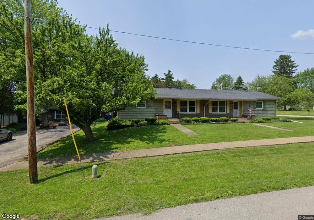
310 Read St Unit 312 Elburn, IL 60119
Estimated Value: $290,000 - $381,000
Studio
--
Bath
--
Sq Ft
9,757
Sq Ft Lot
About This Home
This home is located at 310 Read St Unit 312, Elburn, IL 60119 and is currently estimated at $348,066. 310 Read St Unit 312 is a home located in Kane County with nearby schools including Kaneland John Stewart Elementary School, Harter Middle School, and Kaneland High School.
Ownership History
Date
Name
Owned For
Owner Type
Purchase Details
Closed on
Mar 17, 2026
Sold by
Circuit Court Of Kane County and Winter Eric N
Bought by
Winter Carrie
Current Estimated Value
Purchase Details
Closed on
Aug 15, 2017
Sold by
Cornell Lany D
Bought by
Lisson Winter Carrie A and Winter Eric
Home Financials for this Owner
Home Financials are based on the most recent Mortgage that was taken out on this home.
Original Mortgage
$162,011
Interest Rate
3.62%
Mortgage Type
FHA
Purchase Details
Closed on
Feb 17, 2010
Sold by
Cornell Larry D
Bought by
Cornell Larry D
Purchase Details
Closed on
Jan 31, 2008
Sold by
Cornell Larry D
Bought by
Cornell Larry D and Larry D Cornell Trust
Purchase Details
Closed on
Dec 28, 2007
Sold by
Cornell Larry D
Bought by
Cornell Larry D
Purchase Details
Closed on
Sep 11, 2007
Sold by
Cornell Larry D and Cornell Larry
Bought by
Cornell Larry D and Larry D Cornell Trust
Create a Home Valuation Report for This Property
The Home Valuation Report is an in-depth analysis detailing your home's value as well as a comparison with similar homes in the area
Home Values in the Area
Average Home Value in this Area
Purchase History
| Date | Buyer | Sale Price | Title Company |
|---|---|---|---|
| Winter Carrie | -- | None Listed On Document | |
| Lisson Winter Carrie A | $165,000 | Chicago Title Ins Co | |
| Cornell Larry D | -- | Chicago Title Insurance Co | |
| Cornell Larry D | -- | None Available | |
| Cornell Larry D | -- | Chicago Title Insurance Co | |
| Cornell Larry D | -- | None Available |
Source: Public Records
Mortgage History
| Date | Status | Borrower | Loan Amount |
|---|---|---|---|
| Previous Owner | Lisson Winter Carrie A | $162,011 |
Source: Public Records
Tax History
| Year | Tax Paid | Tax Assessment Tax Assessment Total Assessment is a certain percentage of the fair market value that is determined by local assessors to be the total taxable value of land and additions on the property. | Land | Improvement |
|---|---|---|---|---|
| 2024 | $8,794 | $112,327 | $11,602 | $100,725 |
| 2023 | $8,472 | $101,378 | $10,471 | $90,907 |
| 2022 | $7,269 | $83,648 | $9,610 | $74,038 |
| 2021 | $7,027 | $80,061 | $9,198 | $70,863 |
| 2020 | $6,904 | $78,184 | $8,982 | $69,202 |
| 2019 | $6,792 | $75,858 | $8,850 | $67,008 |
| 2018 | $5,477 | $61,183 | $8,850 | $52,333 |
| 2017 | $6,079 | $60,487 | $8,749 | $51,738 |
| 2016 | $6,122 | $59,131 | $8,518 | $50,613 |
| 2015 | -- | $53,236 | $8,186 | $45,050 |
| 2014 | -- | $53,077 | $9,108 | $43,969 |
| 2013 | -- | $53,077 | $9,108 | $43,969 |
Source: Public Records
Map
Nearby Homes
- 410 W Reader St
- 214 Read St
- 526 N Main St
- 844 N 1st St
- 875 Station Blvd
- 620 Ridge Dr
- 516 Banbury Ave
- 000 Illinois 47
- 644 Houtz Cir
- Lot 77 Houtz Cir
- 276 Ream Dr
- 607 Virginia St
- 815 Kindberg Ct
- 713 Elizabeth St
- 645 Virginia St
- 1076 Freedom Rd
- 1038 Veteran Ave
- 1123 Sears Cir
- 42W613 Meadowsweet Dr
- 1167 Freedom Rd
Your Personal Tour Guide
Ask me questions while you tour the home.