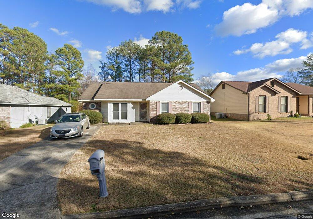
3100 Lansing Ave Columbus, GA 31907
Eastern Columbus NeighborhoodEstimated Value: $125,855 - $166,000
3
Beds
3
Baths
1,326
Sq Ft
$113/Sq Ft
Est. Value
About This Home
This home is located at 3100 Lansing Ave, Columbus, GA 31907 and is currently estimated at $150,214, approximately $113 per square foot. 3100 Lansing Ave is a home located in Muscogee County with nearby schools including Forrest Road Elementary School, Fort Middle School, and Kendrick High School.
Ownership History
Date
Name
Owned For
Owner Type
Purchase Details
Closed on
Jun 25, 2010
Sold by
Wright Frances L
Bought by
Mcneill Maurdrice L
Current Estimated Value
Home Financials for this Owner
Home Financials are based on the most recent Mortgage that was taken out on this home.
Original Mortgage
$99,642
Outstanding Balance
$66,452
Interest Rate
4.87%
Mortgage Type
FHA
Estimated Equity
$83,762
Create a Home Valuation Report for This Property
The Home Valuation Report is an in-depth analysis detailing your home's value as well as a comparison with similar homes in the area
Home Values in the Area
Average Home Value in this Area
Purchase History
| Date | Buyer | Sale Price | Title Company |
|---|---|---|---|
| Mcneill Maurdrice L | $101,000 | None Available |
Source: Public Records
Mortgage History
| Date | Status | Borrower | Loan Amount |
|---|---|---|---|
| Open | Mcneill Maurdrice L | $99,642 |
Source: Public Records
Tax History Compared to Growth
Tax History
| Year | Tax Paid | Tax Assessment Tax Assessment Total Assessment is a certain percentage of the fair market value that is determined by local assessors to be the total taxable value of land and additions on the property. | Land | Improvement |
|---|---|---|---|---|
| 2025 | $1,414 | $36,128 | $6,908 | $29,220 |
| 2024 | $1,414 | $36,128 | $6,908 | $29,220 |
| 2023 | $1,423 | $36,128 | $6,908 | $29,220 |
| 2022 | $1,257 | $30,776 | $6,908 | $23,868 |
| 2021 | $1,243 | $30,452 | $6,908 | $23,544 |
| 2020 | $1,244 | $30,452 | $6,908 | $23,544 |
| 2019 | $1,248 | $30,452 | $6,908 | $23,544 |
| 2018 | $1,248 | $30,452 | $6,908 | $23,544 |
| 2017 | $1,252 | $30,452 | $6,908 | $23,544 |
| 2016 | $1,667 | $40,400 | $3,790 | $36,610 |
| 2015 | $1,121 | $40,400 | $3,790 | $36,610 |
| 2014 | $1,123 | $40,400 | $3,790 | $36,610 |
| 2013 | -- | $40,400 | $3,790 | $36,610 |
Source: Public Records
Map
Nearby Homes
- 3301 Musket Dr
- 3027 Lansing Ave
- 6000 Caribou Dr
- 2940 Urban Ave
- 6028 Caribou Dr
- 5906 Forrest Rd
- 6059 Nassau Cir
- 2672 Honeysuckle Dr
- 2807 Doyle Ave
- 2525 Corineth Dr
- 5929 Gleneden Dr
- 5833 Gleneden Dr
- 5260 Woodruff Farm Rd
- 5018 Woodruff Farm Rd
- 2942 Poppy Seed Loop
- 5920 Gleneden Dr
- 2708 Courtland Ave
- 3041 Waddell Dr
- 2501 White Chapel Dr
- 6916 Bradshaw Dr
- 3040 Lansing Ave
- 3106 Lansing Ave
- 3034 Lansing Ave
- 3110 Lansing Ave
- 3139 Huntwood Dr
- 3201 Huntwood Dr
- 3133 Huntwood Dr
- 3116 Lansing Ave
- 3028 Lansing Ave
- 3101 Lansing Ave
- 3207 Huntwood Dr
- 3107 Lansing Ave
- 3039 Lansing Ave
- 3127 Huntwood Dr
- 3111 Lansing Ave
- 3120 Lansing Ave
- 3024 Lansing Ave
- 3033 Lansing Ave
- 3117 Lansing Ave
- 3211 Huntwood Dr