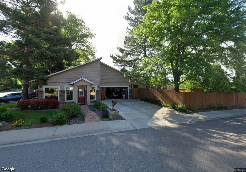
3100 Remington St Fort Collins, CO 80525
Estimated Value: $595,384 - $897,000
4
Beds
3
Baths
2,371
Sq Ft
$294/Sq Ft
Est. Value
About This Home
This home is located at 3100 Remington St, Fort Collins, CO 80525 and is currently estimated at $696,846, approximately $293 per square foot. 3100 Remington St is a home located in Larimer County with nearby schools including O'Dea Elementary School, Boltz Middle School, and Fort Collins High School.
Ownership History
Date
Name
Owned For
Owner Type
Purchase Details
Closed on
May 11, 2021
Sold by
Walker Laird M
Bought by
Walker Laird M and Patton Connie M
Current Estimated Value
Purchase Details
Closed on
Jan 2, 1997
Sold by
Paryzer Deborah L
Bought by
Walker Laird M
Home Financials for this Owner
Home Financials are based on the most recent Mortgage that was taken out on this home.
Original Mortgage
$220,000
Interest Rate
7.54%
Purchase Details
Closed on
Feb 1, 1996
Sold by
Paryzer Benjamin S
Bought by
Paryzer Deborah L
Purchase Details
Closed on
Nov 1, 1994
Sold by
Romal Limited Liability Co
Bought by
Paryzer Benjamin
Purchase Details
Closed on
Mar 1, 1992
Sold by
Gpl Limited Liability Co
Bought by
Vashaw Robert D
Create a Home Valuation Report for This Property
The Home Valuation Report is an in-depth analysis detailing your home's value as well as a comparison with similar homes in the area
Home Values in the Area
Average Home Value in this Area
Purchase History
| Date | Buyer | Sale Price | Title Company |
|---|---|---|---|
| Walker Laird M | -- | None Listed On Document | |
| Walker Laird M | $275,000 | -- | |
| Paryzer Deborah L | -- | -- | |
| Paryzer Benjamin | $165,000 | -- | |
| Vashaw Robert D | $140,000 | -- |
Source: Public Records
Mortgage History
| Date | Status | Borrower | Loan Amount |
|---|---|---|---|
| Previous Owner | Walker Laird M | $220,000 | |
| Closed | Walker Laird M | $27,500 |
Source: Public Records
Tax History Compared to Growth
Tax History
| Year | Tax Paid | Tax Assessment Tax Assessment Total Assessment is a certain percentage of the fair market value that is determined by local assessors to be the total taxable value of land and additions on the property. | Land | Improvement |
|---|---|---|---|---|
| 2025 | $4,322 | $63,799 | $8,358 | $55,441 |
| 2024 | $4,112 | $63,799 | $8,358 | $55,441 |
| 2022 | $4,523 | $54,851 | $6,746 | $48,105 |
| 2021 | $4,491 | $55,563 | $6,879 | $48,684 |
| 2020 | $4,554 | $55,823 | $6,879 | $48,944 |
| 2019 | $4,574 | $55,823 | $6,879 | $48,944 |
| 2018 | $3,562 | $46,279 | $6,912 | $39,367 |
| 2017 | $3,549 | $46,279 | $6,912 | $39,367 |
| 2016 | $2,678 | $37,295 | $7,418 | $29,877 |
| 2015 | $3,380 | $37,300 | $7,420 | $29,880 |
| 2014 | $3,100 | $33,980 | $7,420 | $26,560 |
Source: Public Records
Map
Nearby Homes
- 2612 Harvard St
- 3400 Stanford Rd Unit A129
- 3400 Stanford Rd Unit A120
- 431 W Swallow Rd
- 416 E Thunderbird Dr
- 3431 Stover St Unit E513
- 3431 Stover St Unit E523
- 3224 Eagle Dr
- 717 Parkview Dr
- 412 Baylor St
- 729 Parkview Dr
- 2918 Rocky Mountain Ct
- 705 E Drake Rd Unit O35
- 705 E Drake Rd Unit Q22
- 801 E Drake Rd Unit G80
- 2460 Stover St
- 809 Oxford Ln
- 809 E Drake Rd Unit B112
- 3248 Camelot Dr
- 730 Wagonwheel Dr
- 205 E Swallow Rd
- 209 E Swallow Rd
- 200 E Swallow Rd
- 202 E Swallow Rd
- 204 E Swallow Rd
- 213 E Swallow Rd
- 208 E Swallow Rd
- 121 E Swallow Rd Unit 204
- 121 E Swallow Rd Unit 203
- 121 E Swallow Rd Unit 202
- 121 E Swallow Rd Unit 201
- 121 E Swallow Rd
- 121 E Swallow Rd Unit 115
- 201 Linda Ln
- 212 E Swallow Rd
- 205 Linda Ln
- 217 E Swallow Rd
- 209 Linda Ln
- 216 E Swallow Rd
- 213 Linda Ln