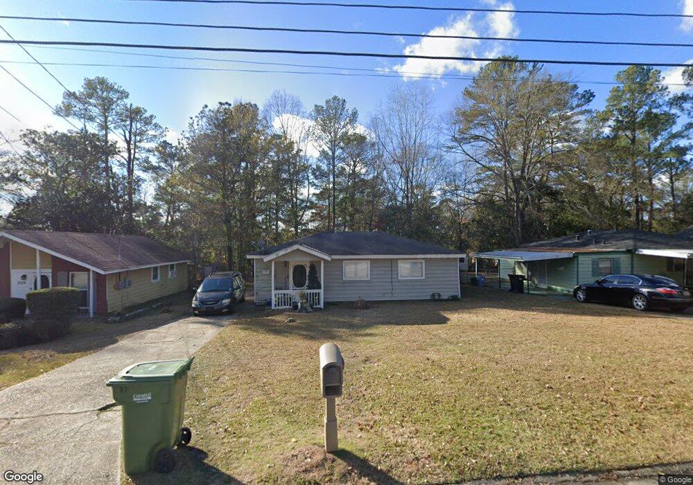
3101 Urban Ave Columbus, GA 31907
Eastern Columbus NeighborhoodEstimated Value: $88,110 - $93,000
3
Beds
2
Baths
864
Sq Ft
$104/Sq Ft
Est. Value
About This Home
This home is located at 3101 Urban Ave, Columbus, GA 31907 and is currently estimated at $90,028, approximately $104 per square foot. 3101 Urban Ave is a home located in Muscogee County with nearby schools including Forrest Road Elementary School, Fort Middle School, and Kendrick High School.
Ownership History
Date
Name
Owned For
Owner Type
Purchase Details
Closed on
Aug 14, 2012
Sold by
Big Mamas Stuff Llc
Bought by
Southwest Georgia Investments
Current Estimated Value
Purchase Details
Closed on
Mar 26, 2012
Sold by
Reid Jason D
Bought by
Big Mamas Stuff Llc
Purchase Details
Closed on
Aug 18, 2010
Sold by
Us Bank National Association
Bought by
Reid Jason D
Purchase Details
Closed on
Apr 6, 2010
Sold by
Atkinson Janice
Bought by
Us Bank National Association
Create a Home Valuation Report for This Property
The Home Valuation Report is an in-depth analysis detailing your home's value as well as a comparison with similar homes in the area
Home Values in the Area
Average Home Value in this Area
Purchase History
| Date | Buyer | Sale Price | Title Company |
|---|---|---|---|
| Southwest Georgia Investments | $20,000 | -- | |
| Big Mamas Stuff Llc | $14,782 | -- | |
| Reid Jason D | $18,800 | None Available | |
| Us Bank National Association | $41,900 | None Available |
Source: Public Records
Tax History Compared to Growth
Tax History
| Year | Tax Paid | Tax Assessment Tax Assessment Total Assessment is a certain percentage of the fair market value that is determined by local assessors to be the total taxable value of land and additions on the property. | Land | Improvement |
|---|---|---|---|---|
| 2025 | $760 | $19,424 | $5,872 | $13,552 |
| 2024 | $760 | $19,424 | $5,872 | $13,552 |
| 2023 | $765 | $19,424 | $5,872 | $13,552 |
| 2022 | $560 | $13,724 | $5,872 | $7,852 |
| 2021 | $612 | $14,988 | $5,872 | $9,116 |
| 2020 | $612 | $14,988 | $5,872 | $9,116 |
| 2019 | $614 | $14,988 | $5,872 | $9,116 |
| 2018 | $614 | $14,988 | $5,872 | $9,116 |
| 2017 | $616 | $14,988 | $5,872 | $9,116 |
| 2016 | $768 | $18,623 | $2,160 | $16,463 |
| 2015 | $769 | $18,623 | $2,160 | $16,463 |
| 2014 | $647 | $18,623 | $2,160 | $16,463 |
| 2013 | -- | $18,623 | $2,160 | $16,463 |
Source: Public Records
Map
Nearby Homes
- 3027 Lansing Ave
- 2940 Urban Ave
- 3301 Musket Dr
- 6000 Caribou Dr
- 5906 Forrest Rd
- 2807 Doyle Ave
- 6028 Caribou Dr
- 6059 Nassau Cir
- 5260 Woodruff Farm Rd
- 5018 Woodruff Farm Rd
- 2672 Honeysuckle Dr
- 2525 Corineth Dr
- 5833 Gleneden Dr
- 5929 Gleneden Dr
- 5920 Gleneden Dr
- 3521 Willow Bend Run
- 2501 White Chapel Dr
- 2505 White Chapel Dr
- 5225 Orange Dr
- 3409 Ambassador Dr