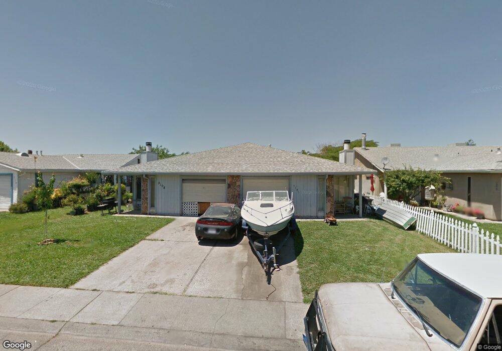
3106 Laurelhurst Dr Rancho Cordova, CA 95670
South White Rock NeighborhoodEstimated Value: $481,000 - $554,000
5
Beds
4
Baths
2,069
Sq Ft
$248/Sq Ft
Est. Value
About This Home
This home is located at 3106 Laurelhurst Dr, Rancho Cordova, CA 95670 and is currently estimated at $513,364, approximately $248 per square foot. 3106 Laurelhurst Dr is a home located in Sacramento County with nearby schools including Cordova Villa Elementary School, Mills Middle School, and Cordova High School.
Ownership History
Date
Name
Owned For
Owner Type
Purchase Details
Closed on
Apr 9, 1998
Sold by
Chee Kern
Bought by
Chee Kern and Chee Amanda L
Current Estimated Value
Home Financials for this Owner
Home Financials are based on the most recent Mortgage that was taken out on this home.
Original Mortgage
$56,500
Interest Rate
7.18%
Create a Home Valuation Report for This Property
The Home Valuation Report is an in-depth analysis detailing your home's value as well as a comparison with similar homes in the area
Home Values in the Area
Average Home Value in this Area
Purchase History
| Date | Buyer | Sale Price | Title Company |
|---|---|---|---|
| Chee Kern | -- | Fidelity National Title |
Source: Public Records
Mortgage History
| Date | Status | Borrower | Loan Amount |
|---|---|---|---|
| Closed | Chee Kern | $56,500 |
Source: Public Records
Tax History Compared to Growth
Tax History
| Year | Tax Paid | Tax Assessment Tax Assessment Total Assessment is a certain percentage of the fair market value that is determined by local assessors to be the total taxable value of land and additions on the property. | Land | Improvement |
|---|---|---|---|---|
| 2025 | $2,351 | $193,046 | $64,373 | $128,673 |
| 2024 | $2,351 | $189,261 | $63,111 | $126,150 |
| 2023 | $2,304 | $185,551 | $61,874 | $123,677 |
| 2022 | $2,274 | $181,913 | $60,661 | $121,252 |
| 2021 | $2,229 | $178,347 | $59,472 | $118,875 |
| 2020 | $2,214 | $176,520 | $58,863 | $117,657 |
| 2019 | $2,179 | $173,059 | $57,709 | $115,350 |
| 2018 | $2,123 | $169,667 | $56,578 | $113,089 |
| 2017 | $2,070 | $166,341 | $55,469 | $110,872 |
| 2016 | $2,012 | $163,081 | $54,382 | $108,699 |
| 2015 | $1,911 | $160,633 | $53,566 | $107,067 |
| 2014 | $2,034 | $157,487 | $52,517 | $104,970 |
Source: Public Records
Map
Nearby Homes
- 10395 S White Rock Rd Unit B
- 10472 Abbottford Way
- 10276 S White Rock Rd
- 10335 White Rock Rd
- 10850 Basie Way
- 10518 Mills Acres Cir
- 10834 Basie Way
- 10806 Basie Way
- 10320 Malaga Way
- 2669 Dawes St
- 10035 Mills Station Rd
- 10035 Mills Station Rd Unit 60
- 10035 Mills Station Rd Unit 26
- 10035 Mills Station Rd Unit 136
- 10035 Mills Station Rd Unit 153
- 10035 Mills Station Rd Unit 73
- 2722 La Verta Ct
- 10204 Malaga Way
- 10228 Coloma Rd
- 50 Shrine Way
- 3100 Laurelhurst Dr
- 3112 Laurelhurst Dr
- 3118 Laurelhurst Dr
- 3096 Laurelhurst Dr
- 3101 Laurelhurst Dr
- 3115 Laurelhurst Dr
- 3107 Laurelhurst Dr
- 3124 Laurelhurst Dr
- 3113 Laurelhurst Dr
- 3092 Laurelhurst Dr
- 3101 Chettenham Dr
- 3280 Sanbury Cir
- 3130 Laurelhurst Dr
- 3088 Laurelhurst Dr
- 3132 Laurelhurst Dr
- 3275 Sanbury Cir
- 3105 Chettenham Dr
- 3276 Sanbury Cir
- 3144 Laurelhurst Dr
- 3087 Laurelhurst Dr