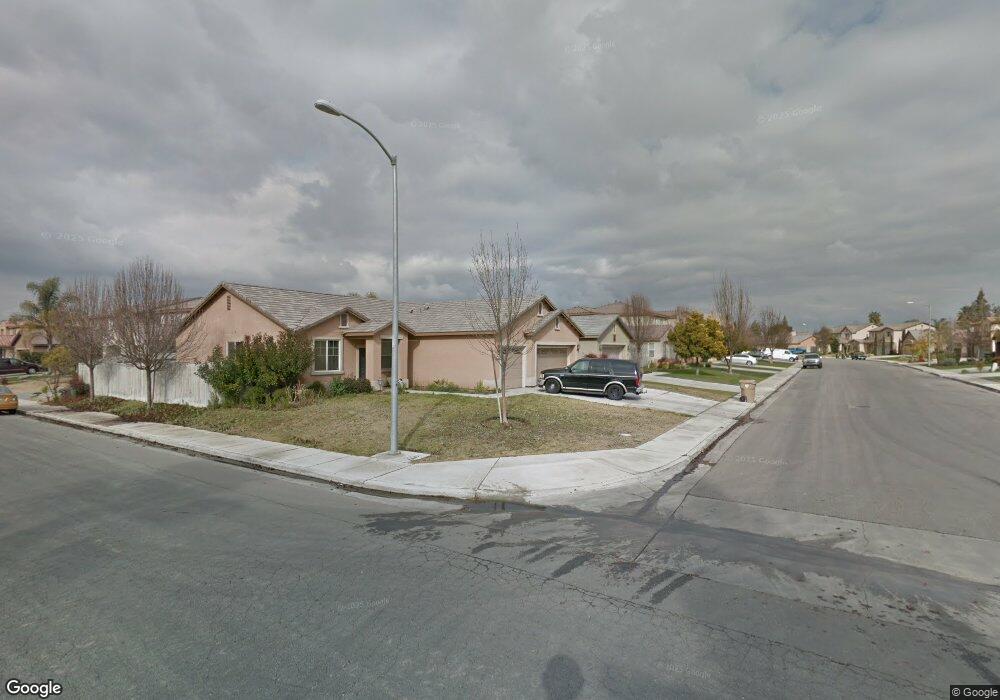
3107 Campfire Dr Unit 2 Bakersfield, CA 93312
Estimated Value: $383,000 - $427,000
3
Beds
2
Baths
1,850
Sq Ft
$224/Sq Ft
Est. Value
About This Home
This home is located at 3107 Campfire Dr Unit 2, Bakersfield, CA 93312 and is currently estimated at $414,874, approximately $224 per square foot. 3107 Campfire Dr Unit 2 is a home located in Kern County with nearby schools including Rosedale-North Elementary School, Freedom Middle School, and Centennial High School.
Ownership History
Date
Name
Owned For
Owner Type
Purchase Details
Closed on
Jan 9, 2015
Sold by
Gutierrez Rudolfo and Gutierrez Lorena
Bought by
Gutierrez Rodolfo and Gutierrez Lorena
Current Estimated Value
Home Financials for this Owner
Home Financials are based on the most recent Mortgage that was taken out on this home.
Original Mortgage
$154,800
Outstanding Balance
$54,129
Interest Rate
3.82%
Mortgage Type
New Conventional
Estimated Equity
$360,745
Purchase Details
Closed on
Jun 26, 2006
Sold by
Mcmillin Capella Llc
Bought by
Gutierrez Rudolfo and Gutierrez Lorena
Home Financials for this Owner
Home Financials are based on the most recent Mortgage that was taken out on this home.
Original Mortgage
$174,000
Interest Rate
6.57%
Mortgage Type
Purchase Money Mortgage
Create a Home Valuation Report for This Property
The Home Valuation Report is an in-depth analysis detailing your home's value as well as a comparison with similar homes in the area
Home Values in the Area
Average Home Value in this Area
Purchase History
| Date | Buyer | Sale Price | Title Company |
|---|---|---|---|
| Gutierrez Rodolfo | -- | Wfg | |
| Gutierrez Rudolfo | $322,500 | First American Title |
Source: Public Records
Mortgage History
| Date | Status | Borrower | Loan Amount |
|---|---|---|---|
| Open | Gutierrez Rodolfo | $154,800 | |
| Closed | Gutierrez Rudolfo | $174,000 |
Source: Public Records
Tax History
| Year | Tax Paid | Tax Assessment Tax Assessment Total Assessment is a certain percentage of the fair market value that is determined by local assessors to be the total taxable value of land and additions on the property. | Land | Improvement |
|---|---|---|---|---|
| 2025 | $5,747 | $419,000 | $105,000 | $314,000 |
| 2024 | $5,722 | $380,000 | $95,000 | $285,000 |
| 2023 | $5,722 | $380,000 | $95,000 | $285,000 |
| 2022 | $4,960 | $315,000 | $75,000 | $240,000 |
| 2021 | $4,659 | $296,000 | $74,000 | $222,000 |
| 2020 | $4,398 | $277,000 | $69,000 | $208,000 |
| 2019 | $4,252 | $265,000 | $66,000 | $199,000 |
| 2018 | $4,098 | $256,000 | $64,000 | $192,000 |
| 2017 | $4,062 | $252,000 | $63,000 | $189,000 |
| 2016 | $3,741 | $240,000 | $60,000 | $180,000 |
| 2015 | $3,734 | $241,000 | $60,000 | $181,000 |
| 2014 | $3,564 | $228,000 | $57,000 | $171,000 |
Source: Public Records
Map
Nearby Homes
- 3122 Campfire Dr Unit 2
- 3105 Silver Spur Way
- 11308 Sagebrush Ave
- 1900 Jewetta Ave
- 11908 Nebula Ct
- 11910 Compass Ave
- 3603 Deslok Dr
- 3622 Azure Dr
- 3416 Aslin St
- 3301 Beyers St
- 3226 Batch Ln
- 3604 Mehgan Ave
- 11265 Poulsen Way
- 3600 Piedmont Ave
- 3435 Moss St
- 11001 Aimee Way
- 12421 Winn Ave
- 10701 Meacham Rd
- 10617 Baron Ave
- 2710 Maher Way
- 3111 Campfire Dr
- 3103 Campfire Dr
- 11804 Cactus Dr Unit 2
- 3115 Campfire Dr
- 11808 Cactus Dr
- 3203 Aries Ct
- 3202 Aries Ct
- 3106 Campfire Dr Unit 2
- 3110 Campfire Dr
- 3102 Campfire Dr Unit 2
- 3119 Campfire Dr
- 11801 Cactus Dr
- 3114 Campfire Dr
- 11812 Cactus Dr
- 11805 Cactus Dr
- 11709 Cactus Dr Unit A
- 3207 Aries Ct
- 3118 Campfire Dr
- 3206 Aries Ct
- 3201 Campfire Dr
Your Personal Tour Guide
Ask me questions while you tour the home.