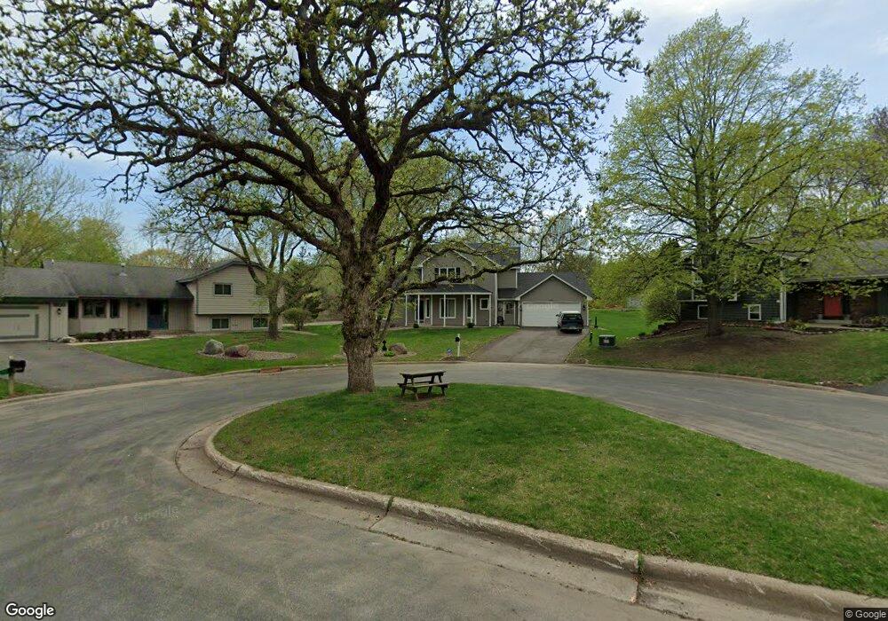
3109 E 126th St Burnsville, MN 55337
Estimated Value: $463,748 - $495,000
3
Beds
4
Baths
3,052
Sq Ft
$155/Sq Ft
Est. Value
About This Home
This home is located at 3109 E 126th St, Burnsville, MN 55337 and is currently estimated at $473,687, approximately $155 per square foot. 3109 E 126th St is a home located in Dakota County with nearby schools including William Byrne Elementary School, Burnsville High School, and Gateway STEM Academy.
Ownership History
Date
Name
Owned For
Owner Type
Purchase Details
Closed on
Aug 12, 2022
Sold by
Pecor Heath and Pecor Lily
Bought by
Maus Brian
Current Estimated Value
Purchase Details
Closed on
Jun 17, 2004
Sold by
Relocation Advantage
Bought by
Horton Timothy M and Horton Wendy E
Purchase Details
Closed on
Apr 20, 2004
Sold by
Roos Brian K and Roos Sharon L
Bought by
Relocation Advantage
Create a Home Valuation Report for This Property
The Home Valuation Report is an in-depth analysis detailing your home's value as well as a comparison with similar homes in the area
Home Values in the Area
Average Home Value in this Area
Purchase History
| Date | Buyer | Sale Price | Title Company |
|---|---|---|---|
| Maus Brian | $475,000 | -- | |
| Horton Timothy M | $290,000 | -- | |
| Relocation Advantage | $290,000 | -- |
Source: Public Records
Tax History Compared to Growth
Tax History
| Year | Tax Paid | Tax Assessment Tax Assessment Total Assessment is a certain percentage of the fair market value that is determined by local assessors to be the total taxable value of land and additions on the property. | Land | Improvement |
|---|---|---|---|---|
| 2024 | $4,332 | $413,400 | $96,200 | $317,200 |
| 2023 | $4,210 | $411,800 | $96,300 | $315,500 |
| 2022 | $3,424 | $395,200 | $96,100 | $299,100 |
| 2021 | $3,534 | $324,500 | $83,600 | $240,900 |
| 2020 | $3,470 | $317,800 | $76,300 | $241,500 |
| 2019 | $3,424 | $301,900 | $72,600 | $229,300 |
| 2018 | $3,462 | $284,700 | $69,200 | $215,500 |
| 2017 | $3,408 | $279,600 | $65,900 | $213,700 |
| 2016 | $3,214 | $271,100 | $62,800 | $208,300 |
| 2015 | $3,084 | $232,971 | $57,232 | $175,739 |
| 2014 | -- | $233,516 | $56,217 | $177,299 |
| 2013 | -- | $220,763 | $51,110 | $169,653 |
Source: Public Records
Map
Nearby Homes
- 12625 Sable Dr
- 188 River Woods Ln
- 146 River Woods Ln
- 145 River Woods Ln
- 55 River Woods Ln
- 12640 Tiffany Ct
- 72 River Woods Ln
- 3017 Rainier Ct
- 221 River Woods Ln
- 247 River Woods Ln
- 319 River Woods Ln
- 2708 Lassen Ct
- 2400 E 125th St
- 2300 Villaburne Ct W
- 108 Hidden Meadow Rd
- 101 Hidden Meadow Ct
- 109 Cimarron Ct
- 12232 Oak Leaf Cir
- 11921 Baypoint Dr
- 3309 Red Oak Cir N
- 3105 E 126th St
- 3113 E 126th St
- 12529 Norway Point
- 12525 Norway Point
- 3101 E 126th St
- 3117 E 126th St
- 3201 E 126th St
- 12521 Norway Point
- 12524 Norway Point
- 12604 33rd Ave S
- 12620 Sable Dr
- 12624 Sable Dr
- 3100 E 126th St
- 3205 E 126th St
- 12517 Norway Point
- 12520 Norway Point
- 12628 Sable Dr
- 12516 Norway Point
- 3104 E 126th St
- 12632 Sable Dr