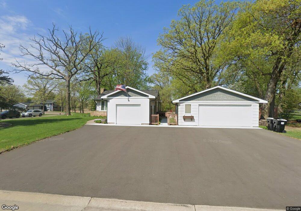
311 Lake St N Big Lake, MN 55309
Estimated Value: $330,463 - $361,000
3
Beds
2
Baths
1,258
Sq Ft
$275/Sq Ft
Est. Value
About This Home
This home is located at 311 Lake St N, Big Lake, MN 55309 and is currently estimated at $346,116, approximately $275 per square foot. 311 Lake St N is a home located in Sherburne County with nearby schools including Liberty Elementary School, Independence Elementary School, and Big Lake Middle School.
Ownership History
Date
Name
Owned For
Owner Type
Purchase Details
Closed on
Jun 5, 2025
Sold by
Barsness Paula Joan and Volna Arthur Anthony
Bought by
Volna Paula Joan Barsnes and Volna Arthur Anthony
Current Estimated Value
Purchase Details
Closed on
Jul 18, 2014
Sold by
Felber Phillip J
Bought by
Barsness Paula Joan and Felber Paula Joan Barsness
Purchase Details
Closed on
Aug 25, 2000
Sold by
Albus Michael J and Albus Christine
Bought by
Barness Paula J and Phiber Phillip J
Purchase Details
Closed on
Jan 4, 1996
Sold by
Anthony Steven R
Bought by
Albus Michael J and Albus Christine
Create a Home Valuation Report for This Property
The Home Valuation Report is an in-depth analysis detailing your home's value as well as a comparison with similar homes in the area
Home Values in the Area
Average Home Value in this Area
Purchase History
| Date | Buyer | Sale Price | Title Company |
|---|---|---|---|
| Volna Paula Joan Barsnes | $500 | None Listed On Document | |
| Barsness Paula Joan | -- | None Available | |
| Barness Paula J | $131,900 | -- | |
| Albus Michael J | $93,000 | -- |
Source: Public Records
Tax History Compared to Growth
Tax History
| Year | Tax Paid | Tax Assessment Tax Assessment Total Assessment is a certain percentage of the fair market value that is determined by local assessors to be the total taxable value of land and additions on the property. | Land | Improvement |
|---|---|---|---|---|
| 2025 | $4,018 | $338,800 | $88,100 | $250,700 |
| 2024 | $4,050 | $335,500 | $88,100 | $247,400 |
| 2023 | $3,818 | $338,100 | $88,100 | $250,000 |
| 2022 | $3,386 | $309,300 | $74,600 | $234,700 |
| 2020 | $3,232 | $232,500 | $44,300 | $188,200 |
| 2019 | $3,034 | $219,200 | $39,200 | $180,000 |
| 2018 | $3,334 | $204,800 | $36,000 | $168,800 |
| 2017 | $3,206 | $183,800 | $31,500 | $152,300 |
| 2016 | $3,078 | $171,100 | $28,200 | $142,900 |
| 2015 | $2,880 | $142,900 | $24,800 | $118,100 |
| 2014 | $5,144 | $139,000 | $24,700 | $114,300 |
| 2013 | -- | $119,900 | $23,700 | $96,200 |
Source: Public Records
Map
Nearby Homes
- 281 Shoreview Estate
- 657 Lake St N
- 393 Phyllis St
- 541 William St
- 199 Henry Rd
- 100 Park Ave
- 585 Glenwood Ave
- 23xxx 182nd St NW
- 591 Glenwood Ave
- 18585 Arctic Ave
- 19400 Karen Ln
- TBD Highway 10 NW
- 646 Driftwood Cir
- 726 Harrison Dr
- 705 Independence Dr NW
- 751 Glenwood Ave E
- 1280 Hill St
- 131 Euclid Ct
- 20386 181st Cir NW
- 241 Leighton Dr
- 351 Lake St N
- 310 Martin Ave
- 320 Shoreacres Dr
- 330 Shoreacres Dr
- 340 Shoreacres Dr
- 391 Lake St N
- 411 Lake St N
- 344 Shoreacres Dr
- 450 450 Shore Acres-Drive-
- 450 Shoreacres Dr
- 171 Lake St N
- 431 Lake St N
- 651 651 Shore Acres-Drive-
- 341 Shoreacres Dr
- 361 Shoreacres Dr
- 426 Shoreacres Dr
- 401 Shoreacres Dr
- 291 Shoreview Estate
- 340 Minnesota Ave
- 411 Shoreacres Dr