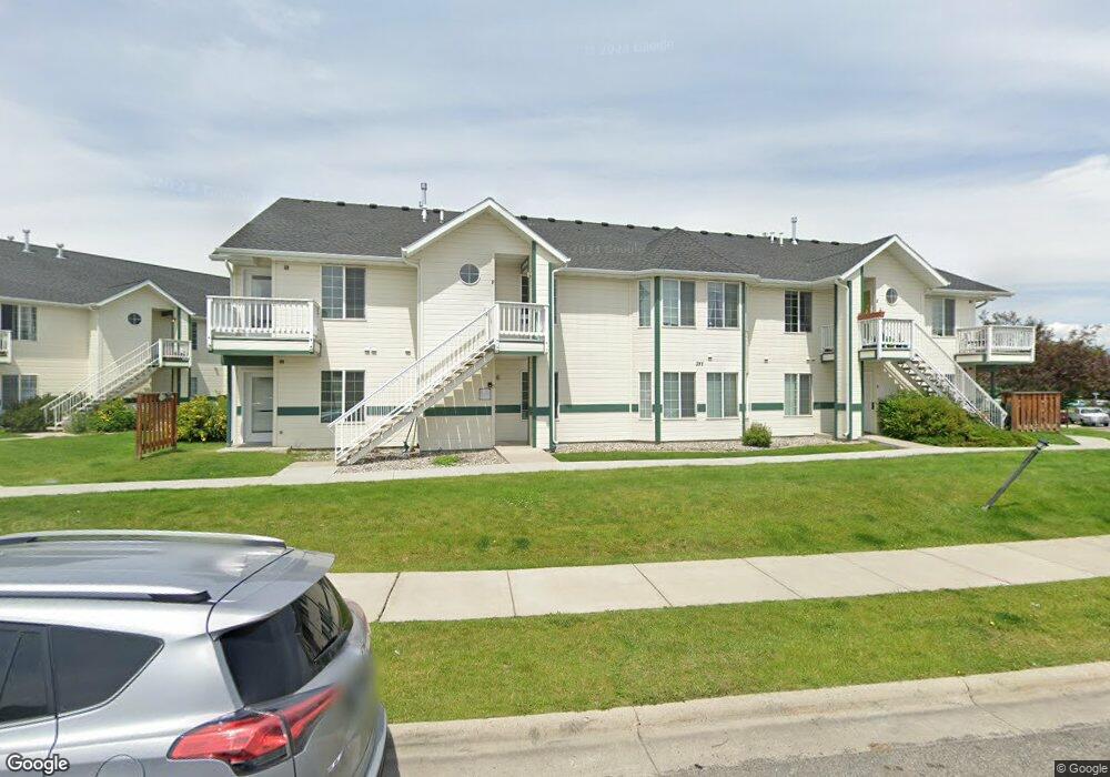
311 Michael Grove Ave Bozeman, MT 59718
Babcock NeighborhoodEstimated Value: $393,000 - $413,000
3
Beds
2
Baths
1,263
Sq Ft
$321/Sq Ft
Est. Value
About This Home
This home is located at 311 Michael Grove Ave, Bozeman, MT 59718 and is currently estimated at $405,175, approximately $320 per square foot. 311 Michael Grove Ave is a home located in Gallatin County with nearby schools including Emily Dickinson School, Chief Joseph Middle School, and Bozeman High School.
Ownership History
Date
Name
Owned For
Owner Type
Purchase Details
Closed on
Sep 9, 2015
Sold by
Kirkland Kris A and Kirkland Connie J
Bought by
Kirkland Branden K
Current Estimated Value
Purchase Details
Closed on
Sep 1, 2013
Sold by
Fannie Mae
Bought by
Kirkland Kirs A and Kirkland Connie J
Purchase Details
Closed on
May 28, 2013
Sold by
Deboer Shane
Bought by
Fannie Mae
Purchase Details
Closed on
Sep 11, 2006
Sold by
Shirey Joseph Wayne and Shirey Mallory Elizabeth
Bought by
Deboer Shane
Home Financials for this Owner
Home Financials are based on the most recent Mortgage that was taken out on this home.
Original Mortgage
$144,450
Interest Rate
6.51%
Mortgage Type
Unknown
Create a Home Valuation Report for This Property
The Home Valuation Report is an in-depth analysis detailing your home's value as well as a comparison with similar homes in the area
Home Values in the Area
Average Home Value in this Area
Purchase History
| Date | Buyer | Sale Price | Title Company |
|---|---|---|---|
| Kirkland Branden K | -- | None Available | |
| Kirkland Kirs A | -- | First American Title Company | |
| Fannie Mae | $138,625 | Title Financial Specialty Se | |
| Deboer Shane | -- | Security Title Company |
Source: Public Records
Mortgage History
| Date | Status | Borrower | Loan Amount |
|---|---|---|---|
| Previous Owner | Deboer Shane | $144,450 |
Source: Public Records
Tax History Compared to Growth
Tax History
| Year | Tax Paid | Tax Assessment Tax Assessment Total Assessment is a certain percentage of the fair market value that is determined by local assessors to be the total taxable value of land and additions on the property. | Land | Improvement |
|---|---|---|---|---|
| 2024 | $2,770 | $416,100 | $0 | $0 |
| 2023 | $2,683 | $435,200 | $0 | $0 |
| 2022 | $2,009 | $262,000 | $0 | $0 |
| 2021 | $2,217 | $262,000 | $0 | $0 |
| 2020 | $1,825 | $213,200 | $0 | $0 |
| 2019 | $1,867 | $213,200 | $0 | $0 |
| 2018 | $1,542 | $163,100 | $0 | $0 |
| 2017 | $1,442 | $163,100 | $0 | $0 |
| 2016 | $1,245 | $131,500 | $0 | $0 |
| 2015 | $1,239 | $131,500 | $0 | $0 |
| 2014 | $1,387 | $86,708 | $0 | $0 |
Source: Public Records
Map
Nearby Homes
- 226 Peter Place Unit A-D
- 515 Michael Grove Ave Unit 55
- 350 Meriwether Ave
- 440 Meriwether Ave
- 3020 W Villard St Unit 4D
- 454 Meriwether Ave
- 470 Meriwether Ave
- 488 Meriwether Ave
- 116 Michael Grove Ave
- 2801 W Villard St
- 309 Meriwether Ave
- 128 Droulliard Ave
- 441 N Valley Dr
- 362 Chase Way Unit A
- 3197 Rose St
- 3205 W Babcock St
- 3455 W Cascade St
- 302 Swayback Ln
- 131 Stallion Dr
- 111 White Horse Loop
- 311 Michael Grove Ave
- 311 Michael Grove Ave
- 311 Michael Grove Ave
- 311 Michael Grove Ave
- 311 Michael Grove Ave
- 311 Michael Grove Ave
- 311 Michael Grove Ave
- 311 Michael Grove Ave Unit 4B
- 311 Michael Grove Ave Unit C
- 311 Michael Grove Ave Unit G
- 311 Michael Grove Ave Unit C
- 311 Michael Grove Ave Unit D
- 311 Michael Grove Ave Unit 4H
- 305 Michael Grove Ave
- 305 Michael Grove Ave
- 305 Michael Grove Ave
- 305 Michael Grove Ave
- 305 Michael Grove Ave
- 305 Michael Grove Ave
- 305 Michael Grove Ave